
")


Description
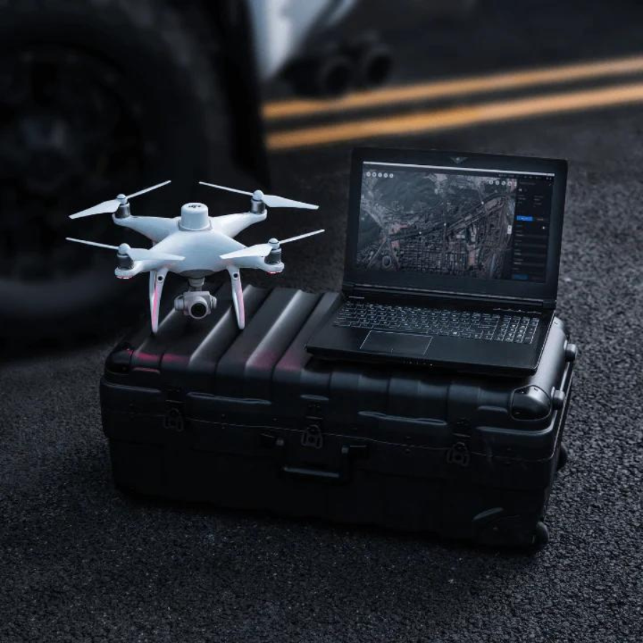
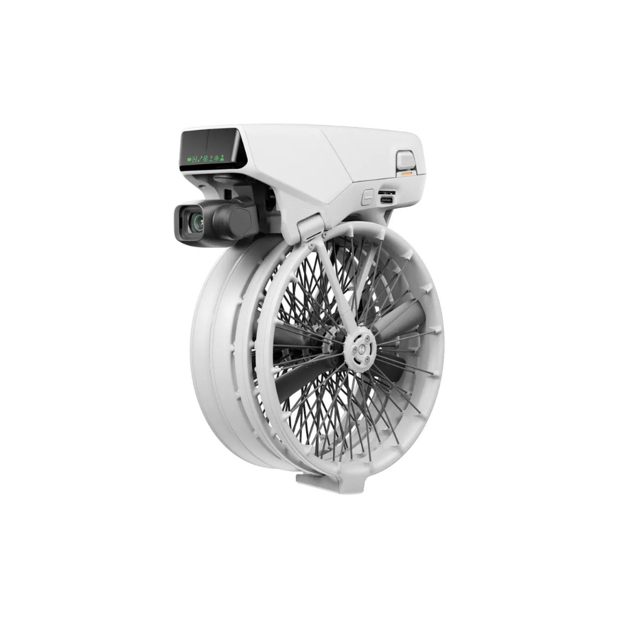
Introducing DJI Terra
The world’s top commercial drone manufacturer, DJI, created DJI Terra, a professional-grade drone mapping software. DJI Terra is a PC application software with features such 2D multispectral reconstruction, LiDAR point cloud processing, and thorough inspection missions. It mostly uses 2D orthophotos and 3D model reconstruction. With thorough reconstruction models catering to verticals including land mapping, power transmission, emergency services, construction, transportation, and agriculture, it is a one-stop solution that offers industry users unmatched efficiency.
In addition to its mapping and analysis tools, DJI Terra has a number of features made especially for the agricultural sector. These include instruments for yield forecasting, irrigation optimization, and crop health monitoring. Farmers and agronomists can use DJI Terra to gain a bird’s-eye view of their farms and decide how to best run their businesses.
For professionals in a variety of industries that need to maximize their aerial data, DJI Terra is a crucial tool. Whatever your profession—surveying, farming, or construction—DJI Terra offers the tools and capabilities you need to finish the task.
Area Mapping – 3 D Models: It creates a realistic 3D model by automatically importing photos taken from various angles. There are three resolutions available—high, medium, and low—for picture reconstruction in a variety of situations, including surveying and mapping, accident sites, power grid equipment, and project progress monitoring. It scales upto 400 photos/1 GB in a single computer, with maintaining an efficiency of 30,000 photos/3 days in a single computer, providing accurate data.
2D Map: Create high resolution orthomosaics to acquire precise measurement results for all of your major projects. Maintaining an efficiency of 5000 photos/2 Hours in a single computer.
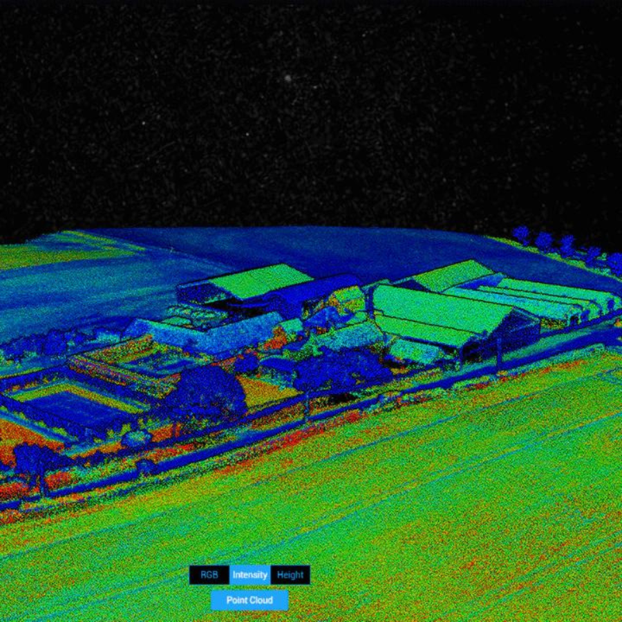
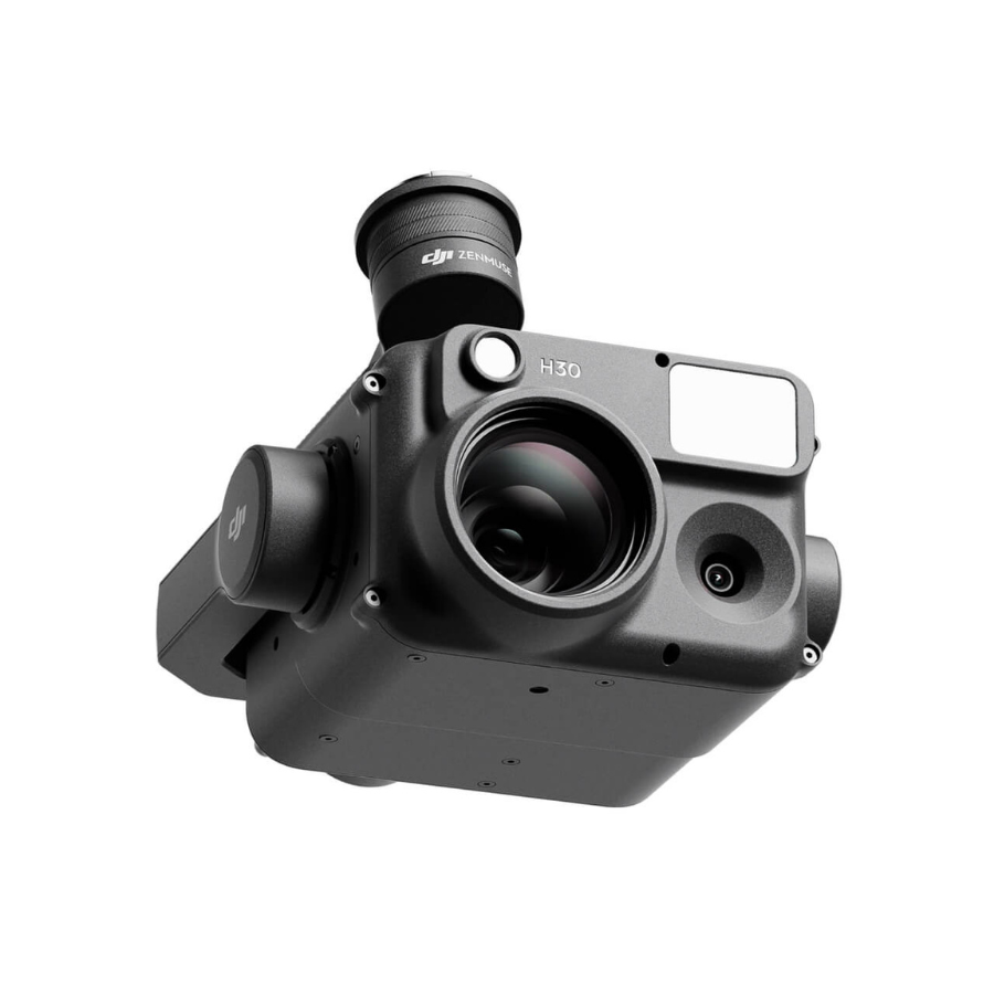
Lidar: Utilize DJI Terra to process the Zenmuse L1’s point cloud data. Create fieldwork reports, combining point cloud and visible light data, export point clouds in specified formats, and calculate POS data all with a single click.
Multispectral: Create radiometrically calibrated reflectance maps for remote sensing studies and more using multispectral data from P4 Multispectral, or create vegetation index maps containing NDVI and NDRE. To increase crop yields while lowering expenses, create prescription maps for variable rate application using DJI’s Agras drones.
User Experience: The user-friendly interface of DJI Terra is one of its distinguishing qualities because it makes it simple for users to swiftly process and evaluate their data. The software comes with a variety of tools for calculating volumes, areas, and distances as well as for identifying and classifying items in pictures. With the help of these technologies, it is possible to glean insightful information from aerial data and make feasible decisions based on precise and current knowledge.
DJI Terra Agriculture Version:
With DJI Terra, you can easily map, analyse, and visualise your surroundings. This software was created to help experts in the field turn real-world situations into digital assets.
- Model reconstruction: Create a high-resolution 2D orthophoto map and a high-accuracy 3D model by importing pictures.
- Real-time reconstruction: Create a 3D model and a 2D orthophoto map in real time during the flight to output findings.
- Lidar data processing: With just one click with DJI L1, DJI Terra can produce highly accurate true-color cloud points.
- Detailed Inspection: To automate inspection procedures, routes can be generated automatically based on target points specified in a 3D model or point cloud.
- Model application: Measure targets’ coordinates, distances, areas, volumes, and other important data with ease, and then easily rename or export the data outcomes.
[1] A Windows 7 or later (64-bit) system is required to run the software.
[2] Minimum computer configuration requirements: 16 GB memory, an NVIDIA graphics card with a compute capability of 3.0 or above (4 GB graphic memory).
[3] Only Phantom 4 series are supported, and the configuration requirements listed in Point [2] also apply to real-time 3D reconstruction.
[4] Only supports exporting mission routes to Matrice 300 RTK or Phantom 4 RTK (NO-MONITOR RC).
STEPS:
- An activation code for DJI Terra will be sent to your email address after your subscription is successfully completed.
- For a license that supports one device only, you can submit one unbinding request in a calendar year. License that supports three devices: You can submit two unbinding requests in a calendar year. After you submit an unbinding request, all bound devices under the license will be unbound.
- The user account that is bound to a license cannot be changed.
Terra Pro Version:
With DJI Terra, you can easily map, analyse, and visualise your surroundings. This software was created to help experts in the field turn real-world situations into digital assets.
- Model reconstruction: Create a high-resolution 2D orthophoto map and a high-accuracy 3D model by importing pictures.
- Real-time reconstruction: Create a 3D model and a 2D orthophoto map in real time during the flight to output findings.
- Lidar data processing: With just one click with DJI L1, DJI Terra can produce highly accurate true-color cloud points.
- Detailed Inspection: To automate inspection procedures, routes can be generated automatically based on target points specified in a 3D model or point cloud.
- Model application: Measure targets’ coordinates, distances, areas, volumes, and other important data with ease, and then easily rename or export the data outcomes.
[1] A Windows 7 or later (64-bit) system is required to run the software.
[2] Minimum computer configuration requirements: 16 GB memory, an NVIDIA graphics card with a compute capability of 3.0 or above (4 GB graphic memory).
[3] Only Phantom 4 series are supported, and the configuration requirements listed in Point [2] also apply to real-time 3D reconstruction.
[4] Only supports exporting mission routes to Matrice 300 RTK or Phantom 4 RTK (NO-MONITOR RC).
STEPS:
- An activation code for DJI Terra will be sent to your email address after your subscription is successfully completed.
- For a license that supports one device only, you can submit one unbinding request in a calendar year. License that supports three devices: You can submit two unbinding requests in a calendar year. After you submit an unbinding request, all bound devices under the license will be unbound.
- The user account that is bound to a license cannot be changed.
DJI Terra Electricity Version:
With DJI Terra, you can easily map, analyse, and visualise your surroundings. This software was created to help experts in the field turn real-world situations into digital assets.
- Model reconstruction: Create a high-resolution 2D orthophoto map and a high-accuracy 3D model by importing pictures.
- Real-time reconstruction: Create a 3D model and a 2D orthophoto map in real time during the flight to output findings.
- Lidar data processing: With just one click with DJI L1, DJI Terra can produce highly accurate true-color cloud points.
- Detailed Inspection: To automate inspection procedures, routes can be generated automatically based on target points specified in a 3D model or point cloud.
- Model application: Measure targets’ coordinates, distances, areas, volumes, and other important data with ease, and then easily rename or export the data outcomes.
[1] A Windows 7 or later (64-bit) system is required to run the software.
[2] Minimum computer configuration requirements: 16 GB memory, an NVIDIA graphics card with a compute capability of 3.0 or above (4 GB graphic memory).
[3] Only Phantom 4 series are supported, and the configuration requirements listed in Point [2] also apply to real-time 3D reconstruction.
[4] Only supports exporting mission routes to Matrice 300 RTK or Phantom 4 RTK (NO-MONITOR RC).
STEPS:
- An activation code for DJI Terra will be sent to your email address after your subscription is successfully completed.
- For a license that supports one device only, you can submit one unbinding request in a calendar year. License that supports three devices: You can submit two unbinding requests in a calendar year. After you submit an unbinding request, all bound devices under the license will be unbound.
- The user account that is bound to a license cannot be changed.
FAQ's
1. What is DJI Terra used for?
DJI Terra is a 3D mapping and data processing software designed for aerial surveying, construction, agriculture, public safety, and infrastructure inspection. It allows users to create accurate maps, 3D models, and analyze spatial data from drone imagery.
2. Which drones are compatible with DJI Terra?
DJI Terra is compatible with a range of DJI drones, including the Phantom 4 RTK, Matrice 300 RTK, Matrice 30 Series, and other enterprise-level drones that support RTK positioning and high-resolution imaging.
3. Does DJI Terra require an internet connection?
DJI Terra can function offline for most mission planning and data processing tasks. However, internet access is needed for activation, updates, and some map-loading features.
4. What types of missions can I plan in DJI Terra?
You can plan various mission types including 2D mapping, 3D modeling, oblique missions, linear route planning, and detailed inspection missions tailored to specific industries.
5. Can DJI Terra process RTK/PPK data?
Yes, DJI Terra supports processing of high-accuracy data collected from RTK or PPK-enabled drones, allowing centimeter-level mapping precision.
6. What output formats does DJI Terra support?
DJI Terra exports data in standard industry formats including DSM, DTM, point cloud (LAS), 3D mesh (OBJ), orthophoto (GeoTIFF), and more.
7. Is DJI Terra a subscription-based software?
Yes, DJI Terra offers different license types including yearly and perpetual options. Choose from Advanced, Pro, and Electricity versions based on your project needs.
8. Can DJI Terra be used for agriculture mapping?
Yes, it includes vegetation index analysis and field segmentation tools, making it suitable for crop monitoring, health analysis, and precision agriculture.
9. Does DJI Terra support real-time 3D reconstruction?
Yes, it supports real-time 3D modeling when used with compatible hardware, enabling fast terrain analysis and situational awareness during missions.
10. Is technical support available for DJI Terra?
Yes, DJI and authorized partners like XBoom provide user guides, tutorials, and technical support for installation, usage, and troubleshooting.


There are no reviews yet.