
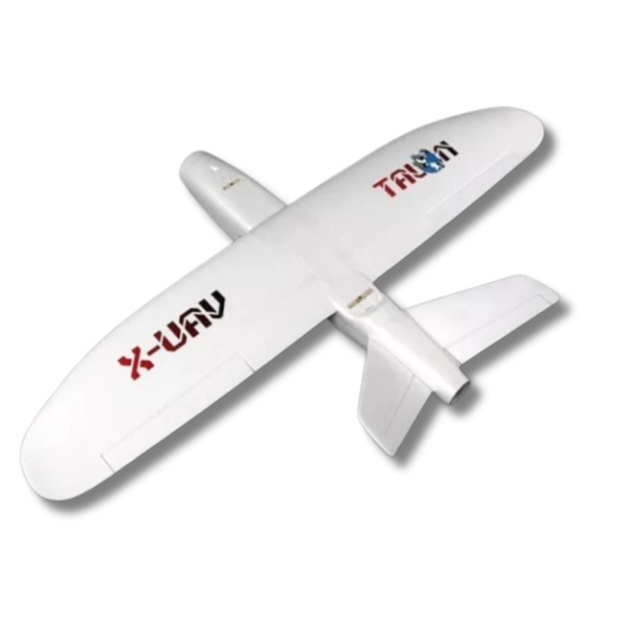
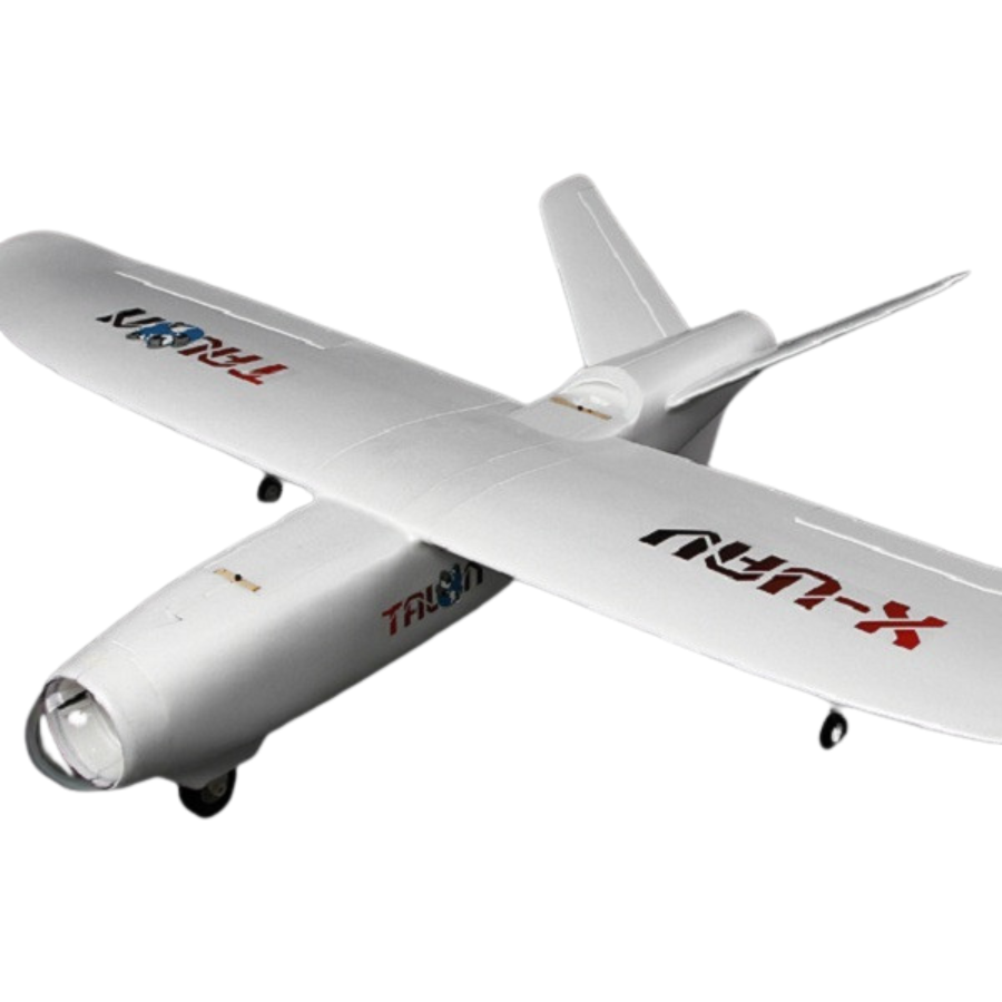
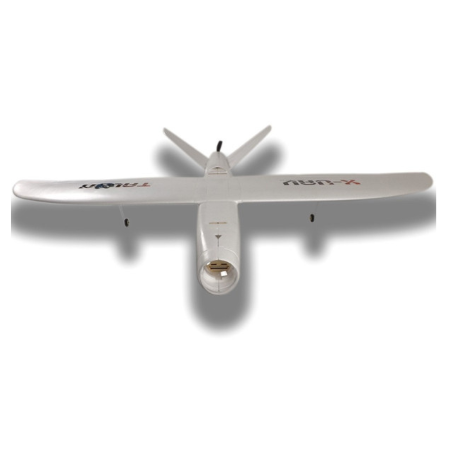
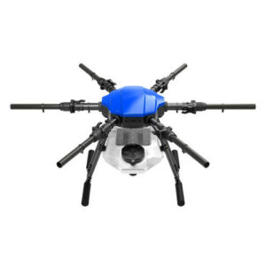
Talon X-UAV 1718 Long Range Aerial Mapping
- Widely used Talon plane. Easy to Fly.
- Large wing span and wing area.
- Can take payloads like cameras or sensors. High-lift plane
- High-quality EPO-compressed
- Plywood motor mount
- It comes in 2 wing part
- Easy to assemble and fly.
- 3 months · ₹7,096
- 6 months · ₹3,548
- 9 months · ₹2,366
Select Snapmint at checkout · Available on orders above ₹3,000 · Subject to eligibility
- Trusted dealerDirect manufacturer partnership
- Pan-India deliveryInsured shipping, all states
- Post-sale supportTraining + service included
What makes it work
Talon X-UAV
The Talon X-UAV 17518 is a premier long-range aerial mapping drone designed for precision and endurance. Engineered to meet the demands of extensive aerial surveys and mapping projects, this UAV stands out for its exceptional flight duration and robust design. Equipped with advanced navigation systems and high-resolution cameras, it delivers unparalleled accuracy in data collection over vast areas. The Talon X-UAV 17518 is the ideal choice for professionals in agriculture, environmental monitoring, and urban planning, offering a seamless integration of technology and performance to capture detailed imagery and topographic data from the skies. Its user-friendly interface and automated flight patterns ensure efficient operation, making long-range mapping missions both feasible and highly effective. Shop now on XBOOM .
Extended Coverage: The drone is engineered for long-range operations, enabling it to cover vast areas without the need for frequent stops. This feature is critical for comprehensive mapping projects that require extensive aerial surveys over large territories.
Precision Imaging: Equipped with high-resolution cameras, the X-UAV 17518 captures crystal-clear images and videos. This capability ensures detailed aerial imagery for accurate mapping and surveying, making it invaluable for precision agriculture, environmental monitoring, and urban planning.
Advanced Navigation: Incorporating cutting-edge GPS and GLONASS technology, the drone offers exceptional navigational accuracy. This system facilitates precise waypoint navigation, ensuring that every flight path is accurately followed for systematic data collection.
Automated Operations: With sophisticated flight planning software, the drone automates data collection over designated areas. This feature simplifies the mapping process, allowing for efficient planning and execution of complex flight paths with minimal human intervention.
Enhanced Endurance: The high-capacity batteries provide extended flight times, significantly increasing operational efficiency. This endurance is crucial for completing prolonged missions, reducing the need for frequent battery changes or recharges.
Durable Design: Built to endure various environmental conditions, the Talon X-UAV 17518 features a robust construction. This durability ensures reliable performance in challenging weather, offering consistent results across diverse landscapes.
Real-Time Data Sharing: Offering real-time data transmission, the drone enables immediate analysis and decision-making. This connectivity ensures that critical data is quickly accessible to teams on the ground, enhancing the effectiveness of each mission.
VTOL Capability: Its Vertical Takeoff and Landing (VTOL) capability allows deployment in varied terrains. This flexibility is particularly beneficial in areas where traditional runway takeoffs are not feasible, broadening the scope of possible mission locations.
Flexible Payloads: Designed to carry various payloads, the drone adapts to specific project needs. Whether it’s multispectral sensors for agriculture, LiDAR for topographical surveys, or thermal imaging for environmental studies, the Talon X-UAV 17518 can be equipped accordingly.
Obstacle Avoidance: With intelligent sensors, the drone navigates safely, avoiding obstacles during flight. This technology is essential for maintaining the safety and integrity of the drone, especially in complex environments.
Efficient Propulsion: The optimized propulsion system strikes a balance between power and efficiency. This design extends the drone’s range and flight duration, ensuring that more ground can be covered in a single mission without sacrificing performance.
Adaptive Flight Modes: The drone offers customizable flight modes to suit various mapping and surveying needs. From hovering over specific points to executing pre-planned grid patterns, these modes enhance data collection accuracy and efficiency.
User Accessibility: Featuring an intuitive interface, the drone simplifies operation for pilots of all skill levels. This ease of use ensures that professionals can focus on the mission objectives without being bogged down by complex flight controls.
Integrated Software Solutions: Supported by comprehensive mapping and analysis software, the drone facilitates seamless data processing. This software compatibility allows for efficient integration of aerial data into GIS platforms, streamlining the workflow from data collection to analysis.
Eco-friendly Approach: Emphasizing sustainability, the drone utilizes electric propulsion, minimizing environmental impact. This eco-friendly operation not only reduces noise pollution but also lowers carbon emissions, aligning with modern environmental conservation efforts.
The Talon X-UAV 17518 embodies the pinnacle of long-range aerial mapping technology, offering a suite of features that cater to the rigorous demands of professional surveying and mapping. With its extended range, precision imaging, and robust design, this drone is an indispensable tool for achieving detailed and accurate aerial data across a wide array of applications.
Specifications of Talon X-UAV 17518
General
- Model: Talon X-UAV 17518
- Purpose: Long Range Aerial Mapping
- Weight: 4.5 kg (Without payload)
- Wingspan: 2.5 meters
- Length: 1.2 meters
- Maximum Takeoff Weight (MTOW): 6 kg
- Material: Composite materials for lightweight and durability
- Flight Time: Up to 2 hours on a single charge
- Battery Type: High-capacity Lithium-Polymer (LiPo)
- Battery Capacity: 22,000 mAh
- Charging Time: Approximately 4 hours
- Maximum Speed: 100 km/h
- Cruise Speed: 60 km/h
Others
- Operational Ceiling: 3,000 meters above sea level
- Communication Range: Up to 30 km with standard equipment, extendable with additional modules
- Navigation System: GPS and GLONASS for enhanced accuracy and reliability
- Camera: High-resolution 20 MP camera with the capability to shoot 4K video; optional gimbal support for stabilization
- Payload Capacity: Up to 1.5 kg, allowing for the integration of various sensors and equipment
- Data Link: Secure RF for command and control, with optional 4G/5G LTE for extended range and capabilities
- Autonomy: Fully autonomous flight capability with programmable waypoints, automatic takeoff, and landing
- Safety Features: Automatic return to home (RTH) on loss of signal or low battery, integrated parachute for emergency landings
- Software Compatibility: Compatible with leading mapping and GIS software for data processing and analysis
- Operational Temperatures: -10°C to 40°C, capable of flying in diverse weather conditions
- Launch Method: Hand launch or catapult launch for flexibility in various field conditions
- Landing Method: Belly landing or optional parachute recovery
- Certifications: Complies with relevant UAV regulations and standards for safety and operational efficiency
Package Contents
- Talon X-UAV 17518 airframe
- High-capacity Lithium-Polymer battery
- Standard high-resolution camera
- Remote control transmitter and receiver
- GPS module
- Data link system
- User manual and setup guide
- Propellers and spare parts kit
- Charging equipment
FAQs for Talon X-UAV 17518 Long Range Aerial Mapping Drone
What is the maximum flight time of the Talon X-UAV 17518? The Talon X-UAV 17518 can fly for up to 2 hours on a single charge, depending on conditions and payload.
How far can the Talon X-UAV 17518 travel? It has a communication range of up to 30 km with standard equipment, which can be extended with additional modules.
Can the Talon X-UAV 17518 fly in bad weather? Yes, it is designed to operate in a wide range of weather conditions, from -10°C to 40°C. Its durable construction allows it to withstand various environmental challenges.
What types of payloads can the Talon X-UAV 17518 carry? It has a payload capacity of up to 1.5 kg, suitable for high-resolution cameras, multispectral sensors, LiDAR, and other surveying instruments.
Is the Talon X-UAV 17518 easy to operate? Yes, it features fully autonomous flight capabilities with programmable waypoints, automatic takeoff, and landing, making it accessible for users with varying levels of experience.
How is data collected and transmitted during flight? Data is collected through its high-resolution camera or other sensors and can be transmitted in real-time via a secure RF data link, with an optional 4G/5G LTE link for extended capabilities.
What is the landing method for the Talon X-UAV 17518? It is designed for belly landing to ensure a safe return. An optional parachute recovery system can be used for added safety in challenging terrain.
Can the Talon X-UAV 17518 be used for commercial purposes? Absolutely, its long-range and high-endurance capabilities make it ideal for various commercial applications, including agriculture, environmental monitoring, and urban planning.
What software is compatible with the Talon X-UAV 17518 for data processing? It is compatible with leading mapping and GIS software, allowing for seamless data processing and analysis.
Does the Talon X-UAV 17518 come with a warranty? Yes, it comes with a manufacturer’s warranty. Please refer to the user manual or contact the manufacturer directly for specific warranty details and coverage.
Is training provided for operating the Talon X-UAV 17518? While the drone is designed to be user-friendly, specific training programs or resources may be offered by the manufacturer or authorized dealers to ensure users can fully leverage its capabilities.
How long does it take to charge the battery? The high-capacity Lithium-Polymer battery takes approximately 4 hours to fully charge.
Can the Talon X-UAV 17518 be customized for specific projects? Yes, its flexible payload capacity allows for various sensors and equipment to be integrated, making it customizable for a wide range of project requirements.
The full sheet
Related products
-
·AIR·00
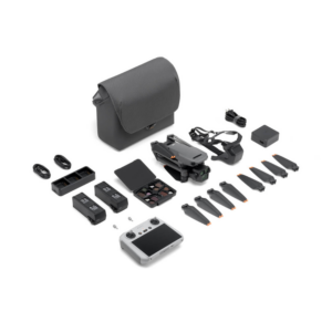
 VFLYX 16L Agricultural Drone Camera V1 (Basic Model)Original price was: ₹523,810.₹380,000Current price is: ₹380,000. (Excl. GST)Add to cart
 -
·AIR·01
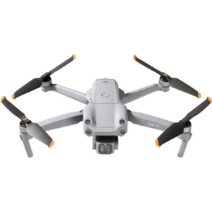
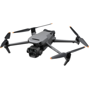 DJI Mavic 3 Pro Fly More Combo DroneOriginal price was: ₹332,380.₹257,142Current price is: ₹257,142. (Excl. GST)Add to cart
 -
·AIR·02
Featured
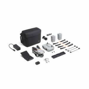
 DJI Air 2S Fly More Combo Drone CameraOriginal price was: ₹190,475.₹123,809Current price is: ₹123,809. (Excl. GST)Add to cart
 -
·AIR·03

There are no reviews yet.