


Description
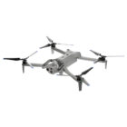
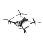
Introducing The Skydio X10
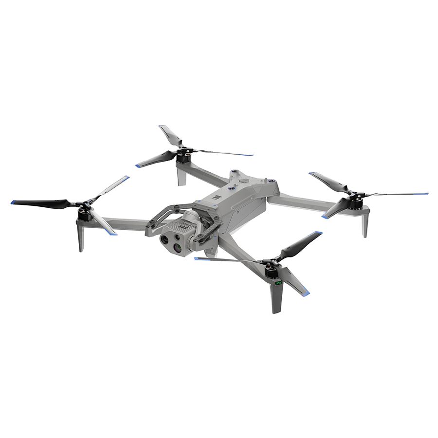
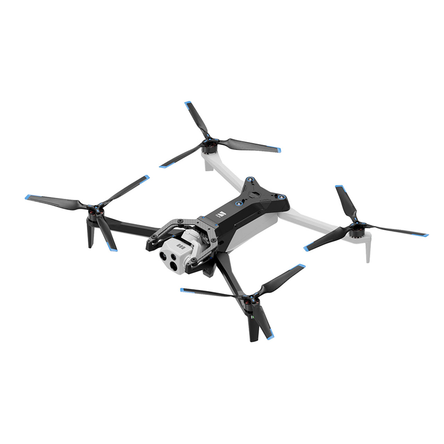
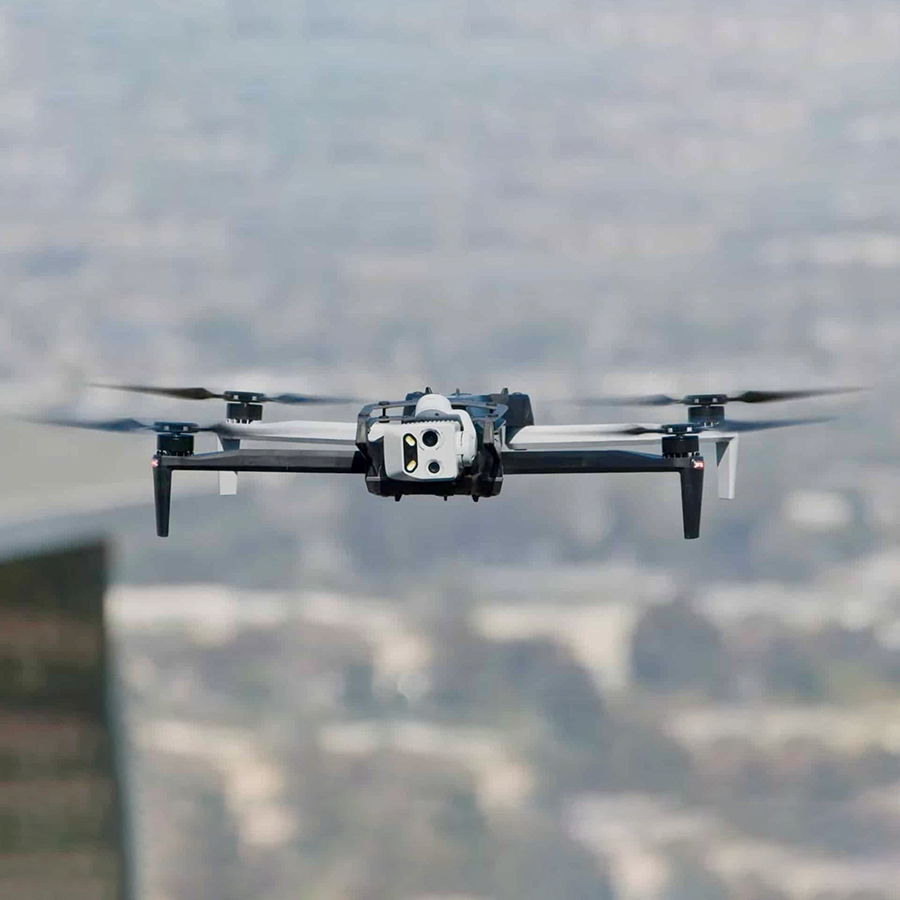
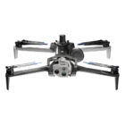
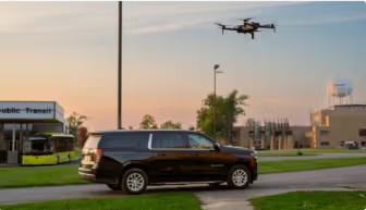
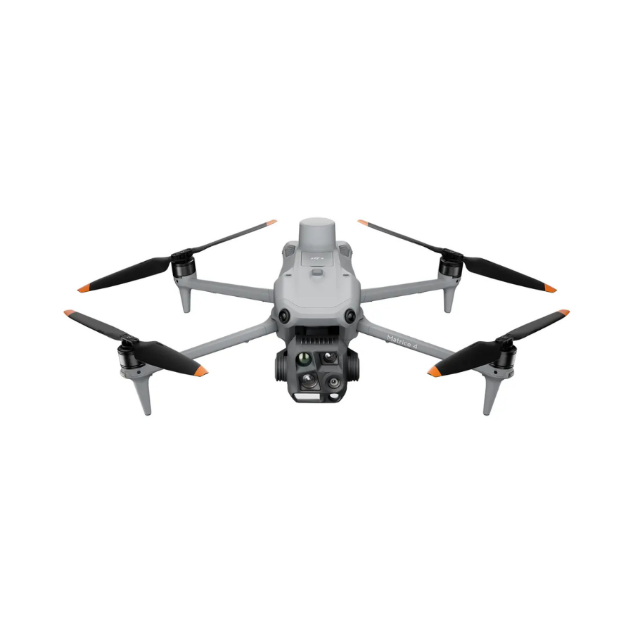
The Skydio X10 is a high-performance drone tailored for critical industries like public safety, military operations, and infrastructure management. It combines advanced sensors, modular design, and AI-powered autonomy to operate in challenging environments, even in low-light conditions. This drone is capable of capturing detailed data with unmatched precision, while offering real-time operational flexibility. Skydio’s aim is to integrate drones into essential infrastructure, enhancing situational awareness in various high-stakes scenarios.
Features of Skydio X10
| Features of Skydio X10 | Description |
|---|---|
| Sensors | 640×512 thermal imaging, 50MP and 64MP cameras with custom lenses |
| Autonomy | AI-powered, autonomous flight with NightSense for low-light navigation |
| Connectivity | 5G-enabled, remote flight via web browser, operates up to 7.5 miles away |
| Durability | IP55 rating, rain-resistant, electromagnetic interference resistant |
| Modular Platform | Expandable with additional sensor packages and attachments |
| Deployment Speed | Ready for flight in under 40 seconds |
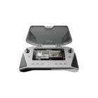
| Control System | Ultra-bright controller with multi-band for contested environments |
| Use Cases | Ideal for first responders, infrastructure inspections, military operations |
Advanced Performance and Durability of Skydio X10 Drone
The best sensors for a drone this small, piloted by the most advanced AI in the sky. Get the data you need, wherever and whenever you need it.
45 mph Max flight speed | 40 min Max flight time | <40 sec Deployment time | IP55 Certified against dust and water
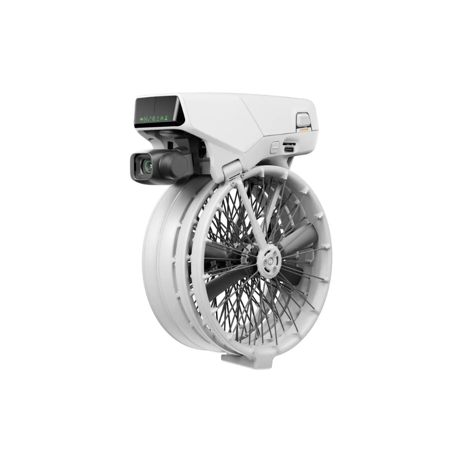
Visionary Cameras for Precise Capture
Skydio X10 is designed with advanced cameras, featuring high-resolution visuals and radiometric capabilities. Its modular sensor packages provide superior optics, enabling detailed image capture even in demanding environments. With these features, the X10 ensures precision and clarity, making it an ideal choice for professional tasks.
The right sensors for your mission in Skydio X10
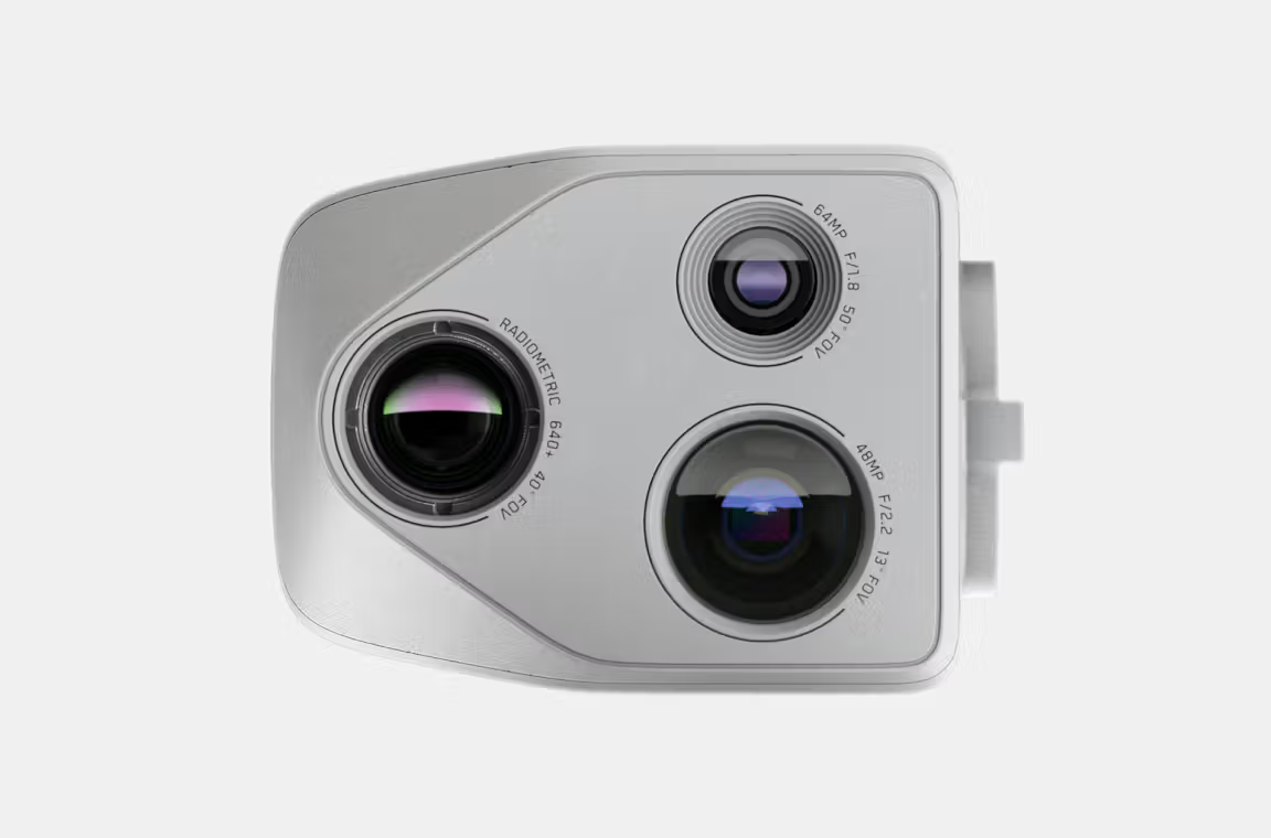
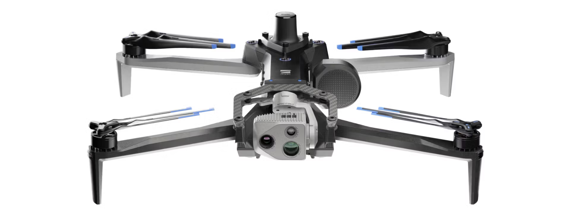
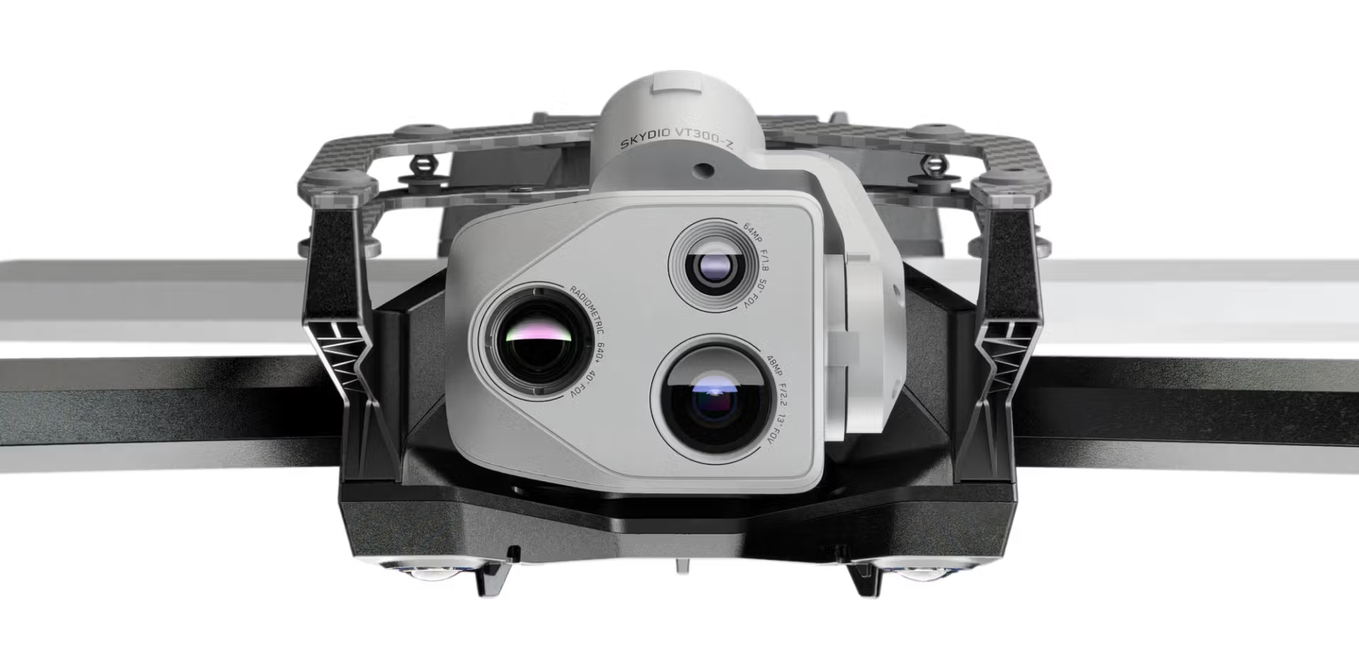
VT300-Z
| Feature | Narrow Camera | Telephoto Camera | Radiometric Thermal Camera |
|---|---|---|---|
| Focal Length (eq.) | 46 mm | 190 mm | 60 mm |
| Resolution | 64 MP | 48 MP | 640 x 512 px |
| Aperture | f/1.8 | f/2.2 | – |
| Field of View | 50° | 13° | 41° |
| Thermal Sensitivity | – | – | <30 mK |
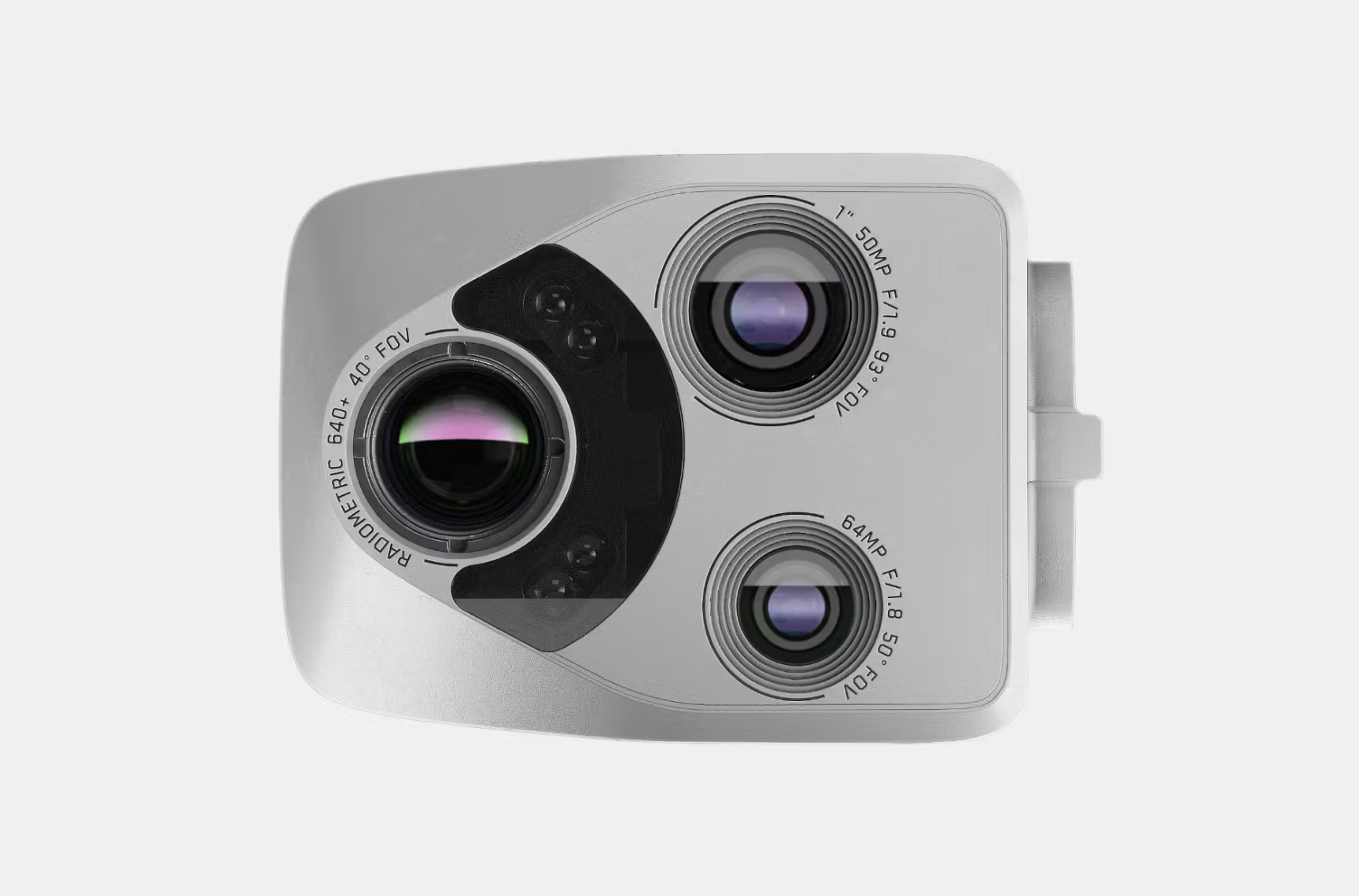
VT300-L
| Feature | Narrow Camera | 1″ Wide Camera | Radiometric Thermal Camera |
|---|---|---|---|
| Focal Length (eq.) | 46 mm | 20 mm | 60 mm |
| Resolution | 64 MP | 50 MP | 640 x 512 px |
| Aperture | f/1.8 | f/1.95 | – |
| Field of View | 50° | 93° | 41° |
| Thermal Sensitivity | – | – | <30 mK |
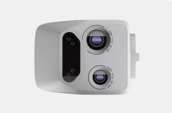
V100-L
| Feature | Narrow Camera | 1″ Wide Camera | Flashlight |
|---|---|---|---|
| Focal Length (eq.) | 46 mm | 20 mm | – |
| Resolution | 64 MP | 50 MP | – |
| Aperture | f/1.8 | f/1.95 | – |
| Field of View | 50° | 93° | – |
| Flashlight Brightness | – | – | 22 lux at 3 meters |
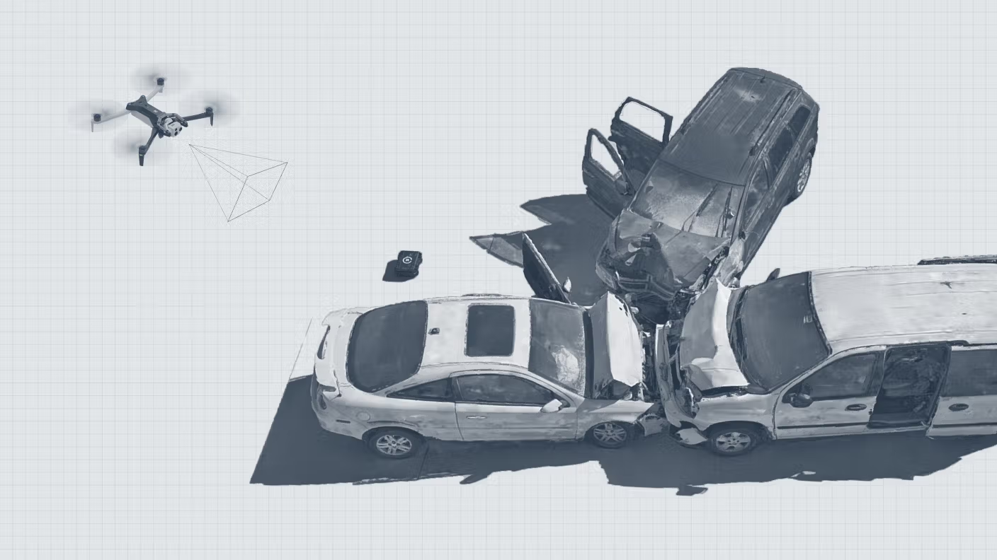
Capture precise details from afar
The VT300-Z sensor package features a telephoto camera that allows you to identify objects, vehicles, and people the moment they appear in your field of view, providing the visual clarity needed to make swift and informed decisions
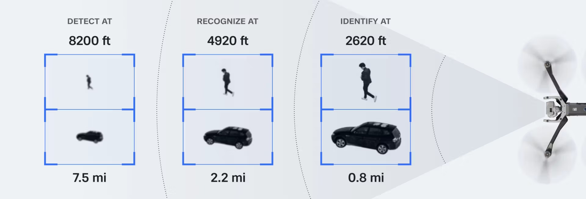
Put the entire scene in focus for mid-distance shots
Detect a 0.1 mm crack in concrete at 1m under a bridge, in low light
Read a license plate from 800 feet
Identify the severity of defects and small details like loosening bolts
Unmatched thermal imaging capabilities of Skydio X10
The Skydio X10 is the first drone to feature a Teledyne FLIR Boson+ sensor, providing superior thermal imaging quality. With a resolution of 640×512 and enhanced sensitivity down to <=30mK, the X10 ensures more precise radiometric measurements, anytime and anywhere.
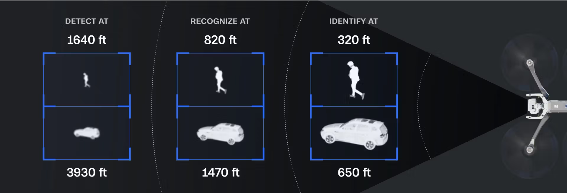
Exceptional thermal sensitivity
The Boson+ sensor offers 40% greater sensitivity compared to other thermal units available on the market.
Unrivaled image clarity
With a 640×512 thermal resolution, radiometry, and advanced AGC, it delivers the clearest thermal imagery.
Crisper, more detailed visuals
Onboard image enhancement algorithms refine distant objects and improve overall image quality, making interpretation easier.
Detect temperature differences even on a hot day
Detect a person on a roof in complete darkness
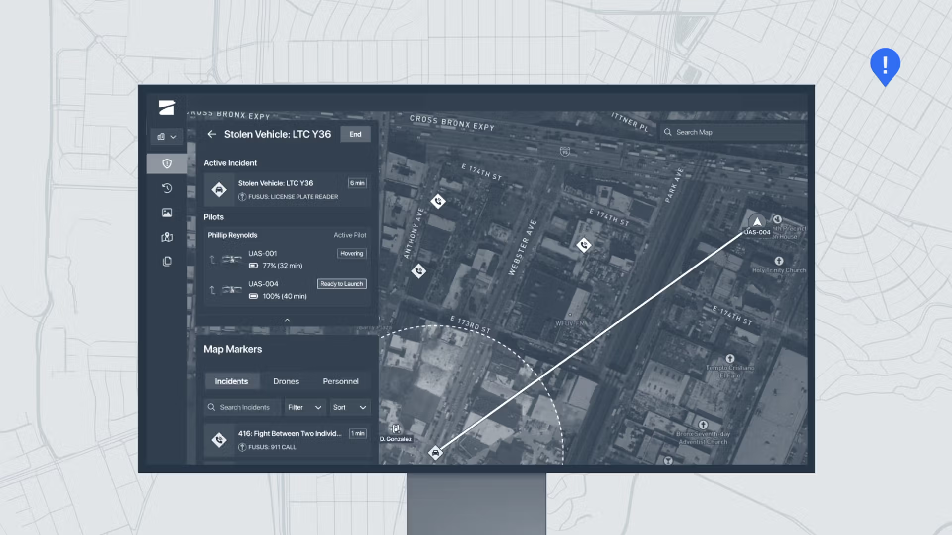
Effortless Flight Operations
Handle complex missions with confidence, even in GPS-denied or high EMI environments. Advanced AI flight assistance and obstacle avoidance remove the need for a specialist—whether you’re flying in the field or remotely from miles away.
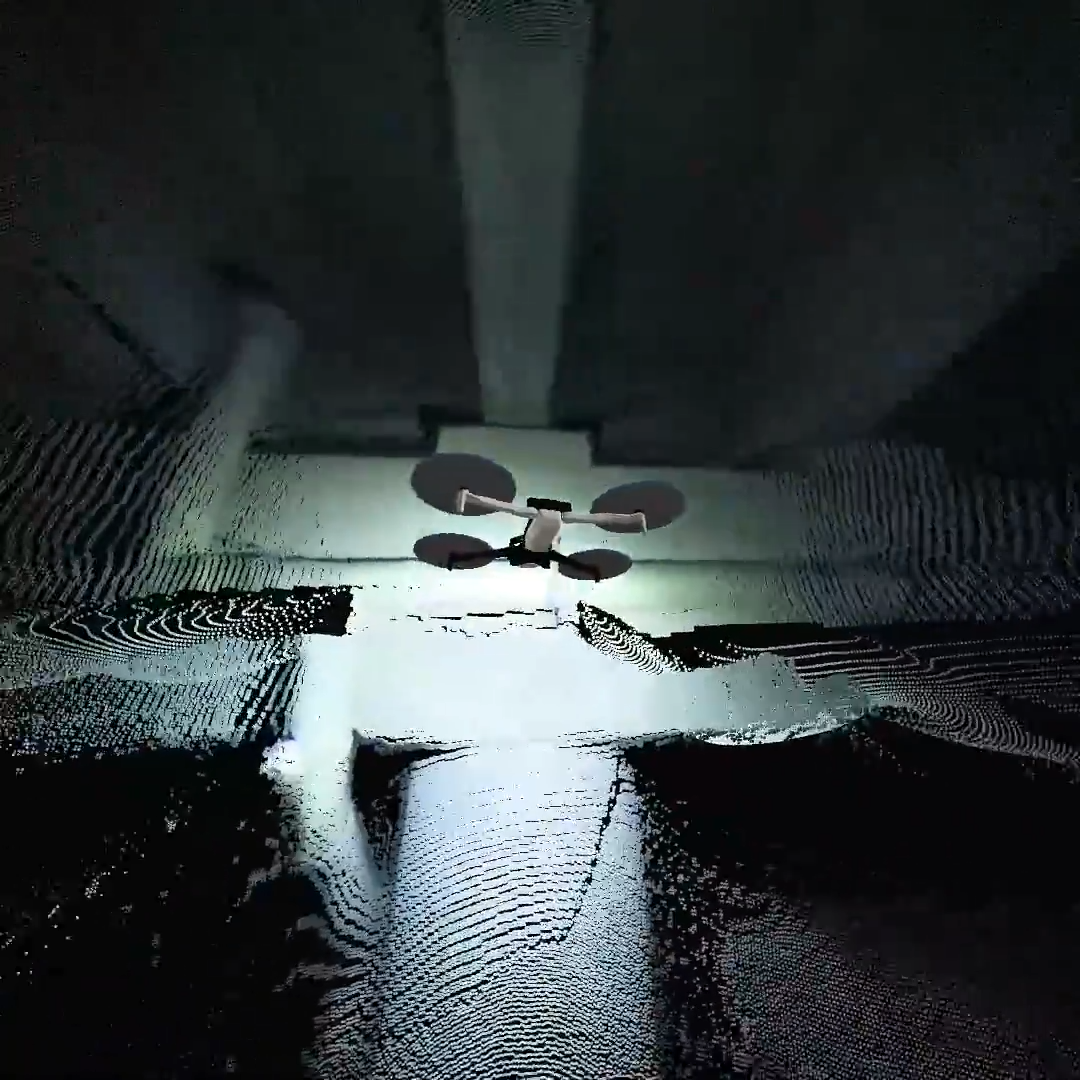
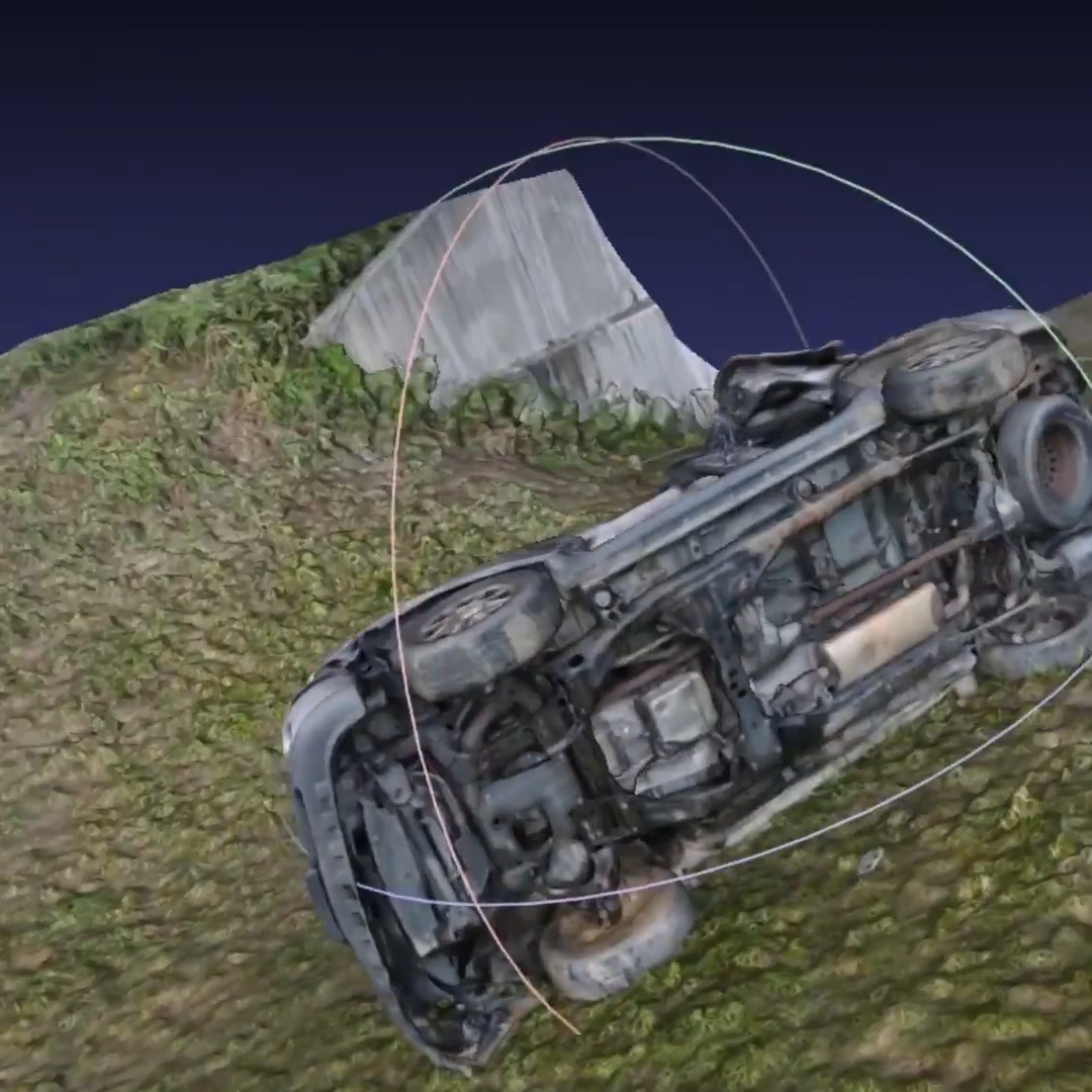
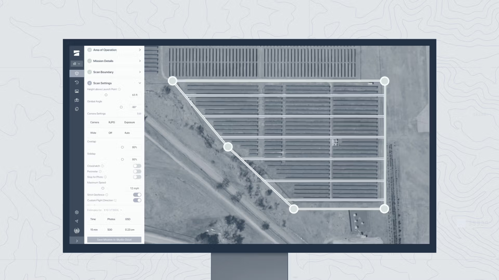
Streamline Complex Missions
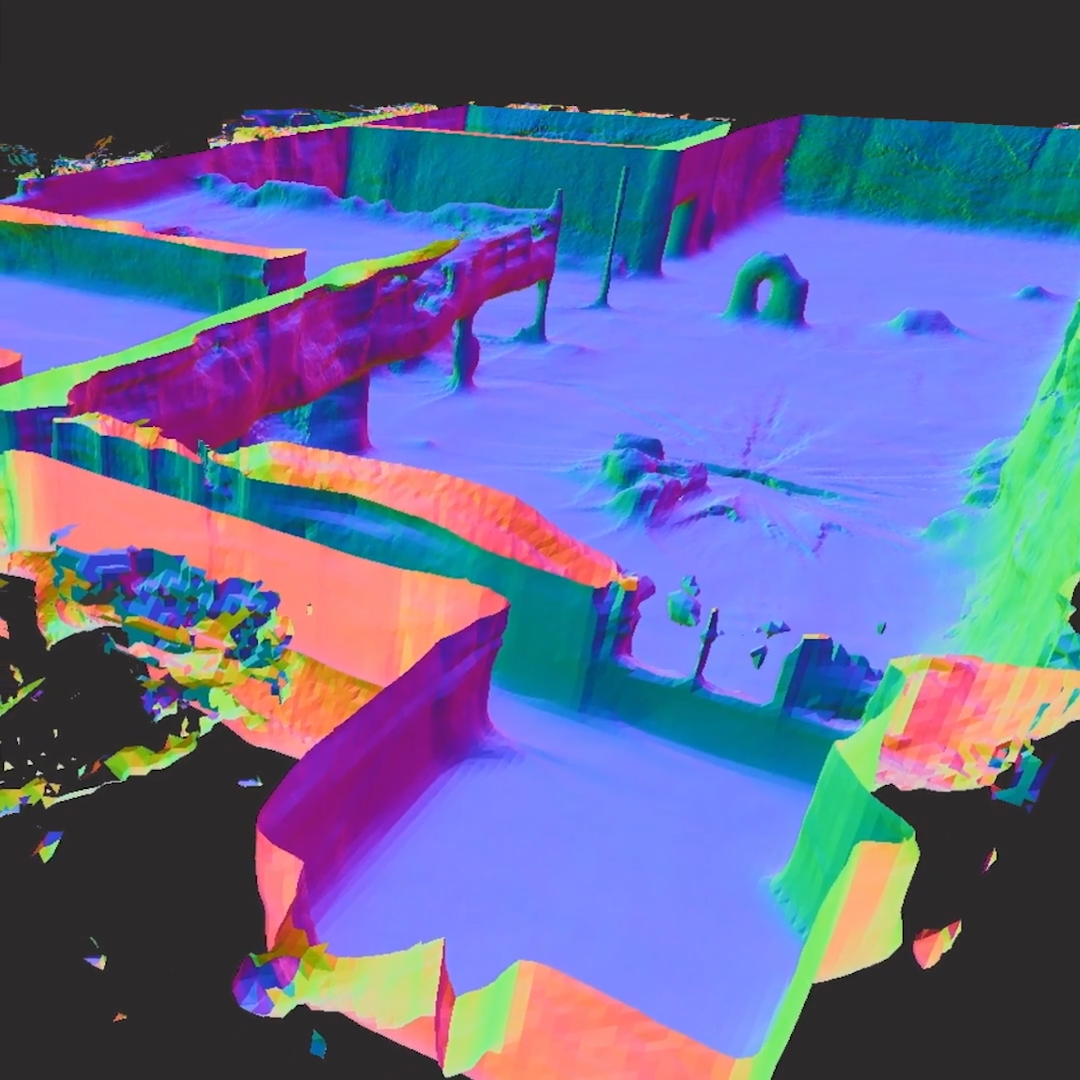
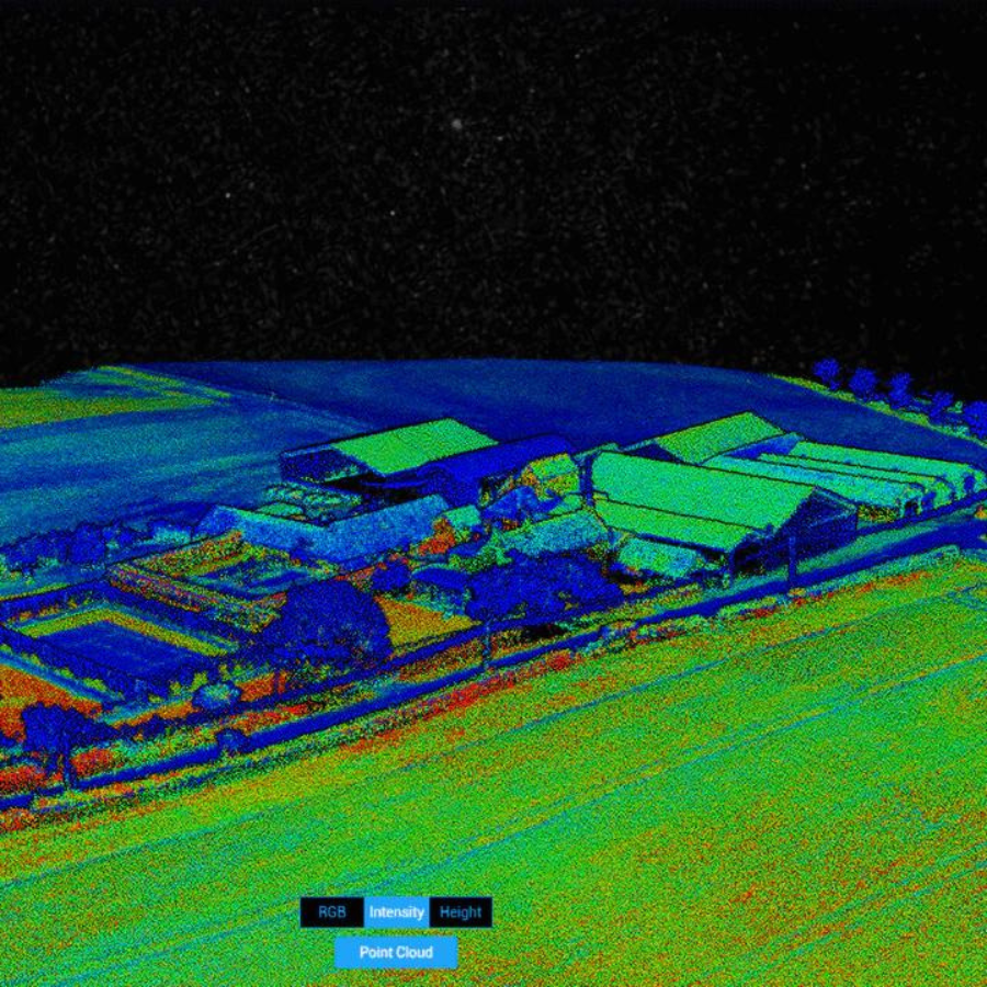
Automate inspections with the Spatial AI Engine, which analyzes targets with precision. Create 2D maps and 3D models in real time, or export data seamlessly to Pix4D, Bentley iTwin Capture, gNext, DroneDeploy, or ESRI SiteScan.
Evolving Intelligence
Equipped with powerful computing, the Skydio X10’s AI capabilities continually improve. Its data capture and synthesis features evolve over time, ensuring smarter performance with every mission.
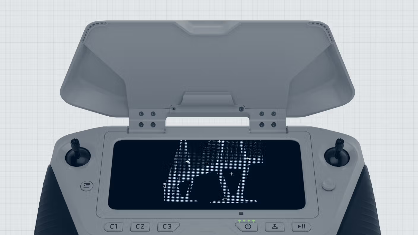
Master control with ease
Fly however you want with Skydio X10
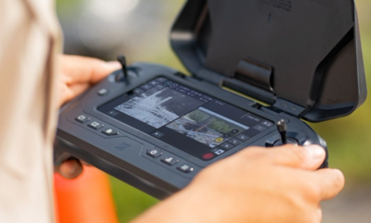
Fly with a controller.
Plan, execute, and review missions with the Skydio Controller and Flight Deck for optimized precision.
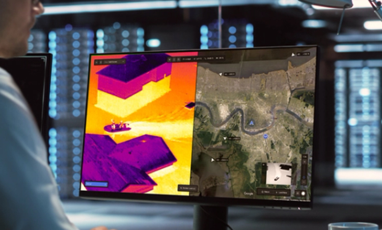
Fly through a browser.
Control your drone remotely with Skydio Remote Ops or DFR Command, accessing real-time views anywhere.
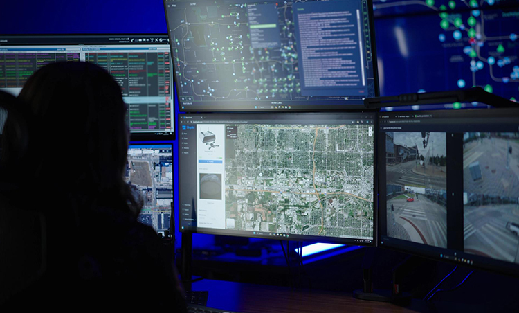
Switch to a remote operator.
Transfer control to an offsite pilot using Skydio Remote Ops or DFR Command seamlessly.
Fly wherever you need

Fly with a local connection
Operate up to 7.5 miles using Skydio Connect SL, a robust direct link from controller to drone. Stay connected in congested areas and fly beyond visual line-of-sight effortlessly.
Extend your range with 5G
Skydio Connect 5G provides seamless coverage through cellular networks. Transition smoothly between point-to-point and cellular links, or pilot via browser with Remote Ops or DFR Command.

Stay connected in contested environments.
Skydio Connect MH ensures reliable performance with AES-256 encryption. Global frequency support and in-flight channel switching keep you connected in any condition.
Integrated apps
So work just flows
Capture 2D/3D models in the field
View 2D/3D models in real time
Start, operate and grow DFR programs
Automate your work from anywhere
FAQ's
1. What is the Skydio X10 designed for?
The Skydio X10 is built for enterprise-grade inspections, public safety, infrastructure monitoring, and search & rescue, with advanced autonomy and modular imaging.
2. What are the main camera options available on the X10?
The Skydio X10 offers modular payloads with:
-
A 64MP narrow telephoto camera
-
A 50MP wide-angle camera
-
A 640×512 FLIR Boson+ thermal camera
These can be swapped based on mission needs.
3. How long can the X10 fly on a single battery?
The drone offers up to 40 minutes of flight time, depending on payload, weather, and mission profile.
4. What is the maximum control range of the Skydio X10?
The X10 can operate at a maximum range of up to 12 km, offering wide-area coverage for mapping and inspection tasks.


There are no reviews yet.