Call Us : 07965209652
Our highly trained pilots expertly fly drones, ensuring safe and efficient data collection. Furthermore, we implement optimized flight plans to guarantee accurate and reliable data every time.
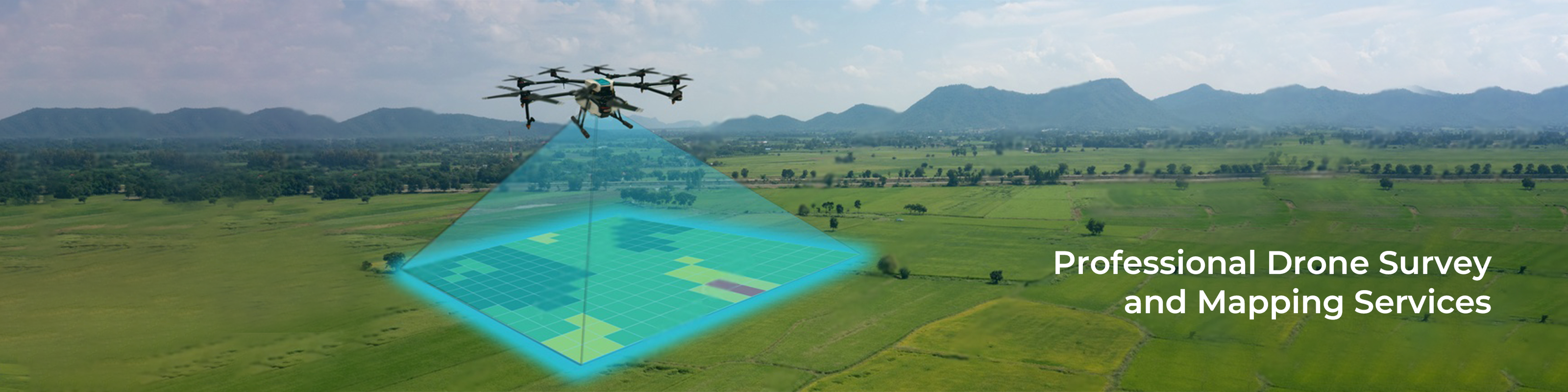
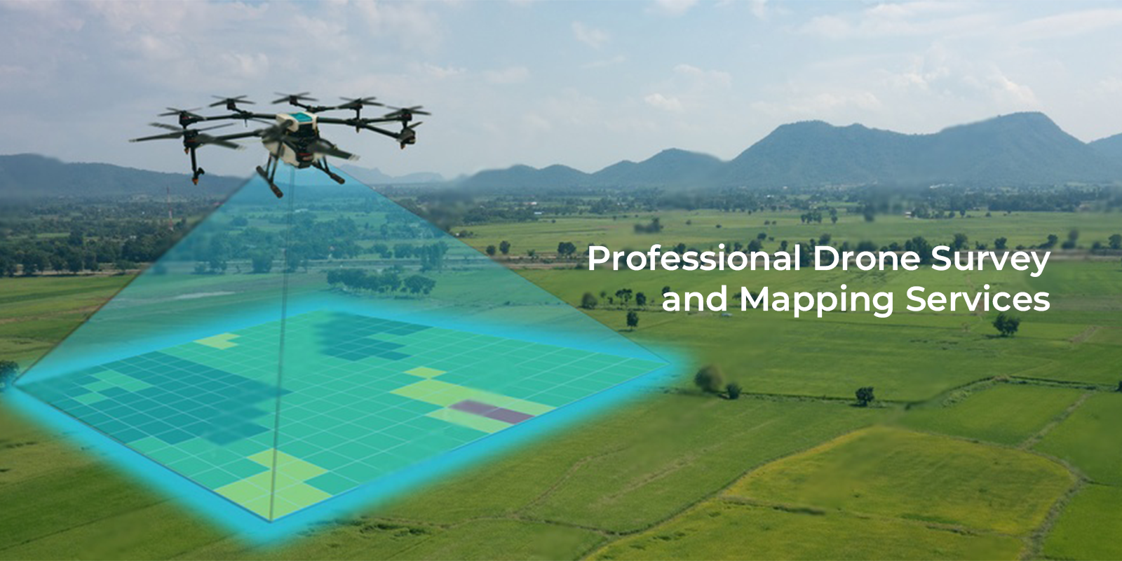
At Xboom, we deliver drone survey and mapping services using the latest UAVs equipped with advanced cameras and sensors. As a result, we capture precise data and generate detailed maps of any location quickly and efficiently. Furthermore, our drone technology transforms how industries like construction, mining, and agriculture conduct surveys and gather insights. Thus, businesses experience improved efficiency, reduced costs, and enhanced safety over traditional methods. In addition, our drones collect high-resolution imagery and accurate data at remarkable speed. This enables teams to make faster, data-driven decisions with confidence. When you partner with Xboom, you gain access to premium drone mapping solutions. Consequently, your business unlocks its full potential through cutting-edge aerial intelligence.
2. Pilot Expertise and Flight Planning
3.Quality Control
4. Standards and Commitment


The data collection process is critical for ensuring that accurate and reliable data is captured, and it is important to have experienced pilots and the right equipment for the job. At Xboom, we use the latest technologies and equipment to ensure that the data we collect is of the highest quality.
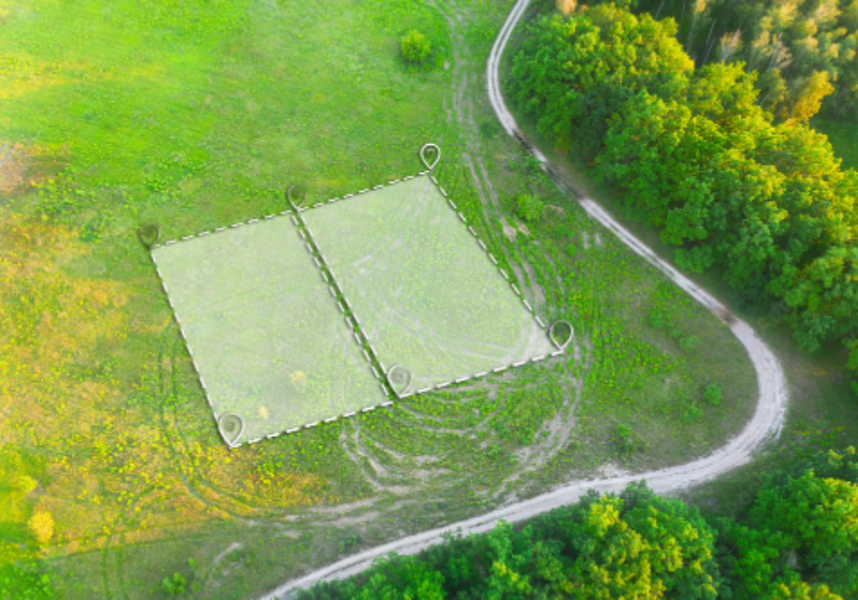
The first step in the process involves planning the survey or mapping project. This includes defining the area to be surveyed, identifying potential obstacles or hazards, and selecting the right equipment and software. During planning, our expert team at Xboom collaborates closely with clients to understand their specific needs. We then create a detailed plan outlining the project scope, chosen equipment and software, and any challenges to address. This step is crucial for project success and essential to delivering accurate, reliable data.
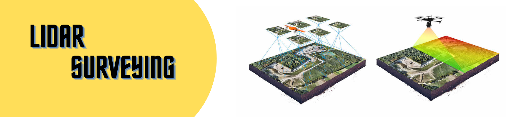
The drone flies over the area to be surveyed or mapped, using specialized cameras, sensors, and software to gather data. This data can include aerial images, videos, 3D models, and other formats depending on the survey or mapping type. Our team of pilots at Xboom is fully trained and experienced in drone operation. They use their expertise to ensure safe and efficient data collection. We deploy state-of-the-art drones from top manufacturers like DJI and Autel to capture high-quality data that meets client needs.
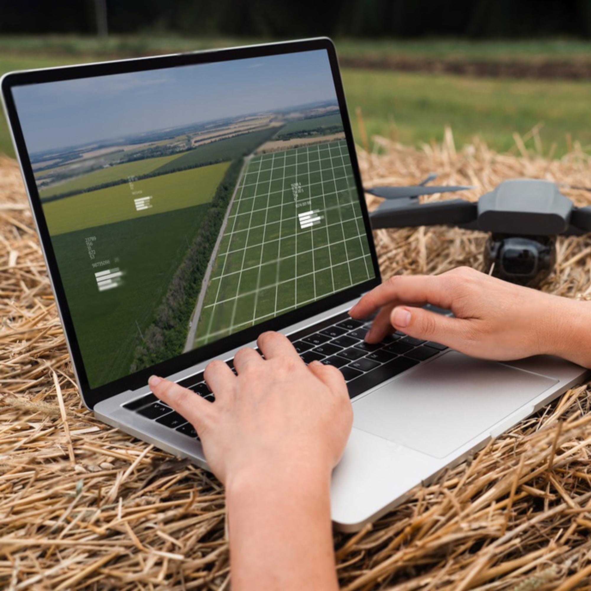
After collecting the data, we analyze it to extract valuable insights. This analysis includes creating detailed maps, 3D models, and other data products for various applications. We use specialized software like Pix4D, DJI Terra, and other advanced tools to process and analyze the data effectively. This critical step transforms raw data into useful information. Tasks include generating digital terrain models, calculating volume measurements, and identifying specific features or key areas of interest.
This report will include all collected data along with relevant information and performed analyses. It can be delivered in various formats such as PDF, Excel, or GIS files. The report will be user-friendly, easy to understand, and tailored specifically to the client’s needs. Additionally, it will feature recommendations and suggestions for further action based on the survey or mapping results. These may include maintenance plans, monitoring schedules, and other strategic advice to help clients make informed decisions and enhance their operations.
Based on the report, the client can take further action like making decisions, planning and maintenance, monitoring, etc. The report will provide the client with the data they need to make informed decisions and improve their operations. For example, if the survey or mapping project was conducted for a construction site, the client may use the data to plan and execute the construction process more efficiently. Similarly, if the project was conducted for an agricultural field, the client may use the data to monitor crop health, and plan irrigation and fertilization. The report may also include recommendations for monitoring and maintenance, which can help the client to identify potential issues and take action to prevent them before they become major problems.
Using drone survey and mapping can bring a wide range of benefits to a business or industry. Drones provide a cost-effective and efficient way to collect data and create 3D models and maps, which can be used for a variety of applications such as construction, mining, agriculture, and more.
One of the major benefits of using drone survey and mapping is the ability to collect data from multiple viewpoints and at high resolution, which ensures high accuracy and precision. This data can be used to create detailed 3D models and maps, which can be used for a variety of purposes such as planning, design, and monitoring.
Another benefit is that drones can be used to access difficult-to-reach areas, such as offshore oil rigs and platforms, bridges, and transmission lines, that would be impossible or dangerous for humans to access. Drones can also be used for security and surveillance, which can help to improve safety and security in a variety of settings.
Additionally, using drone survey and mapping can reduce the need for traditional survey methods, which can be time-consuming and costly. Drones can cover large areas in a short period of time, and the data they collect can be used to create 3D models and maps that can be used for a variety of purposes.
In summary, Xboom’s drone services can provide businesses and industries with accurate, efficient and cost-effective data collection, and mapping services that can be used for a wide range of applications. Whether it is for construction, mining, agriculture, or any other industry, our drone services can help you unlock the full potential of your business.

© 2015-2023 Xboom Utilities
