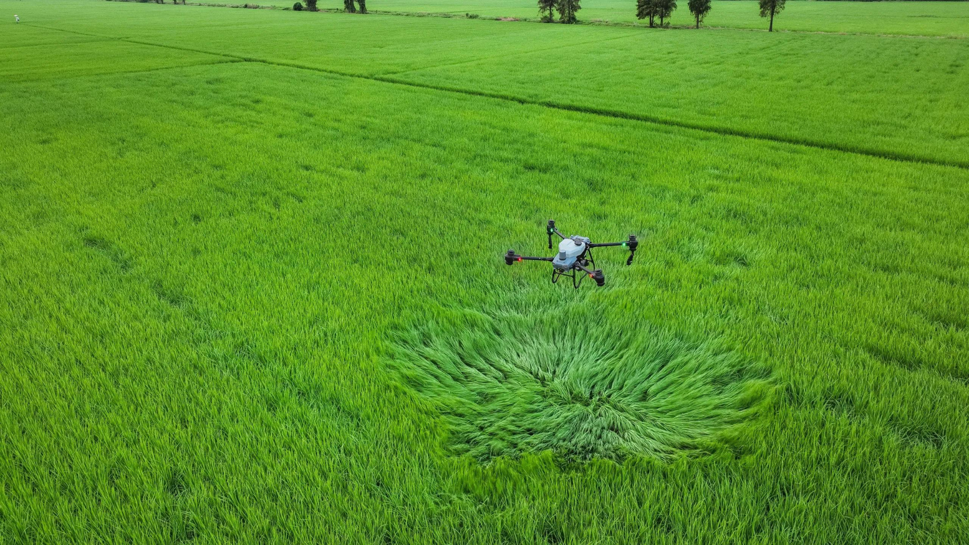
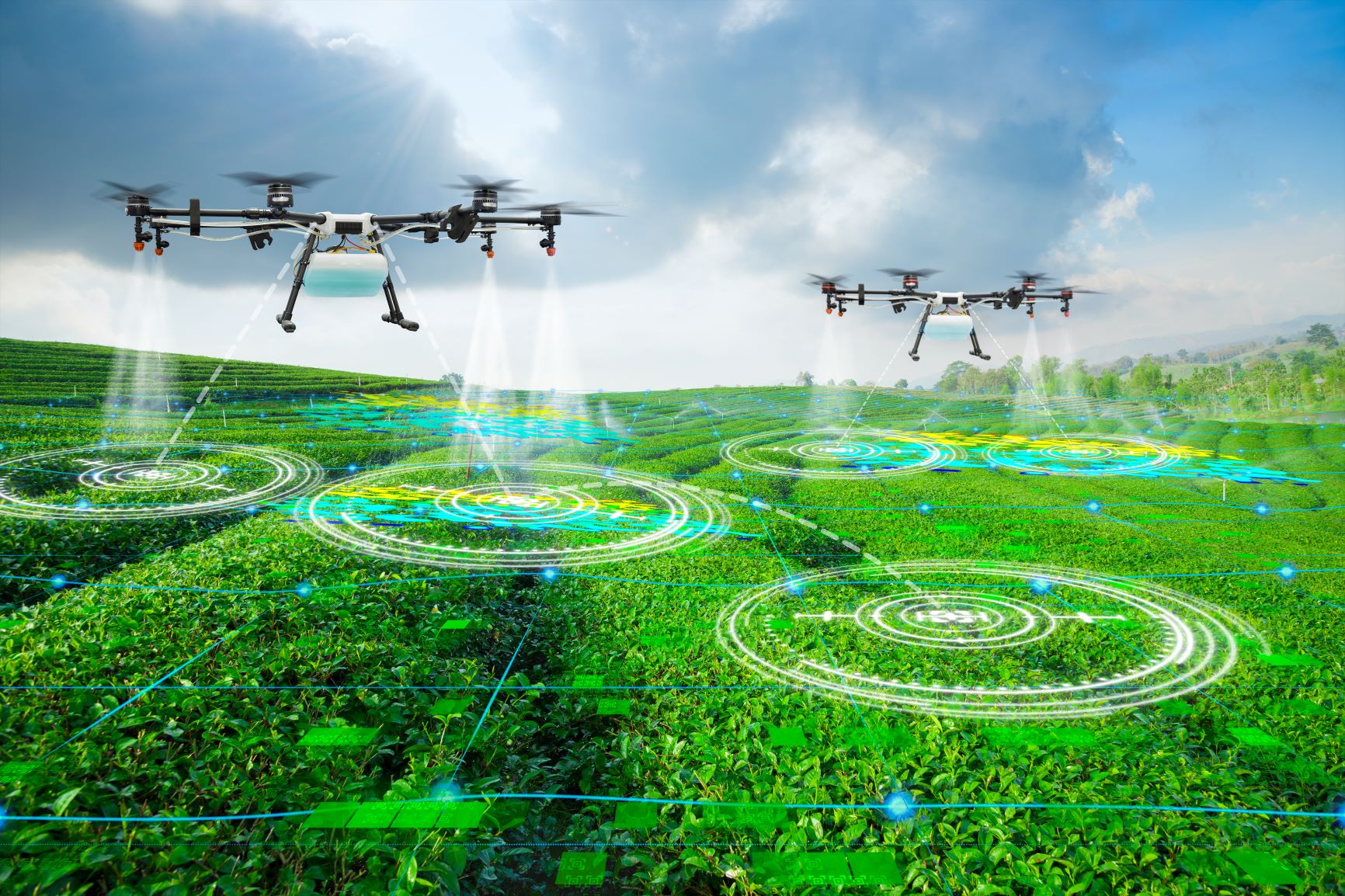
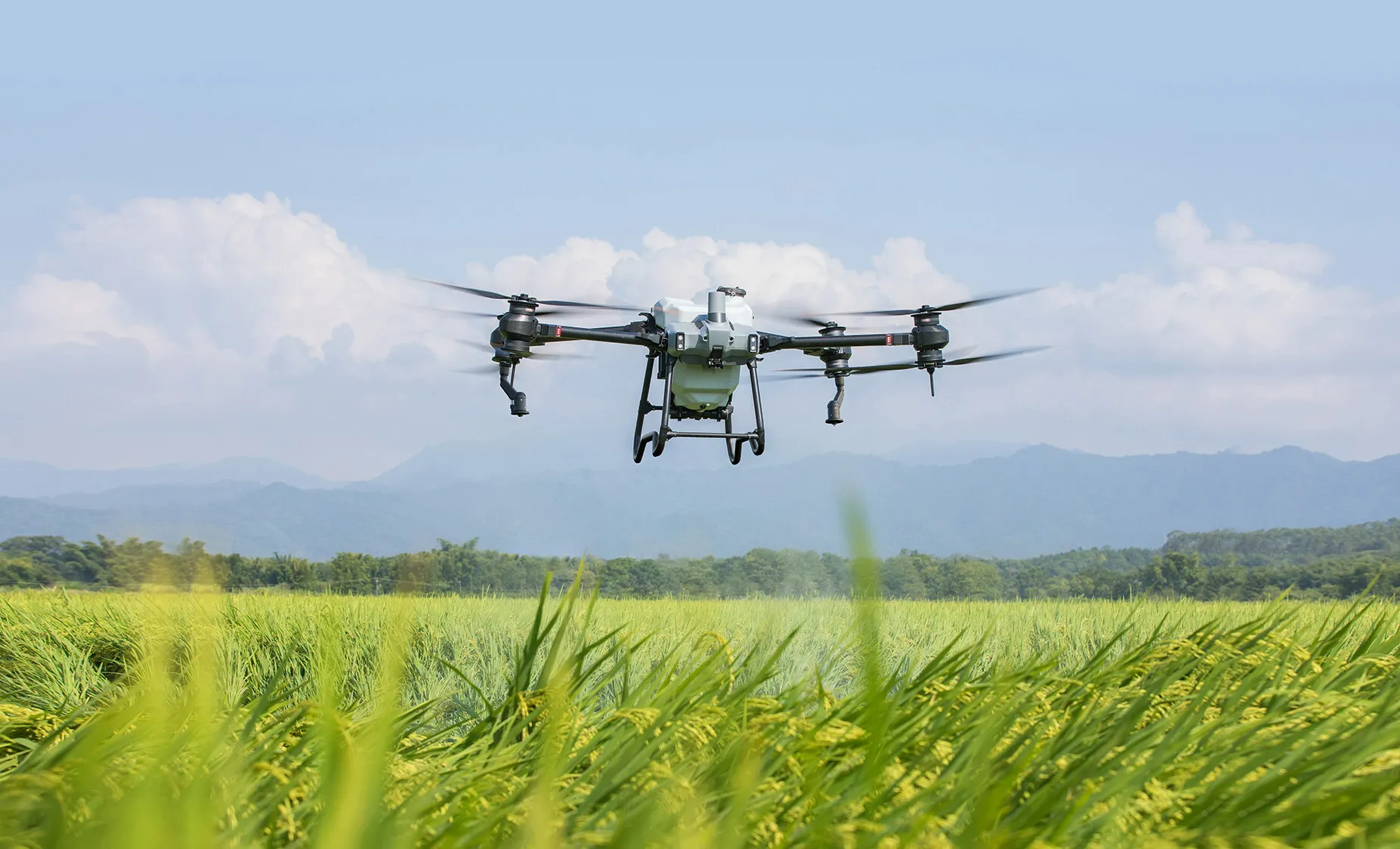
Pesticide spraying / Irrigation:
- Drones are now widely used in farming for pesticide spraying and crop irrigation.
- They aim to improve both efficiency and accuracy.
- Additionally, drones use sensors to detect pests and apply targeted treatments.
- Moreover, drones carry mapping tools and GPS for precise pesticide and herbicide application.
- They also help ensure even coverage across all farming areas.
- Furthermore, drones irrigate crops by delivering water directly and efficiently.
- They reach hard-to-access zones and deliver water precisely to plants.
- As a result, drones increase productivity while reducing water and pesticide waste.
- Overall, drones offer a safe, efficient, and cost-effective agricultural solution.
Monitoring:
- Drones monitor fields like agriculture, construction, environmental science, and security with speed and accuracy.
- They carry cameras and sensors to collect high-resolution images and real-time video footage.
- Additionally, they gather data on temperature, humidity, air quality, and other environmental conditions.
- Farmers track crop conditions throughout the season using drone visuals and metrics.
- Construction teams observe progress daily by deploying drones over project sites.
- Moreover, drones detect visible changes or trends quickly across large or remote areas.
- They spot crop stress, disease, or possible hazards before they become serious problems.
- Teams respond faster because drones highlight early signs of issues.
- Therefore, drones offer fast, efficient, and reliable tools for active monitoring.
Aerial Mapping:
- Drones support aerial mapping for various applications across multiple industries.
- They create topographic maps to guide planning and development projects.
- Additionally, drones carry cameras and sensors to capture high-resolution images and terrain data.
- They gather details like elevation, slope, and aspect during each flight.
- Teams use this data to map hills, valleys, waterways, and other terrain features accurately.
- Moreover, drones track land use and cover, detecting changes or emerging trends.
- They help land managers make informed decisions based on current and past data.
- Furthermore, drones inspect roads, bridges, and pipelines to identify potential issues early.
- Overall, drones deliver a safe, efficient, and cost-effective aerial mapping solution.
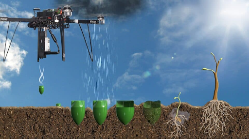
Seed sowing:
- Drones are being used for seed sowing in farming and agriculture to improve efficiency and accuracy
- Drones can be equipped with specialized seed dispersal systems for precise and controlled seed application
- Drones can reach hard-to-reach areas of a field, such as slopes and valleys
- Drones can reduce the amount of labour required for seed sowing by covering large areas quickly
- Drones are playing an increasingly important role in seed sowing, providing a safe, efficient, and cost-effective way to apply seeds to crops.