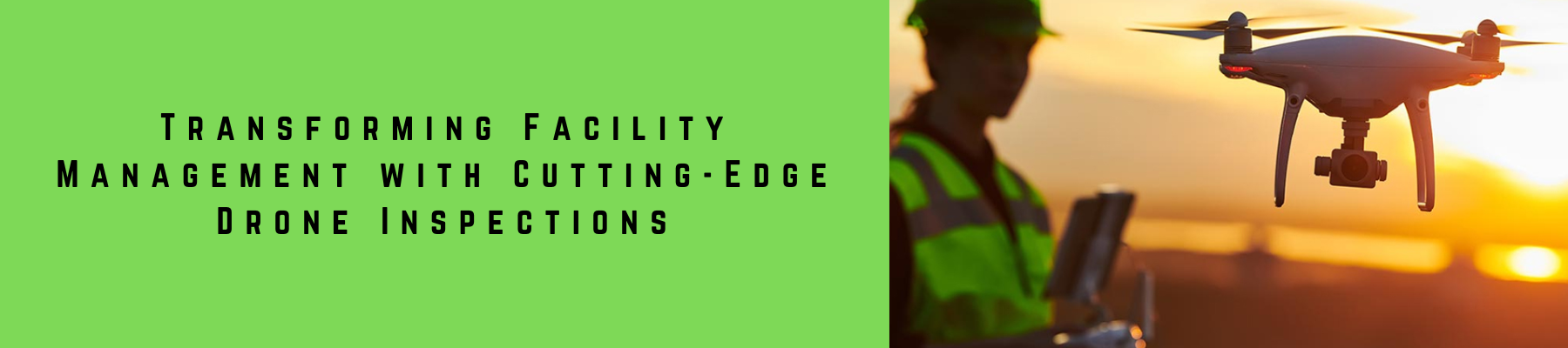
Revolutionizing Facility Management with Advanced Drone Technology
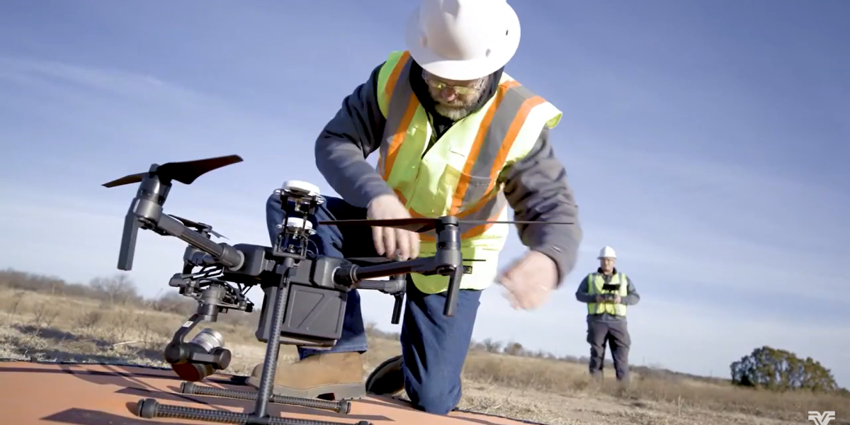
More people are turning to drone inspection and maintenance to ensure the security and integrity of educational facilities. Drones inspect roofs, walls, windows, and other structural elements, along with the surrounding grounds. Equipped with high-resolution cameras and sensors, drones capture detailed data efficiently.
Compared to traditional methods, drones offer many advantages. They quickly cover large areas, providing a thorough overview in less time. Additionally, drones access hazardous or hard-to-reach places like rooftops and tall buildings safely.
Machine learning algorithms analyze the drone data to detect issues or potential risks that human inspectors might miss. This technology reduces downtime and helps schools address problems promptly, protecting faculty and students.
Drones also lower costs and minimize environmental impact. They require fewer personnel and resources than conventional methods. Moreover, drones produce less noise and air pollution, making them eco-friendly.
Overall, drones provide an effective solution for inspecting and maintaining educational facilities. As technology evolves, we expect even more innovative tools to transform how schools manage their buildings and grounds.
Maximizing the Accuracy of Drone Survey Data with Xboom’s Advanced Techniques
- Equipment and Technology
- At Xboom, we use the latest equipment and software to ensure that the data we collect is of the highest quality.
- Our drones are equipped with high-resolution cameras and sensors that can capture detailed images and data.
- We use advanced post-processing software like Pix4D, DJI Terra and other to create highly accurate and precise 3D models and maps.
2. Pilot Expertise and Flight Planning
- Our team of pilots are highly trained and experienced in flying drones, and they use their expertise to ensure that the data collection is completed safely and efficiently.
- We use a flight plan that is optimized for data collection, which ensures that the data we collect is accurate and reliable.
3. Quality Control
- Additionally, we use Quality Control checks and procedures to verify the accuracy and precision of the data we collect.
- We use Ground Control Points (GCPs) and check points to ensure the accuracy of the data.
- Standards and Commitment
- At Xboom, we strive to meet and exceed industry standards in terms of accuracy and precision.
- Our Commitment to providing high-quality, accurate and precise data collection services is at the forefront of our business.

