

Unlock the Full Potential of Your Offshore Operations with Innovative Drone Solutions for Inspection and Maintenance
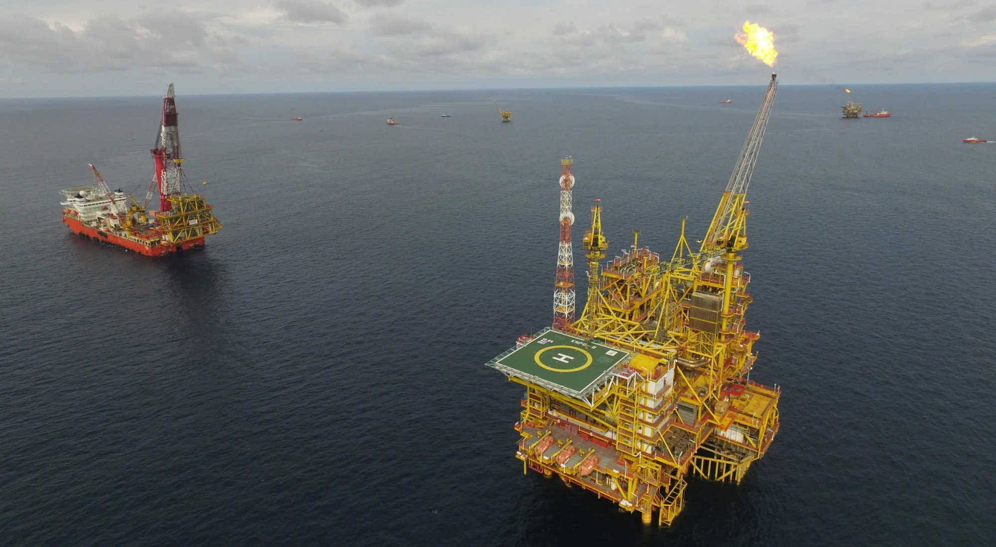
Drone-assisted inspection and maintenance of offshore oil rigs and platforms has become increasingly popular. Drones equipped with high-definition cameras, thermal imaging sensors, and advanced technology thoroughly inspect offshore infrastructure and monitor maintenance activities.
Compared to traditional methods, drones offer significant advantages. They quickly cover large areas, providing a comprehensive view of offshore structures in less time. Additionally, drones safely access hazardous or hard-to-reach places, such as rig tops and platforms.
Machine learning analyzes drone-collected data to detect issues or potential concerns that human inspectors may miss. This approach reduces downtime and enhances worker and environmental safety, allowing oil and gas companies to address problems promptly.
Drones lower inspection and maintenance costs while minimizing environmental impact. They require fewer personnel and resources than conventional methods. Moreover, drones emit less noise and air pollution, making them eco-friendly.
Overall, drones provide a promising solution for inspecting and maintaining offshore oil rigs and platforms. As technology advances, expect more innovations to transform how the industry manages offshore infrastructure.
Maximizing the Accuracy of Drone Survey Data with Xboom’s Advanced Techniques
- Equipment and Technology
- At Xboom, we use the latest equipment and software to ensure that the data we collect is of the highest quality.
- Our drones are equipped with high-resolution cameras and sensors that can capture detailed images and data.
- We use advanced post-processing software like Pix4D, DJI Terra and other to create highly accurate and precise 3D models and maps.
2. Pilot Expertise and Flight Planning
- Our team of pilots are highly trained and experienced in flying drones, and they use their expertise to ensure that the data collection is completed safely and efficiently.
- We use a flight plan that is optimized for data collection, which ensures that the data we collect is accurate and reliable.
3. Quality Control
- Additionally, we use Quality Control checks and procedures to verify the accuracy and precision of the data we collect.
- We use Ground Control Points (GCPs) and check points to ensure the accuracy of the data.
- Standards and Commitment
- At Xboom, we strive to meet and exceed industry standards in terms of accuracy and precision.
- Our Commitment to providing high-quality, accurate and precise data collection services is at the forefront of our business.
