


Description
Take a Closer Look at the DJI RTK Module for Mavic 3 Enterprise Series
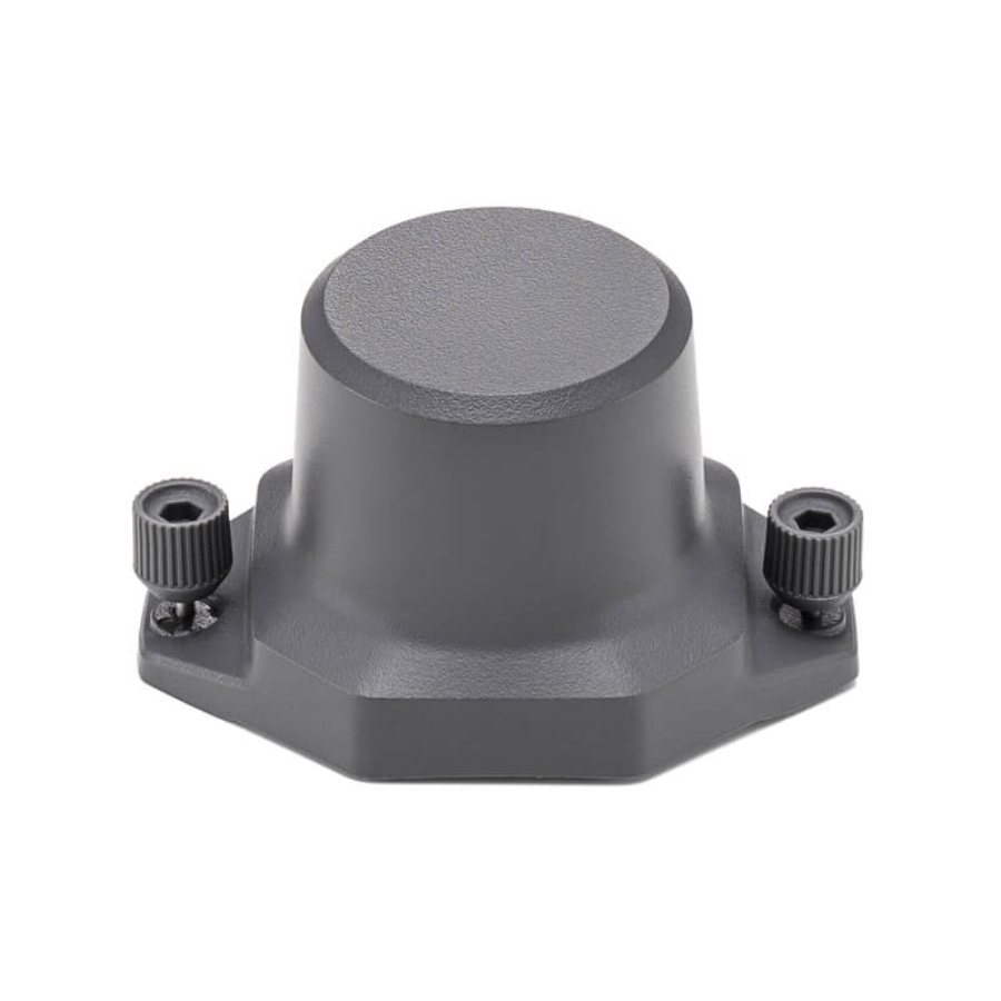
Achieve next-level precision with the DJI RTK Module for Mavic 3 Enterprise Series — a must-have accessory for professionals who demand accuracy, reliability, and efficiency in their drone operations. This compact yet powerful module delivers centimeter-level Real-Time Kinematic (RTK) positioning, enabling highly accurate aerial mapping, surveying, and inspection workflows.
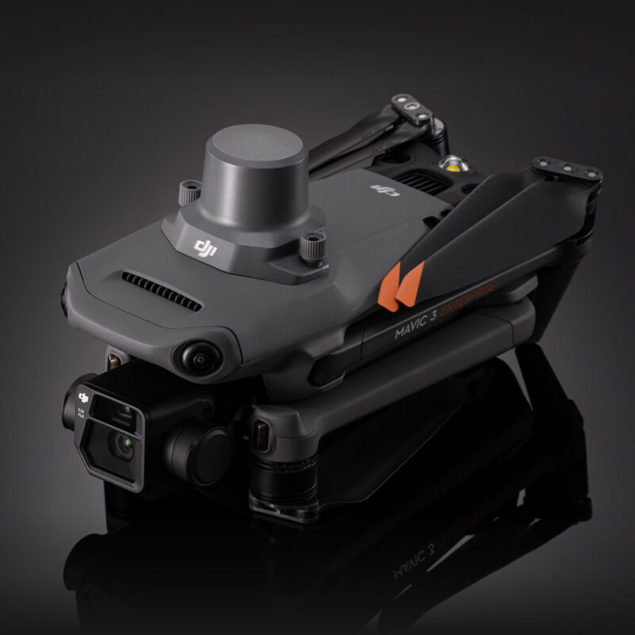
Seamlessly integrated with the DJI Mavic 3 Enterprise Series, the RTK module is built for plug-and-play convenience, thanks to its USB-C interface and lightweight, compact design. Its low power consumption ensures extended operation time, making it ideal for long-duration and mission-critical tasks.
The module supports a wide array of satellite navigation systems, including GPS, BDS, GLONASS, Galileo, and QZSS, ensuring robust signal reception and performance even in challenging environments. Whether you’re conducting land surveys, infrastructure inspections, or precision agriculture missions, the DJI RTK Module offers the accuracy and reliability required for professional-grade results.
Overview
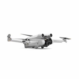
The DJI Mavic 3 Enterprise Series RTK Module is designed for use with DJI Mavic 3 Enterprise Series drones. It delivers centimeter-level precision positioning when paired with Network RTK, Custom Network RTK, or the D-RTK 2 Mobile Station.
Highlights
Tips
For optimal positioning accuracy, use in open areas without buildings or other obstructions.
In The Box
RTK Module × 1
Specifications
| Parameter | Specification |
|---|---|
| Dimensions | 50.2 × 40.2 × 66.2 mm (L × W × H) |
| Weight | 24 ± 2 g |
| Interface | USB-C |
| Rated Power | Approximately 1.2 W |
| RTK Positioning Accuracy | RTK Fix – Horizontal: 1 cm + 1 ppmVertical: 1.5 cm + 1 ppm |
| Supported GNSS Systems | |
| GPS | L1C/A, L2C / L2P |
| BDS (BeiDou) | B1I, B2I |
| GLONASS (GLO) | G1, G2 |
| Galileo (GAL) | E1, E5b |
| QZSS | L1, L2 |
Compatibility
DJI Mavic 3 Enterprise Series drones
How Does The RTK Module Work?
The DJI Mavic 3 Enterprise Series RTK Module leverages advanced satellite navigation and ground-based technologies for pinpoint accuracy.
-
Satellite Signals: The module connects to multiple satellites, triangulating its position with exceptional precision.
-
Base Stations: By linking with a nearby base station positioned at a known location, the RTK system receives real-time correction data, greatly improving positional accuracy.
-
Post-Processing: Users can further refine data accuracy through post-processing, using specialized software to adjust and validate the recorded information.
Compatibility Of The DJI Mavic-3-Enterprise Series RTK Module
The Mavic 3 RTK integrates effortlessly with the DJI Mavic 3 Enterprise, offering plug-and-play installation, real-time centimeter-level positioning, and seamless compatibility with DJI Pilot. Perfect for surveying, inspections, and precision agriculture, it ensures future-proof performance with ongoing firmware support.
FAQ’s
FAQ's
1. What is the purpose of the DJI RTK Module?
The RTK (Real-Time Kinematic) module provides centimeter-level positioning accuracy, ideal for high-precision drone applications like surveying, mapping, and inspections.
2. Which drones are compatible with this RTK module?
It is specifically designed for use with the DJI Mavic 3 Enterprise Series, including models like Mavic 3E and Mavic 3T.
3. What GNSS systems does it support?
The module supports multiple satellite systems: GPS (L1C/A, L2C/L2P), BDS, GLONASS, Galileo, and QZSS, ensuring optimal positioning reliability and coverage.
4. What is the positioning accuracy with this RTK module?
When RTK fix is achieved, it offers horizontal accuracy of 1 cm + 1 ppm and vertical accuracy of 1.5 cm + 1 ppm.
5. Is the module lightweight and easy to install?
Yes, it weighs only 24±2 g and features a compact USB-C interface, making installation quick and hassle-free.


There are no reviews yet.