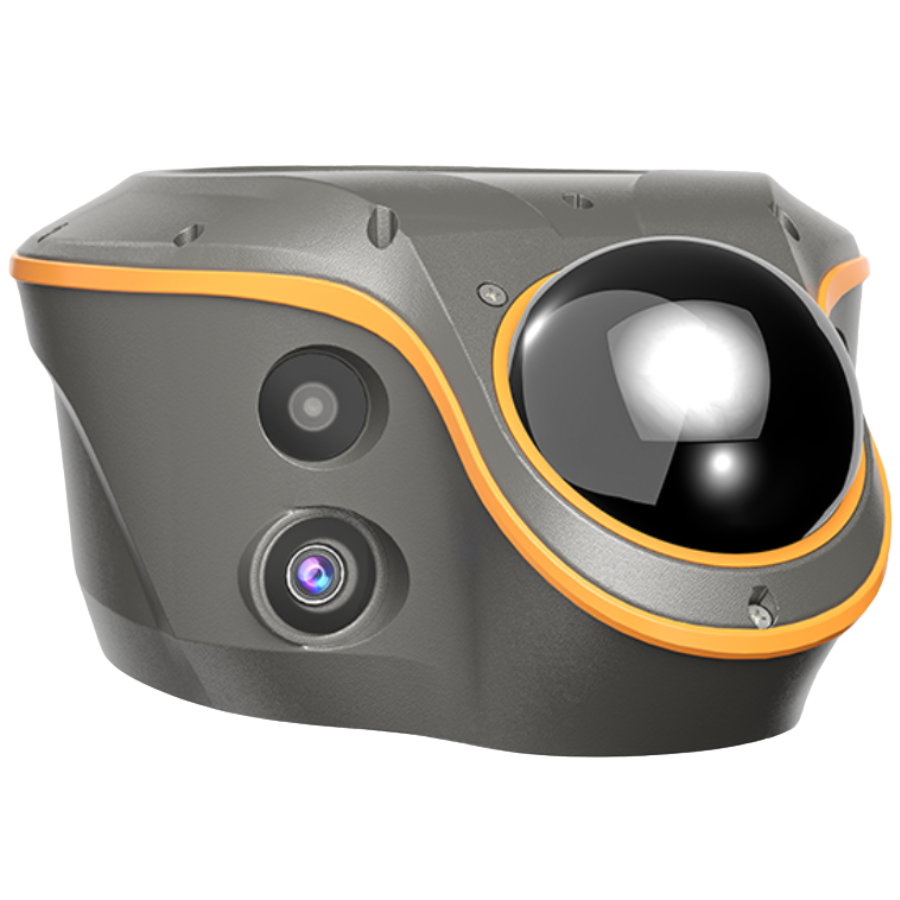
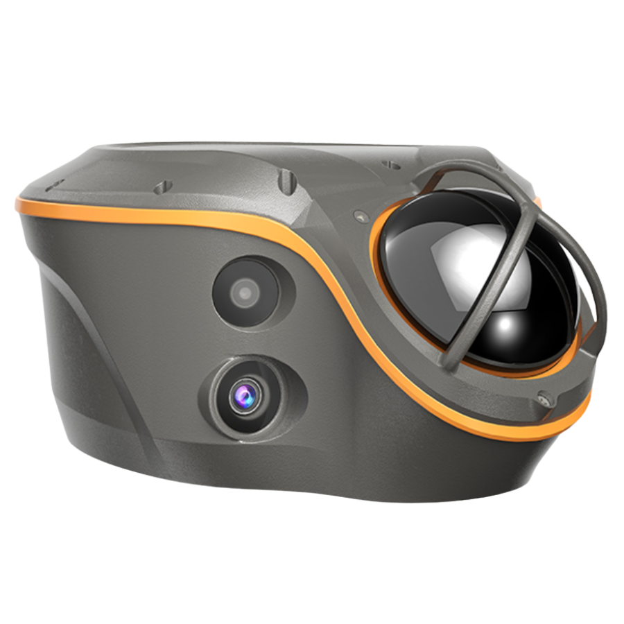
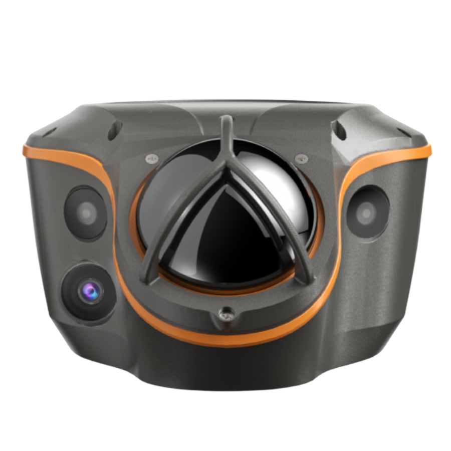
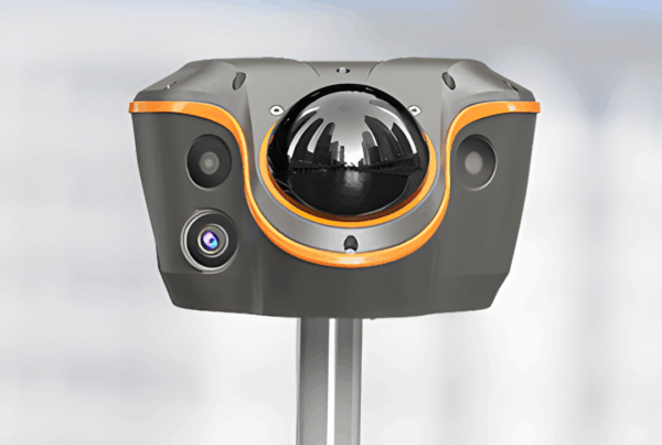
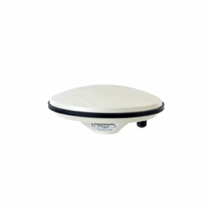
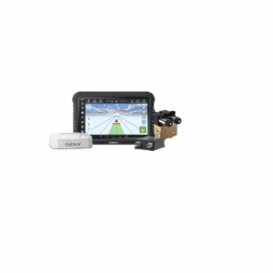
CHCNAV ViLi i100 Visual-LiDAR GNSS RTK Receiver with Consistent Accuracy in Obstruction
-
Flagship device that integrates GNSS RTK, LiDAR scanning and visual cameras in one compact receiver.
-
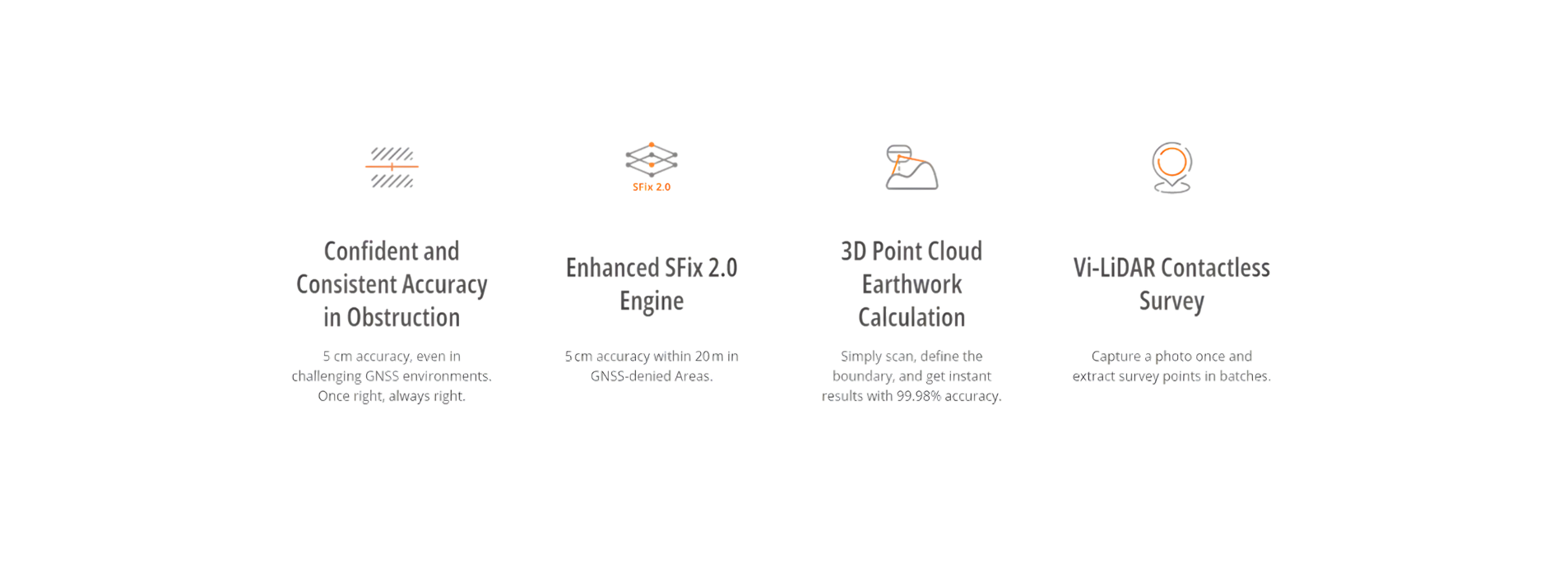
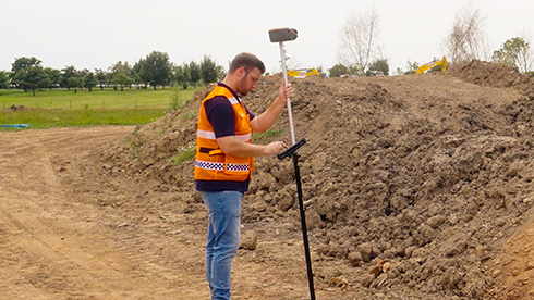
Designed to deliver centimetre-level accuracy (~5 cm) even in obstructed or GNSS-denied environments (e.g., under viaducts, near tall buildings, in forests).
-
Uses multi-sensor fusion: GNSS + IMU + visual cameras + LiDAR to filter multipath and reflection errors automatically.
-
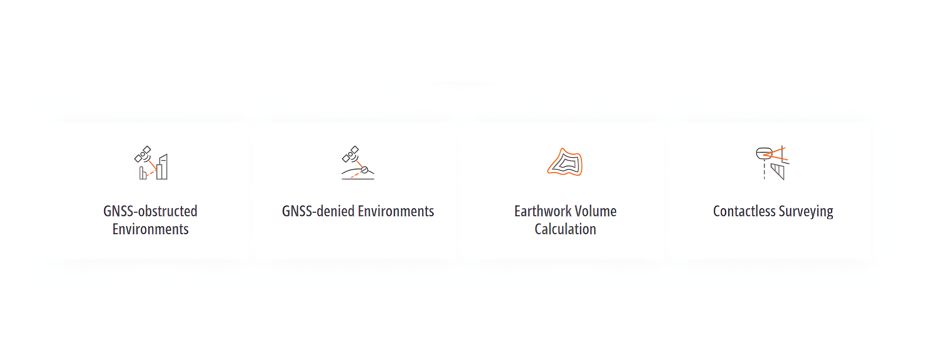
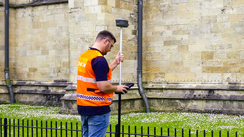
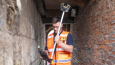
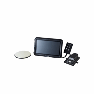
Enables contactless surveying and real-time 3D point-cloud earthwork volume calculations on-site.
-
Supports standard RTK modes (CORS, UHF base-rover, PPP) and provides visual/AR stake-out capabilities for efficient surveying workflows.
- Trusted dealerDirect manufacturer partnership
- Pan-India deliveryInsured shipping, all states
- Post-sale supportTraining + service included
What makes it work
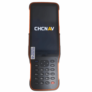
CHCNAV ViLi i100
Visual-LiDAR GNSS RTK Receiver
| Category | Specification |
|---|---|
| GNSS Channels & Signals | Full GNSS: GPS / GLONASS / Galileo / BeiDou / QZSS / NavIC (IBS) – 1408 channels (iStar2.0) |
| GNSS Accuracy (Open Sky) | RTK: Horizontal ~8 mm + 1 ppm, Vertical ~15 mm + 1 ppm |
| GNSS Accuracy (Obstructed / SFix) | With GNSS: ~5 cm typical @15 m; Without GNSS: ~5 cm within 20 m radius using SFix 2.0 & LiDAR fusion |
| IMU | Update rate: 200 Hz; Tilt compensation down to 30° tilt |
| LiDAR Sensor | Range: ~30 m @10% reflectivity, ~70 m @80% reflectivity; FOV: 360° H × 90° V; Point rate: 860,544 pts/sec (single-echo mode) |
| Visual Cameras | Telephoto camera: 8 MP, F/2.2, 77.5°×48.8° FOV (range 5-20 m) Dual camera (color): 2 MP + 2 MP, combined FOV 130°×46° |
| Weight & Dimensions | Weight: ~1.39 kg Dimensions: 208 mm × 162.0 mm × 95.5 mm |
| Environmental / Mechanical | Operating temp: -40 °C to +75 °C Storage: -20 °C to +55 °C Ingress protection: IP67 Shock resistance: IK08 |
| Battery & Power | Built-in battery: 7.2 V / 9,900 mAh (~71.3 Wh) Typical consumption: ~15 W for SFix/Vi-LiDAR scan, ~4 W for UHF/4G RTK rover Scan mode: up to ~5 h; RTK mode: up to ~22 h Supports up to 30 W PD fast-charging (~5 h full) |
| Connectivity & Ports | Bluetooth, Wi-Fi UHF radio (410-470 MHz, Rx only) 1× USB Type-C (USB 3.0) 1× SMA UHF antenna port Data formats: RTCM 2.x/3.x, CMR input/output, NMEA 0183, LAS point cloud output, RINEX 2.11/3.02 Internal memory: 64 GB (expandable to 1 TB) |
| Modes & Features | RTK (Base-Rover), CORS/Network, PPP, PPK, SFix (Visual-LiDAR), Vi-LiDAR contactless survey, AR/CAD stake-out support with dual cameras |
Main Features
Highlights
The ViLi i100 is the flagship GNSS RTK receiver from CHCNAV, designed to deliver unmatched precision and reliability. Powered by advanced satellite filtering, enhanced SFix 2.0 positioning, and innovative Vi-LiDAR technology, it ensures centimetre-level accuracy even in the most challenging GNSS environments. With the ViLi i100, professionals can push the limits of traditional GNSS surveying, achieving faster, more accurate, and more consistent results in every project.
USE CASES
The full sheet
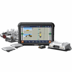
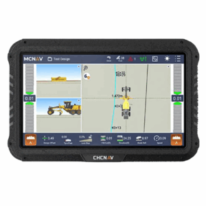
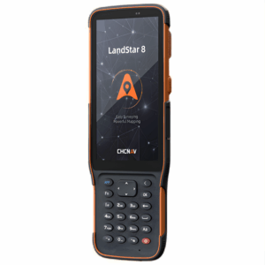
Related products
-
·XBM·00
-
·XBM·01
-
·XBM·02
-
·XBM·03
There are no reviews yet.