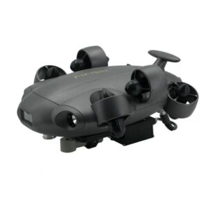
Enhance hydrographic data collection with cutting-edge drones for bathymetric surveys. Our advanced solutions provide accurate water depth mapping, seamless data acquisition, and high-resolution underwater topography, making them ideal for coastal studies, reservoir analysis, and environmental monitoring. Achieve precision, efficiency, and safety in every survey with our state-of-the-art technology.
-
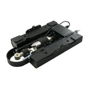
·SEA·00

-
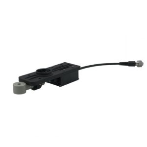
·SEA·01

-
·SEA·02
-
·SEA·03
-
·SEA·04
-
·SEA·05
-
·SEA·06
-
·XBM·07

-
·SEA·08

-
·SEA·09

-
·SEA·10
-
·SEA·11
FAQ’s on Drones for Bathymetric Survey
What is a bathymetric survey drone?
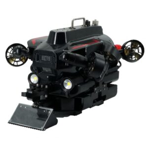
A bathymetric survey drone is an underwater drone equipped to map and analyze underwater terrain, depth, and seabed features using sonar or other sensing technology.
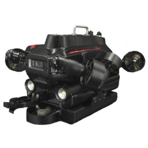
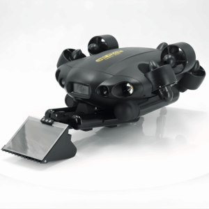
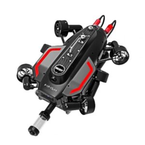
Which underwater drones at Xboom are suitable for bathymetric surveys?
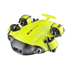
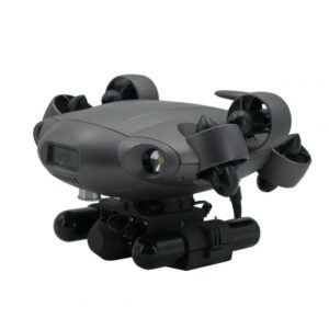
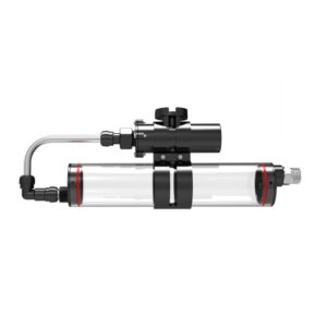
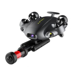
Xboom offers the QYSEA FIFISH V6 Expert and V6 Plus, both compatible with multi-beam sonar modules, USBL systems, and other accessories ideal for bathymetric surveys.
Can I attach sonar to QYSEA FIFISH drones for detailed depth mapping?
Yes. Both the FIFISH V6 Expert and V6 Plus allow sonar integration. This makes them suitable for detailed underwater surveys.
How deep can QYSEA drones go?
The FIFISH V6 Expert dives up to 100 meters. The V6 Plus reaches depths of 150 meters, perfect for deep-water tasks.
Do these drones offer real-time data?
Yes, they provide real-time 4K video and live data from sonar and other sensors. You can monitor everything as it happens.
Does Xboom offer support and training?
Absolutely. Xboom provides training, demos, and expert help. You’ll get full support for setup and use of your underwater drone.
Xboom offers advanced underwater drones ideal for bathymetric surveys, especially QYSEA models like the FIFISH V6 Expert and V6 Plus. These drones not only support sonar integration but also provide highly accurate underwater mapping and terrain analysis. Moreover, with diving depths of up to 100 meters for the V6 Expert and 150 meters for the V6 Plus, they are perfect for deep-water projects. In addition, users benefit from real-time 4K video and sensor data, allowing for immediate feedback and quicker decision-making. Furthermore, Xboom ensures easy setup, full training, and dedicated expert support to help you get started without any hassle. Whether you’re conducting research, performing marine inspections, or exploring underwater environments, these drones deliver precision, durability, and reliable performance. Overall, Xboom’s bathymetric survey solutions combine cutting-edge technology with excellent customer support for a smooth and effective experience.