


Description
| Category | Spec |
|---|---|
| GNSS channels | 1408 channels with iStar 2.0 hybrid engine |
| Constellations | GPS L1C/A, L2C, L2P(Y), L5; Galileo E1/E5a/E5b/E6*; GLONASS L1/L2/L3*; BeiDou B1I/B2I/B3I/B1C/B2a/B2b*; QZSS L1C/A/L1C/L2C/L5; NavIC L5; SBAS L1/L5* |
| RTK accuracy | H: 8 mm + 1 ppm; V: 15 mm + 1 ppm; init <10 s; reliability >99.9% |
| Static & rapid static | H: 2.5 mm + 0.5 ppm; V: 5 mm + 0.5 ppm |
| High-precision static | H: 2.5 mm + 0.1 ppm; V: 3.5 mm + 0.4 ppm |
| PPK / Code diff / PPP | PPK supported; Code diff H: 0.4 m / V: 0.8 m; PPP supports B2b-PPP & Galileo E6B-HAS |
| Time to first fix | Cold <45 s; Hot <10 s; Re-acquisition <1 s |
| Positioning rate | 1 Hz, 5 Hz and 10 Hz (per datasheet) |
| Visual surveying | Typical 2–4 cm accuracy, range 2–15 m |
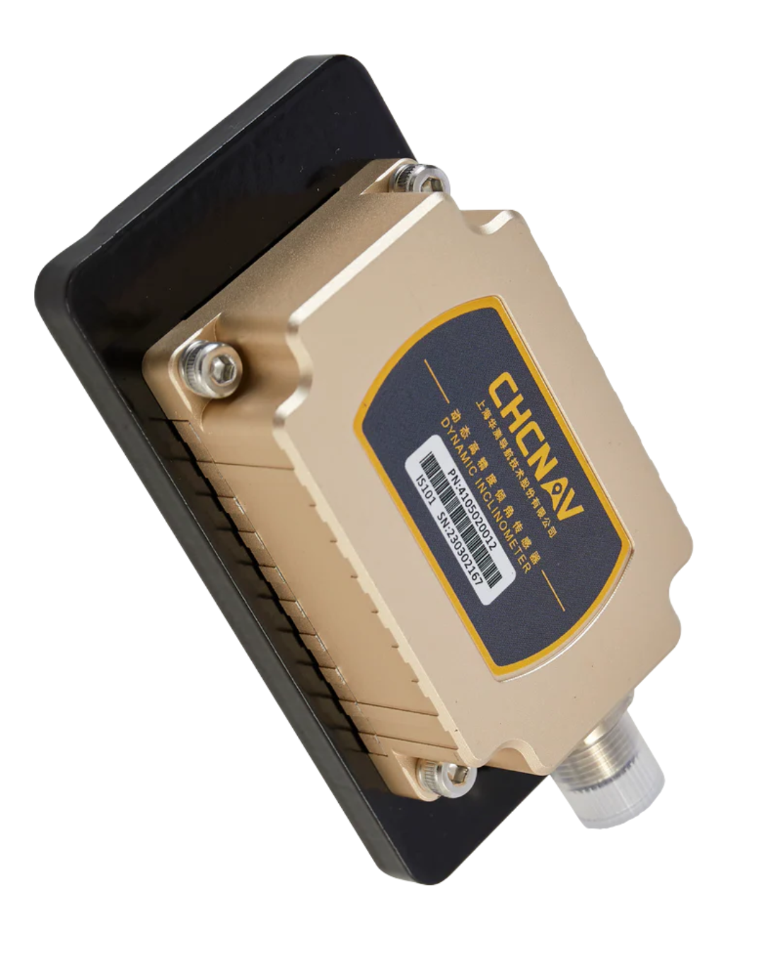
| IMU (tilt) | 200 Hz Auto-IMU, 0–60°; additional horiz. uncertainty typically < 8 mm + 0.7 mm/° to 30°; ~3 cm accuracy over 60° |
| Cameras | Dual global-shutter 2 MP + 5 MP, 75° FOV; 25 fps; panoramic capture; typical 60 MB per 60 s group |
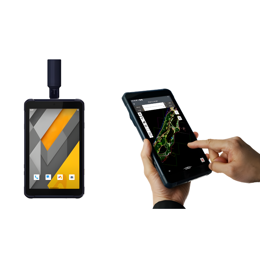
| AR/visual features | Visual Survey, Visual Stakeout, Visual Navigation; VPT™ (Virtual Pole Tip) in LandStar |
| Wireless | Bluetooth® 4.2, Wi-Fi 802.11 b/g/n/ac (2.4 & 5.8 GHz), NFC |
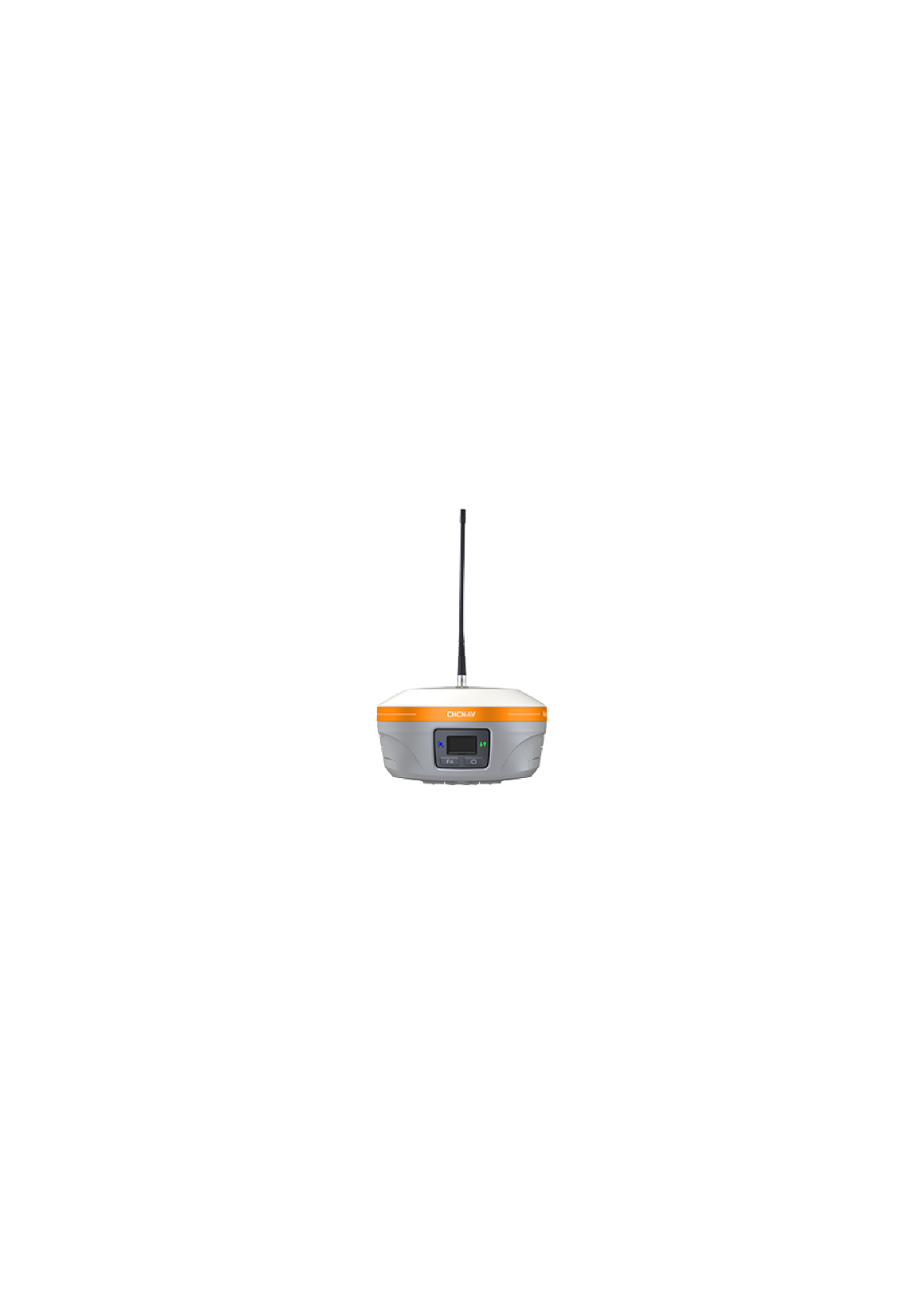
| UHF radio | Tx/Rx 410–470 MHz, 0.5 W/1 W; protocols: CHC, Transparent, TT450, Satel; typical 3 km (up to 8 km optimal) |
| Data formats | RTCM 2.x/3.x, CMR I/O; RINEX 2.11/3.02; NMEA 0183 out; NTRIP Client/Caster |
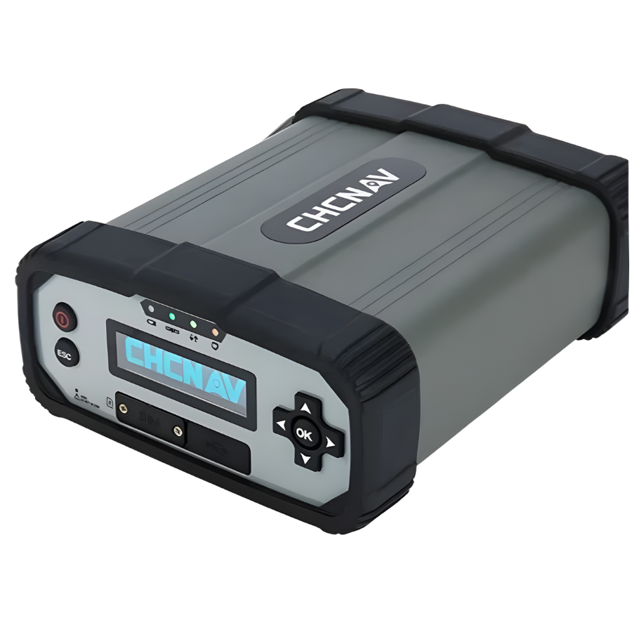
| Storage & ports | 8 GB internal; USB-C (power/data/fw); TNC UHF antenna port |
| Battery & power | 7.2 V/4900 mAh internal; up to 16.5 h rover (w/o camera), up to 9.5 h visual survey; up to 10 h UHF base; up to 22 h static; 18 W quick charge (~3 h to full) |
| Ruggedness | IP68, 100% RH non-condensing, 2 m pole drop; vibration per ISO 9022-36-08 & MIL-STD-810H |
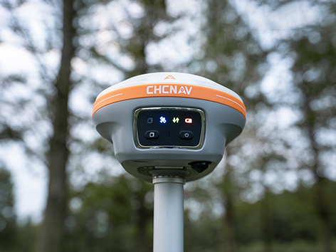
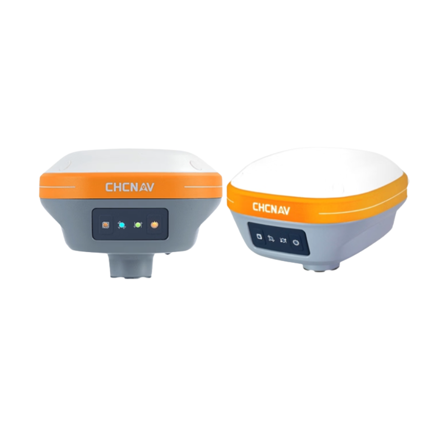
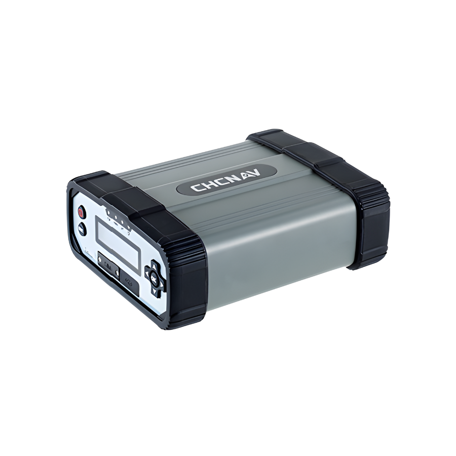
| Size & weight | Ø133 × 87 mm, 750 g |
| Operating temp | −40 °C to +65 °C; storage −40 °C to +85 °C |
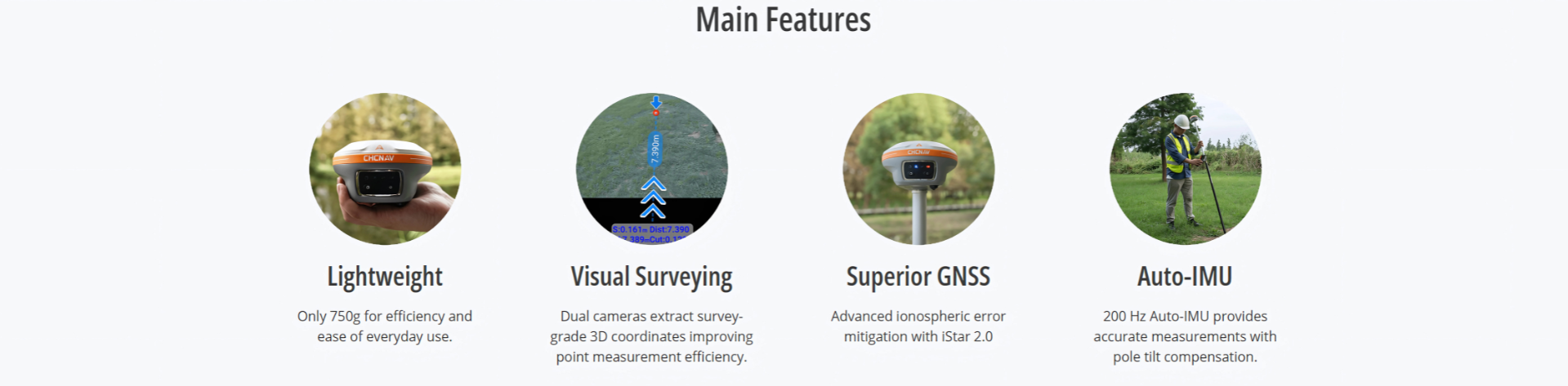
The powerful 1408 Module GNSS, model 189 is small and strong for surveying. It gives reliable RTK Performance in tough conditions also. It doesn’t matter how erratic the solar activity gets, RTK fixes remain dependable thanks to its intelligent ionospheric modeling. Additionally, the i89 is the best option for completing surveying tasks efficiently and comfortably throughout the day due to its featherlight 750 g design and remarkable 16.5-hour battery life.


There are no reviews yet.