


Description
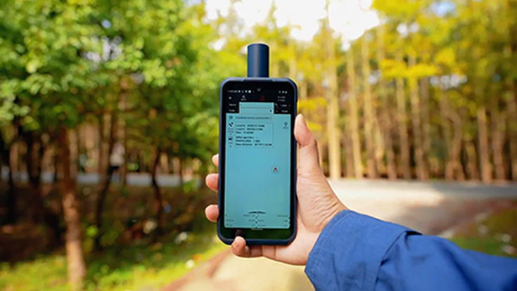
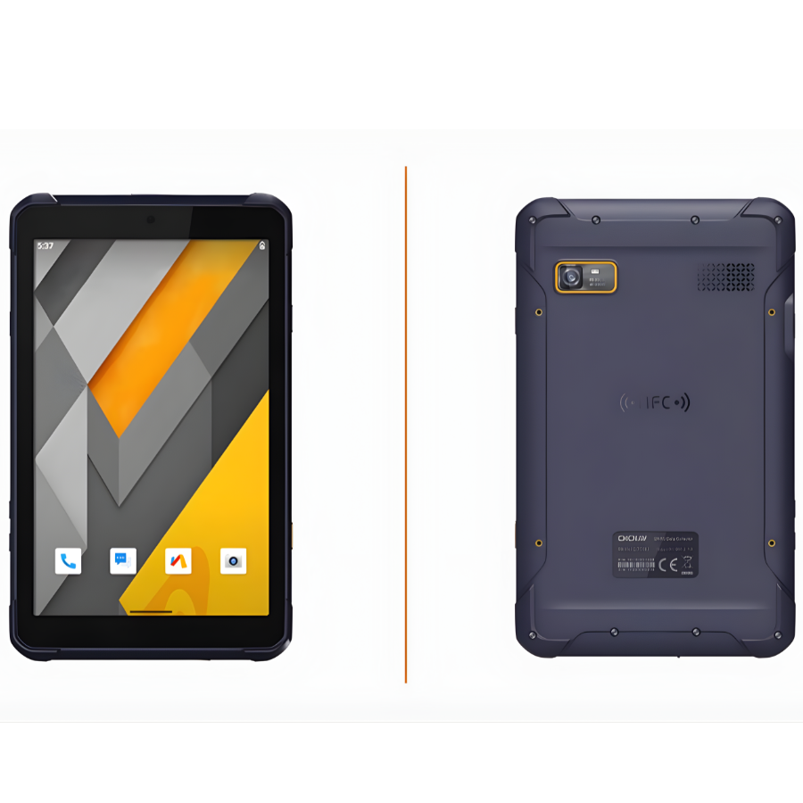
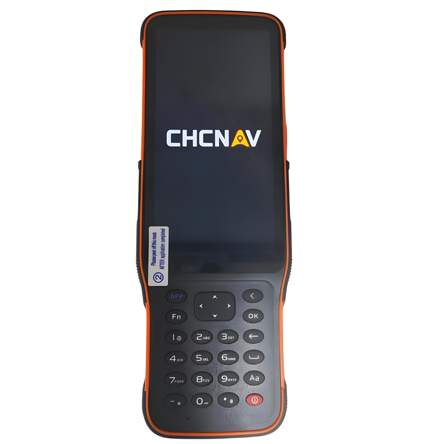
CHCNAV LT60H Rugged Smartphone with GNSS RTK Positioning
| Category | Specification |
|---|---|
| Display & Touch | 6.3″ touchscreen IPS, resolution 2340 × 1080, >400 ppi, Corning Gorilla Glass 3, 5-point capacitive touch (stylus/gloves/wet-hands supported) |
| GNSS / Positioning | 1408 GNSS channels; supports GPS, GLONASS, Galileo, BeiDou, QZSS, SBAS. RTK positioning accuracy: ~2 cm (H) / 2 cm (V) in optimal conditions. |
| Processor / Memory | Octa-core ~2 GHz processor; typical memory configurations cited: e.g., 8 GB RAM + 256 GB storage. |
| Operating System | Android (GMS & Android Enterprise Recommended certified) |
| Connectivity | WiFi (802.11 a/b/g/n/ac), Bluetooth 5.1, NFC, 4G LTE cellular modem, USB-C with OTG support. |
| Cameras | Rear: 16 MP (with flash); Front: 8 MP. |
| Battery & Power | 6000 mAh Li-ion built-in battery; up to ~8 hours continuous collection at full brightness (~25 °C) cited. Charging time ~4 h (QC3.0) in one spec sheet. |
| Durability & Environmental | IP67 ingress protection (dust & water), drop resistance up to ~1.5 m, operating temp range approx -20 °C to +60 °C, storage -40 °C to +70 °C. |
| Physical Dimensions & Weight | Approx. 212.4 mm × 81.5 mm × 32.8 mm; weight ~400 g. (Note: vary by configuration) |
| Sensors | NFC, G-Sensor, Light Sensor, E-Compass, Gyroscope. |
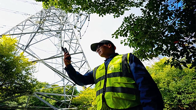
| Applications | Precision GIS data collection, surveying & engineering, urban/utility inspection, pipeline/asset management, outdoor field work in tough conditions. |
| Manufacturer / Model Info | Brand: CHCNAV; Model: LT60H (Rugged GNSS RTK Smartphone) |
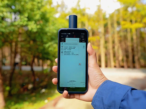
CHCNAV LT60H Highlights
The LT60H delivers dependable, high-precision performance for industries that demand centimeter- or decimeter-level accuracy. Its lightweight, portable design and IP67-rated rugged build let professionals work confidently in tough field environments. With its bright 6.3″ sunlight-readable display, the LT60H makes it easy to view maps, manage assets, capture detailed photos, and carry out precision GIS data collection or utility inspection tasks with speed and efficiency.
CHCNAV LT60H Features
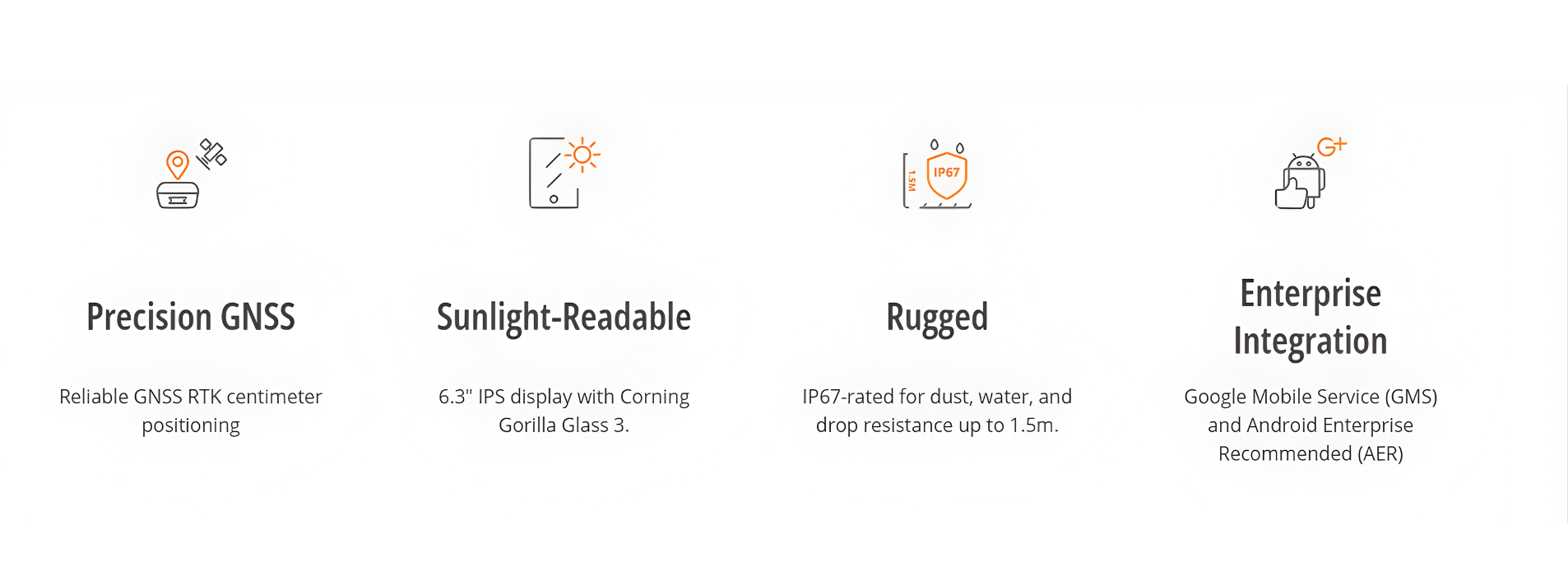
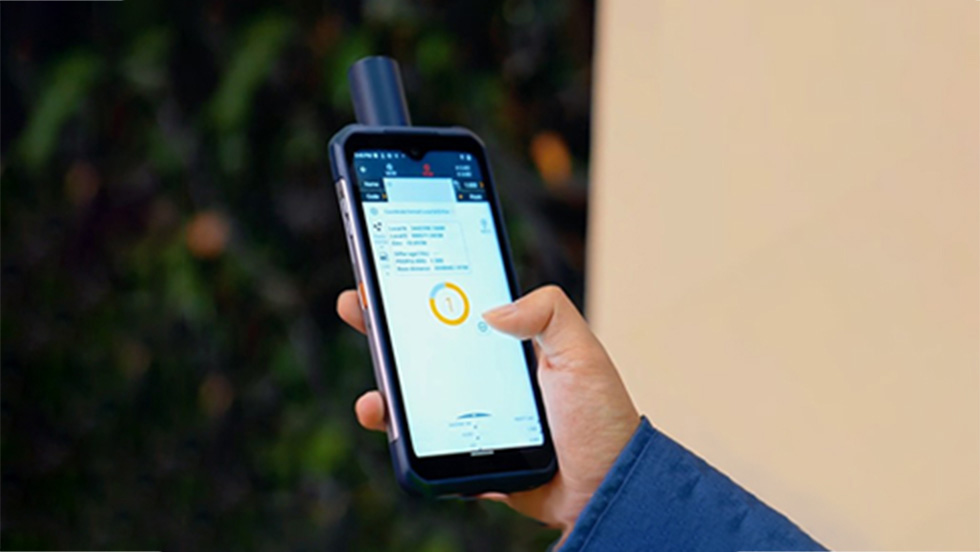
Survey-Grade GNSS Accuracy
Unlock centimeter- and decimeter-level precision with the LT60H’s powerful 1408-channel GNSS module. It works seamlessly with GPS, GLONASS, Galileo, BeiDou, QZSS, and SBAS, giving you dependable positioning accuracy wherever your work takes you.
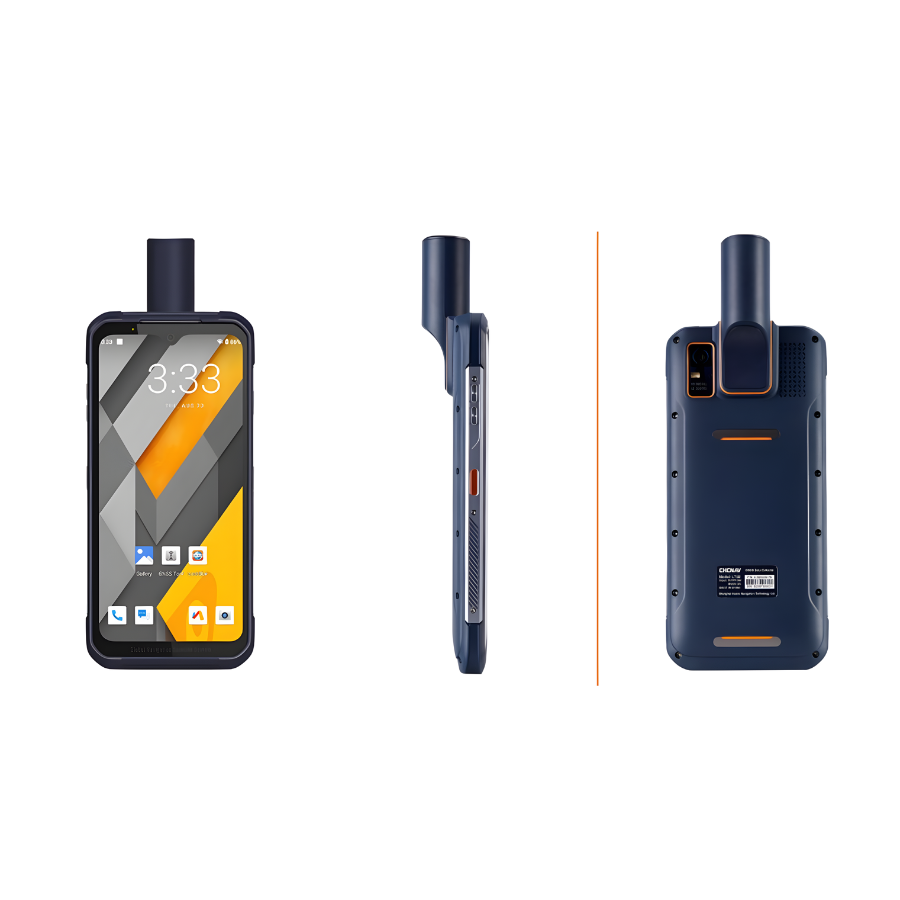
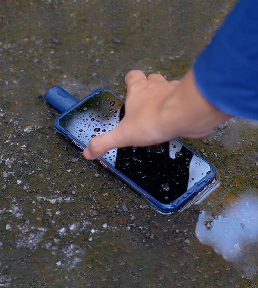
Rugged Smartphone Design
Take on demanding field environments with confidence. The LT60H features an industrial-grade IP67 rating, offering solid protection against dust, water, and accidental drops of up to 1.5 meters—ideal for tough, fast-paced field operations.
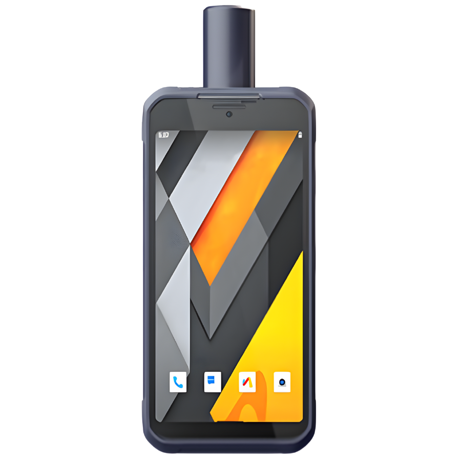
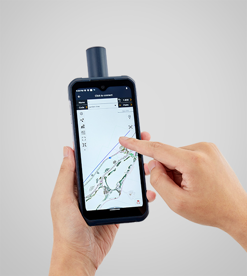
Sunlight-Readable Display
See every detail clearly on the LT60H’s 6.3-inch, 400 PPI IPS display reinforced with Corning® Gorilla® Glass 3. Its bright, sunlight-readable screen gives you excellent visibility outdoors, making field data collection smoother and more efficient.
Versatile Application Support
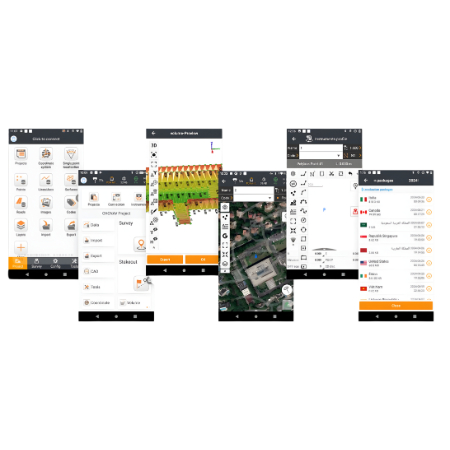
Work with the tools you already trust. The LT60H supports a wide range of third-party Android mapping apps and is fully certified with GMS and AER, ensuring smooth performance and compatibility with your favorite data-collection software from the Google Play Store.
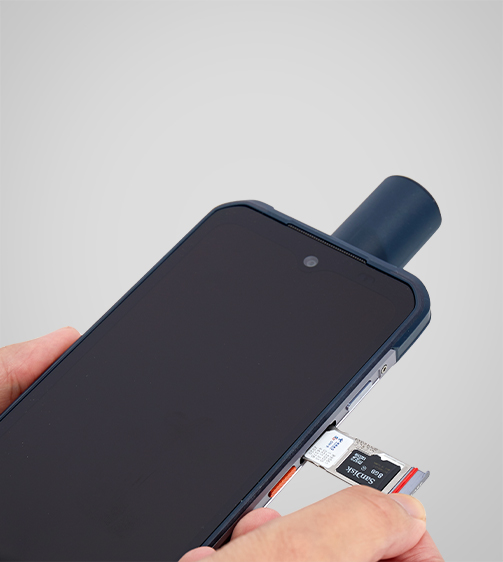
Comprehensive Connectivity
Stay fully connected in the field with integrated 4G, Wi-Fi, and Bluetooth 5.1. The LT60H enables seamless field-to-office communication, supports network RTK corrections, and ensures quick, reliable data transfer to keep your projects moving.
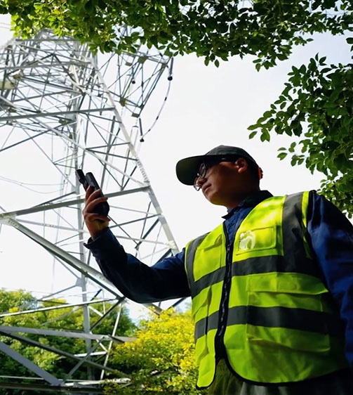
CHCNAV LT60H Use Cases


There are no reviews yet.