

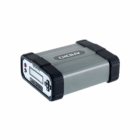


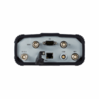
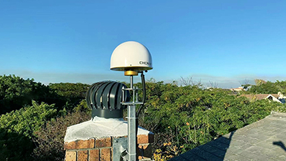
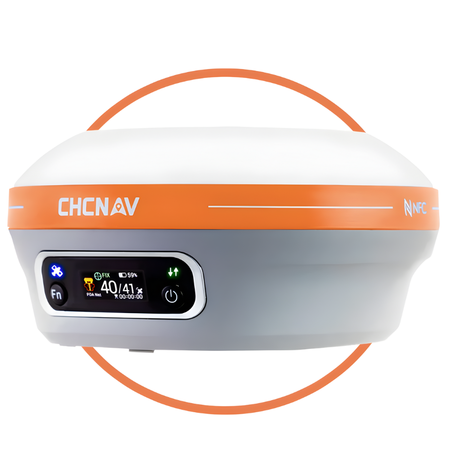
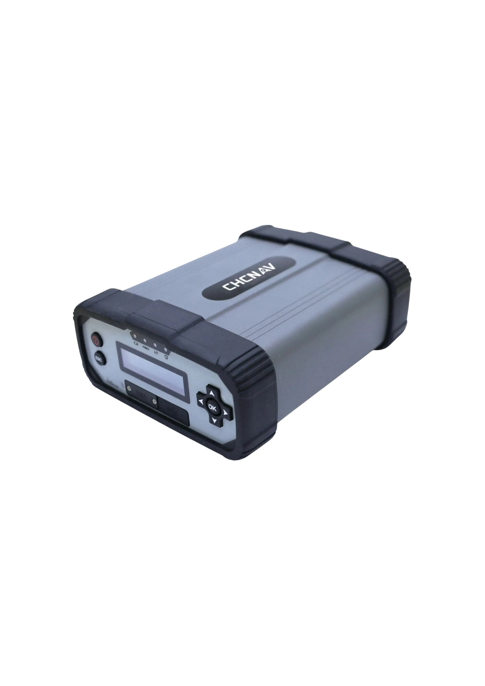
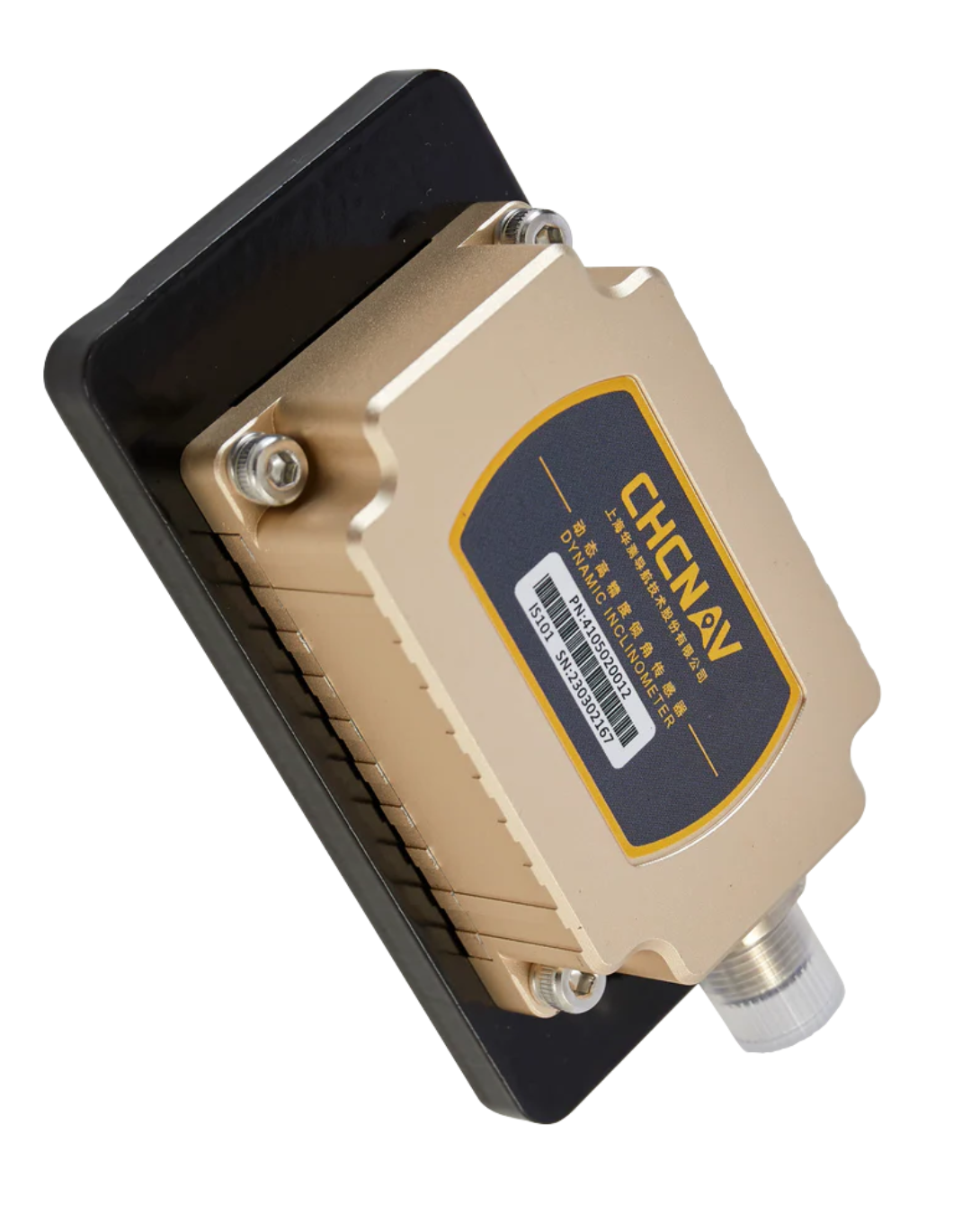
Description
CHCNAV P5 Complete Specifications
| Category | Specification |
|---|---|
| GNSS / Positioning | Full GNSS support: GPS, GLONASS, Galileo, BeiDou, QZSS |
| Channels | |
| Accuracy (max) | |
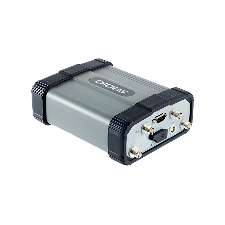
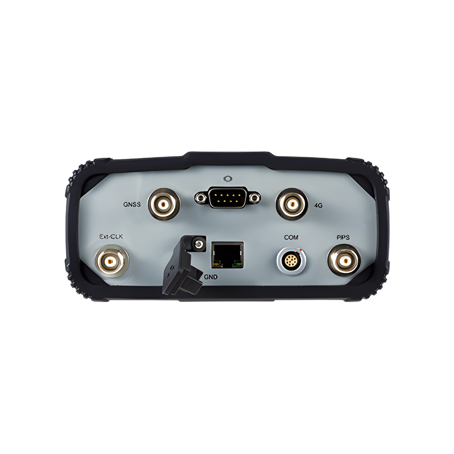
| Connectivity | Wireless |
| Cellular | |
| Ethernet | |
| Modem | |
| Data Storage | Internal |
| External (expandable) | |
| Logging Sessions | |
| Data Formats / Protocols | Correction formats |
| Observables / Output | |
| Power | External input |
| Battery | |
| Reliability | |
| Physical | Dimensions |
| Weight | |
| Environmental | |
| Protection | |
| Security / Monitoring | Access control |
| System monitoring | |
| Use Cases | Typical applications |
Benefits & Performance Highlights
-
Ultra-Precise Positioning
Thanks to 1,408 channels and full-constellation tracking, the P5 delivers very high-quality raw GNSS data, which supports precise RTK corrections and reliable positioning — critical for geodetic, CORS, or infrastructure-monitoring deployments. -
Robust & Reliable Connectivity
With integrated Ethernet, 4G LTE, and Wi-Fi, the P5 ensures stable and secure data transmission. The automatic failover feature helps maintain uninterrupted streaming if one link fails. -
Large Data Capacity
The internal 32 GB storage (expandable up to 1 TB) paired with support for 8 simultaneous logging sessions lets the P5 store long-term GNSS data. It supports standard RINEX formats and provides embedded FTP for easy data retrieval. -
Power Redundancy & Durability
Dual power inputs (AC/DC) and a high-capacity internal battery (up to 20 h backup) ensure the station remains operational through power failures. The MTBF > 35,000 h indicates high reliability. -
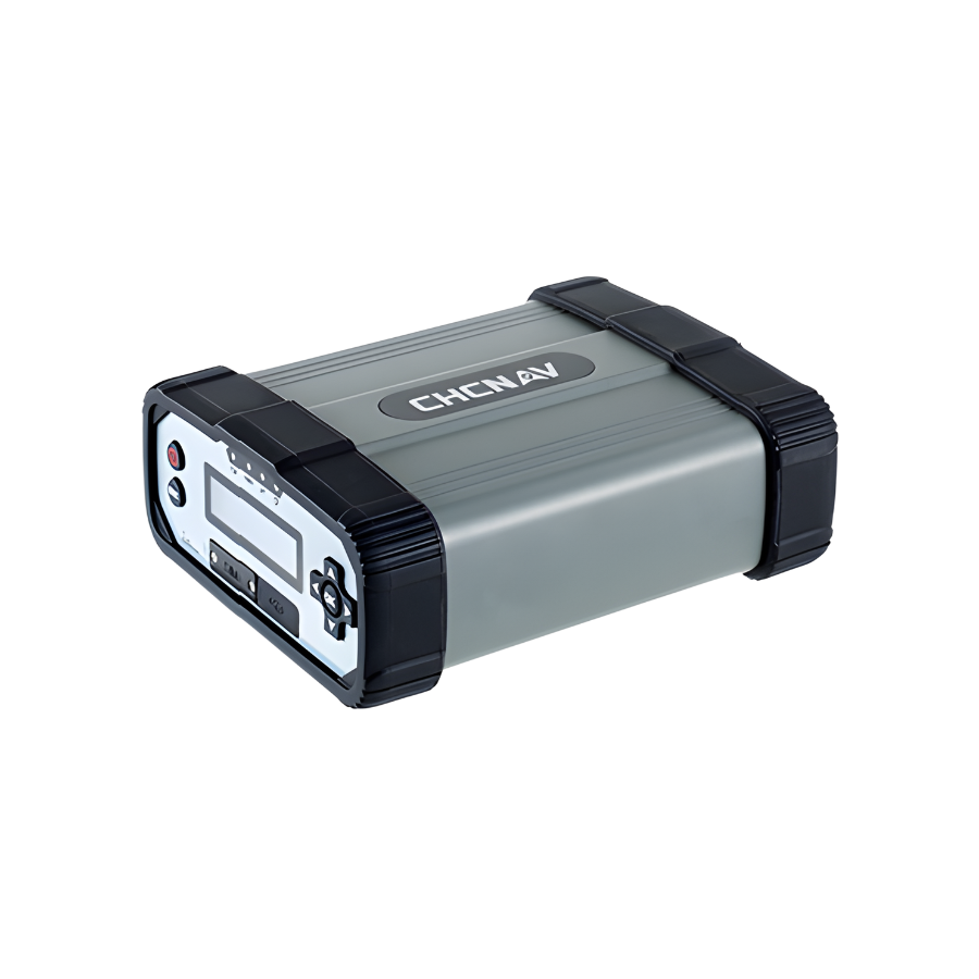
Field-ready Design
The IP67-rated housing protects against dust and water, while voltage stabilization, lightning protection, and shock resistance make it ideal for deployment in harsh or remote environments. -
Secure and Intelligent Management
Real-time system diagnostics, user-rights management, HTTPS, email alerts, and auto-reconnect capabilities provide strong security and remote operational control.

Main Features
-
Advanced Multi-Constellation GNSS Tracking
-
Supports GPS, GLONASS, Galileo, BeiDou, and QZSS.
-
Uses 1,408 tracking channels, ensuring robust and precise raw GNSS data.
-
-
Versatile and Redundant Connectivity
-
Network interfaces: Ethernet, 4G LTE, and Wi-Fi.
-
Automatic failover between Ethernet and 4G to maintain data streaming reliability.
-
Supports secure access via OpenVPN, HTTPS, web-interface controls, and user permissions.
-
-
Smart Data Management
-
Internal storage: 32 GB.
-
Expandable external storage: up to 1 TB.
-
Supports up to 8 simultaneous data logging sessions.
-
Embedded FTP server, plus FTP “push” capability for remote data upload.
-
Data format: standard RINEX format (e.g. RINEX 3.02) for long-term archiving.
-
-
Reliable Power & Backup
-
Supports both DC and AC external power.
-
High-capacity internal battery (17,000 mAh) giving up to 20 hours of backup operation.
-
Mean Time Between Failures (MTBF) is very high – over 35,000 hours.
-
Rugged, Field-Ready Design
-
-
IP67-rated housing for strong dust and water resistance.
-
Built-in protections: voltage stabilization, lightning protection, and shock resistance.
-
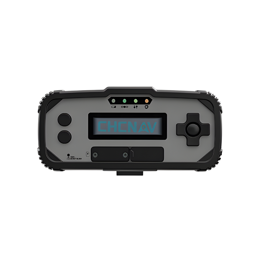
Real-time self-diagnosis and status-monitoring, with a status screen on the device.
-
-
Continuous Monitoring & Alerts
-
Provides live feedback on network status, power conditions, firmware version, etc.
-
Supports email alerts plus automatic reconnection protocols if connectivity fails.
-
-
High-Precision Positioning
-
Offers geodetic-grade precision: up to 0.8 cm horizontal / 1.5 cm vertical accuracy under optimal conditions.
-
High integrity of GNSS raw data, suitable for RTK corrections, deformation/CORS monitoring, and scientific research.
-
-
Wide Application Scope
-
Designed for:
-
GNSS augmentation & CORS networks
-
Deformation / structural monitoring
-
Atmospheric & seismic research
-
Precision agriculture, machine control, vehicle or ship navigation
-
-
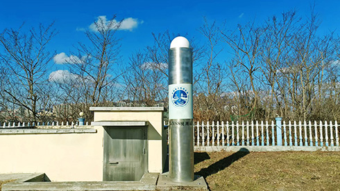
CHCNAV P5 – Use Cases
| Category | Use Case Description |
|---|---|
| CORS Networks | Establishing regional/national Continuously Operating Reference Stations; providing 24/7 RTK corrections for surveyors, GIS teams, and construction users. |
| Geodetic & Land Surveying | Creating and maintaining geodetic control networks, static GNSS surveys, long-baseline reference measurements, and national datum maintenance. |
| Deformation & Structural Monitoring | Monitoring dams, tunnels, slopes, bridges, and high-rise structures for millimeter-level movement using continuous GNSS tracking. |
| Scientific Research | Used for atmospheric, meteorological, ionospheric, and tectonic research; supports seismic activity and crust movement monitoring. |
| Precision Agriculture | Provides RTK correction signals for automated tractors, harvesters, spraying systems, and precision farm guidance. |
| Marine & Hydrographic | Supports dredging operations, port navigation, coastal mapping, and sea-level or tide monitoring from a stable land-based reference point. |
| Construction & Machine Control | Provides high-accuracy corrections for automated or semi-automated machinery like dozers, excavators, graders, and pavers. |
| GIS & Mapping | Improves accuracy in utility mapping, asset management, environmental monitoring, and urban planning surveys. |
| Intelligent Transportation / Autonomous Navigation | Supports high-precision positioning for smart city systems, autonomous vehicles, robotics, and ITS infrastructure. |
| Long-Term GNSS Data Archiving | Captures long-duration RINEX data for post-processing, national geodetic archives, and research institutions. |


There are no reviews yet.