
Description
Overview
| Item | Details |
|---|---|
| Product | CHCNAV TX63 |
| Category | 3D machine guidance for excavators |
| Core tech | Dual-GNSS + high-rate IMU with EX-Tech mechanical model algorithm |
| Purpose | Real-time, centimeter-level bucket guidance for accurate, faster digging |
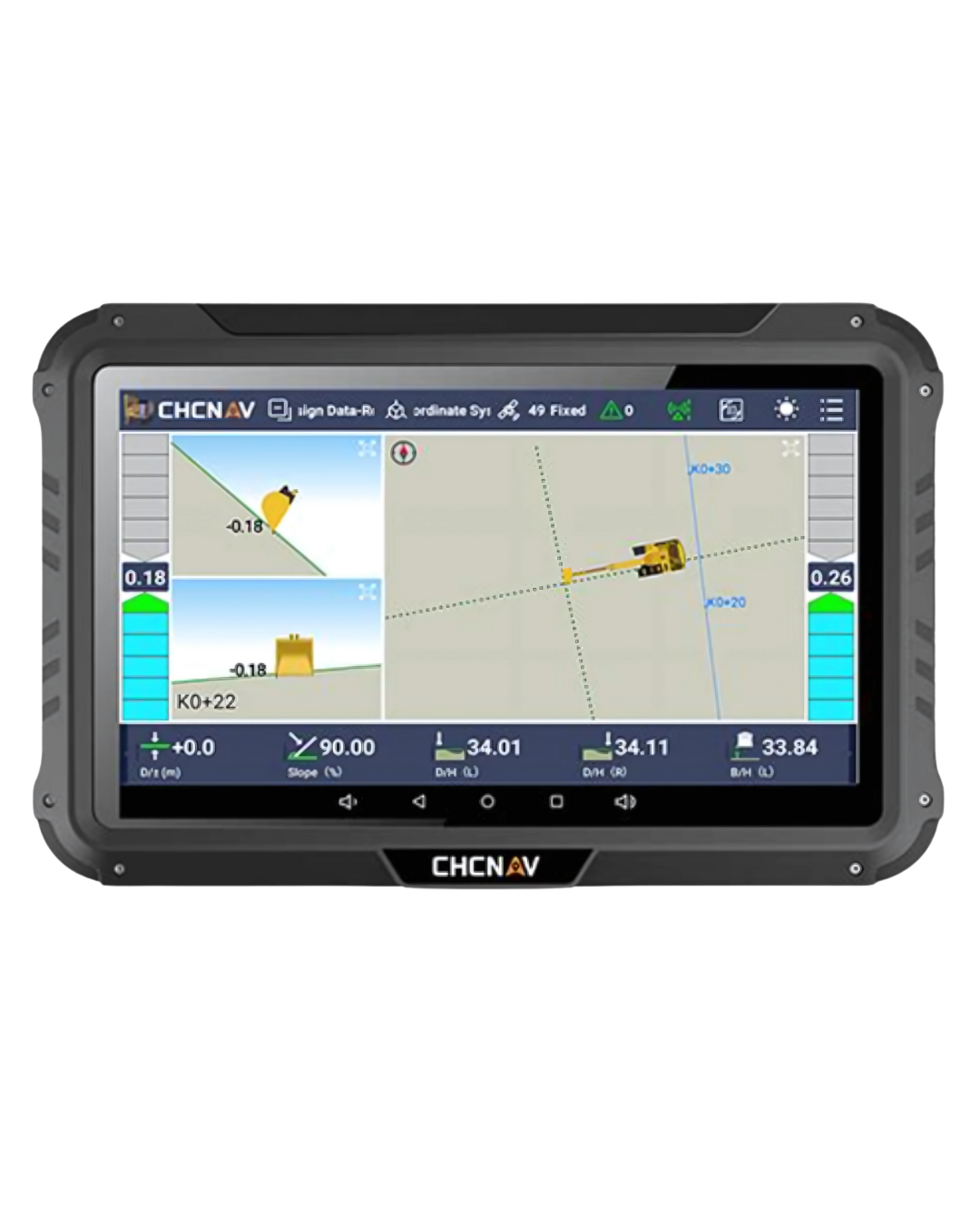
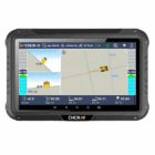
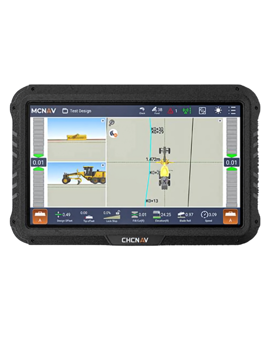
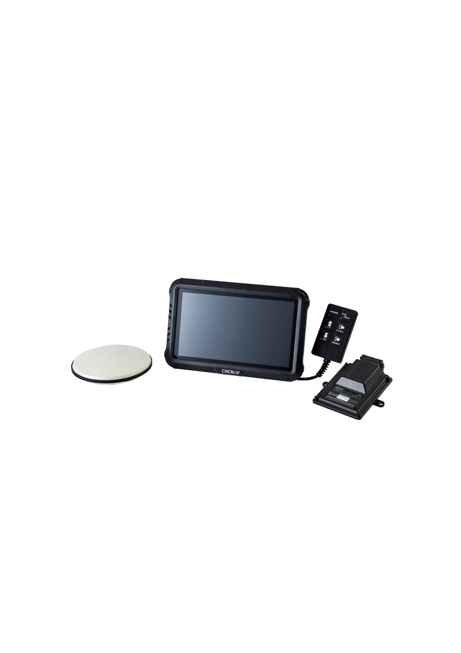
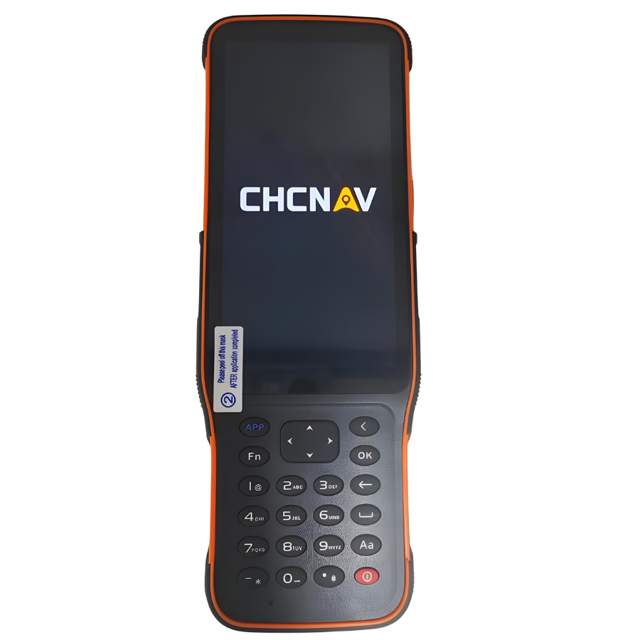
| Interface | 10.1″ rugged industrial touchscreen; intuitive, operator-friendly UI |
| Operation modes | 3D guidance, optional 2D/3D dual operation; quick on-site surface creation |
Key Benefits
| Benefit | What it means on site |
|---|---|
| Centimeter-level guidance | Precise bucket tip position and grade control for reduced rework |
| Fast rollout | Typical installation < 2 hours; calibration ~ 2 hours |
| Rugged, job-site ready | Sensors IP69K/MIL-STD-810E; antennas IP68; display IP65 |
| Clear, simple UI | High-brightness 10.1″ display with straightforward workflow |
| Flexible integration | Works with common design files and multiple radio protocols; cloud-friendly |
Performance & Accuracy
| Metric | Specification / Typical Result |
|---|---|
| Positioning accuracy (with corrections) | ~1 cm horizontal / ~1.5 cm vertical |
| Bucket alignment precision | Dynamic ±0.1°; Static ±0.05° |
| Finished excavation (real-world) | ≈ ±3 cm with dual-GNSS + sensors + EX-Tech |
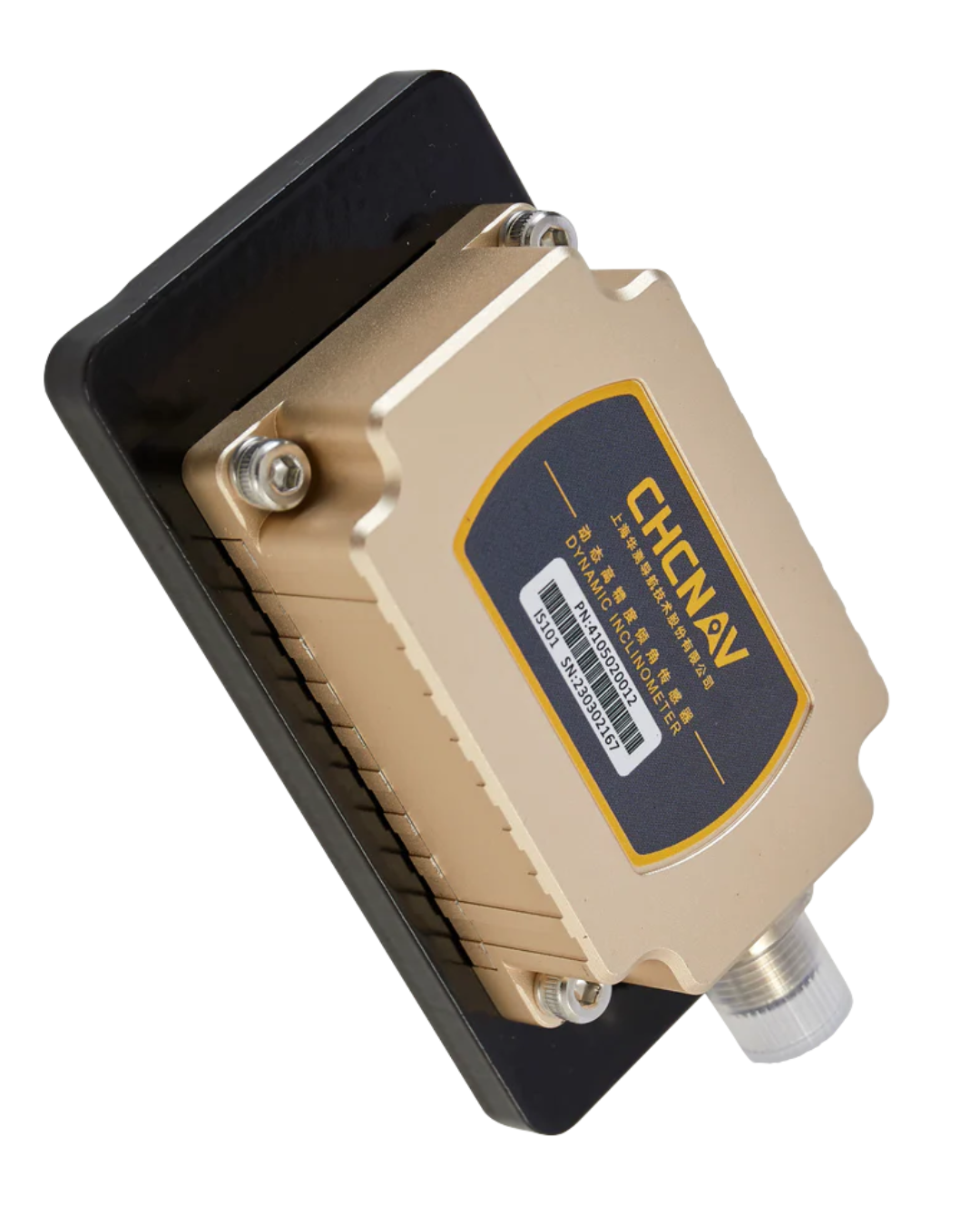
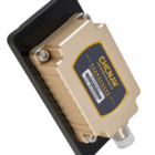
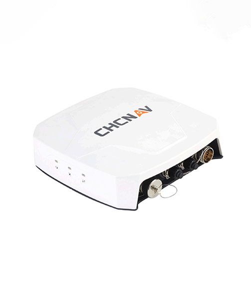
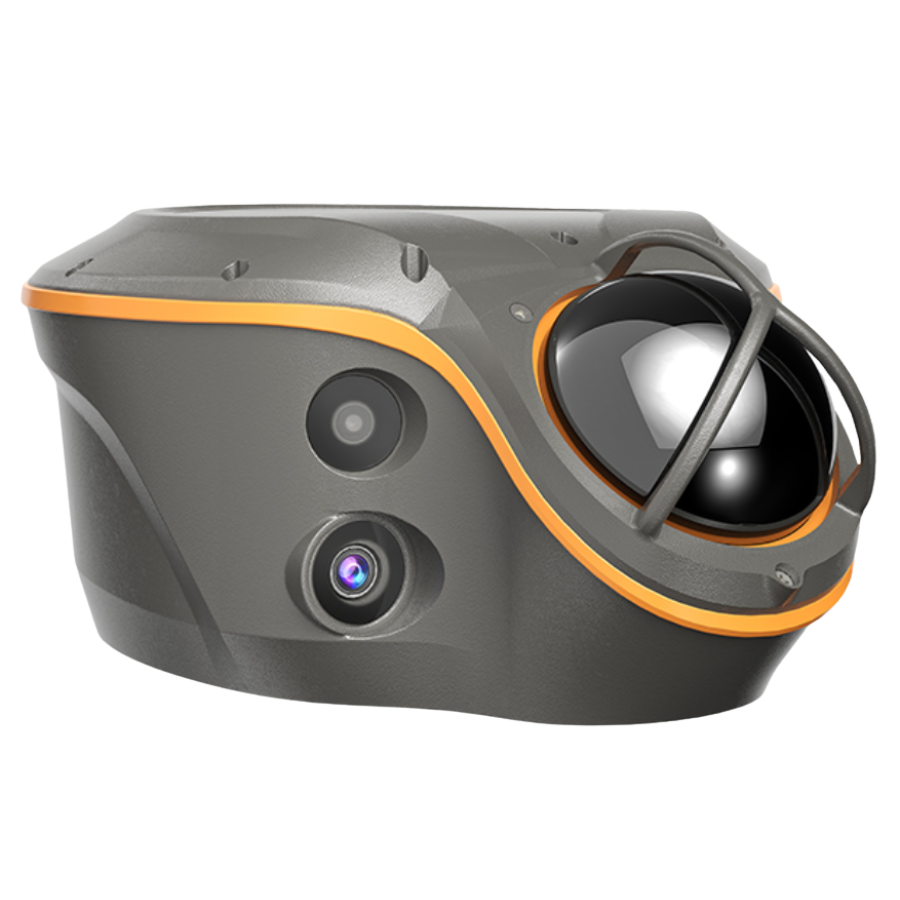
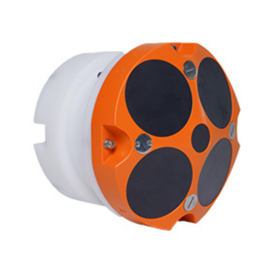
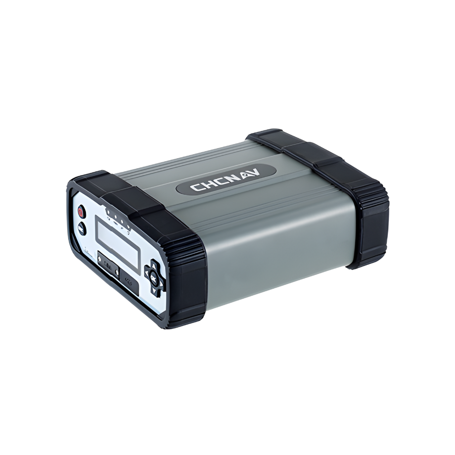
Hardware Components & Ratings
| Component | Key Specs | Environmental Rating |
|---|---|---|
| Display/Console | 10.1″ industrial touchscreen; Android OS | IP65 |
| Tilt/IMU Sensor | High-rate (100 Hz) attitude sensing | IP69K; MIL-STD-810E |
| GNSS Antennas | Dual antennas for position + heading | IP68 |
| Cab/boom harness & mounts | Vehicle-specific harnessing and brackets | (Varies by kit/dealer) |
Connectivity & I/O
| Interface | Details |
|---|---|
| Cellular | 4G LTE |
| Wireless | Wi-Fi, Bluetooth |
| UHF Radio | 410–470 MHz (receive), protocol-flexible (varies by configuration) |
| Vehicle/Serial | CAN bus, RS-232 |
Installation & Calibration
| Task | Typical Time | Notes |
|---|---|---|
| Hardware install | < 2 hours | Mount display, antennas, sensors; route harnesses |
| System calibration | ~ 2 hours | Machine geometry & sensor alignment |
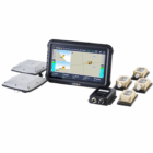
What’s Included (Typical Kit)
| Item | Purpose |
|---|---|
| 10.1″ display with guidance software | Operator interface & processing |
| Dual GNSS antennas | Precise positioning + heading |
| IMU/tilt sensors (boom/stick/bucket) | High-rate attitude data for the digging geometry |
| Cab/boom/stick harnesses & mounts | Power, data, and secure installation |
| Mounting hardware & accessories | Brackets, fasteners, adapters (kit-dependent) |
File & Workflow Compatibility
| Area | Details |
|---|---|
| Supported design files | Common civil formats including DXF, LandXML (others may be available per bundle) |
| Modes | 3D guidance; optional dual 2D/3D; quick on-site surface creation |
| Data/Radio | Multiple radio protocol support (configuration-dependent) |
| Cloud/Transfer | Designed for connected workflows (dealer/bundle dependent) |
Typical Use Cases
| Application | Outcome |
|---|---|
| Mass excavation & trenching | Faster cycles, fewer stakes, reduced over/under-cut |
| Ponds, pads, embankments | Accurate slopes and final surfaces |
| Roadside ditches & utilities | Consistent grade and alignment with less survey support |
Quick Reference (At-a-Glance)
| Feature | Value |
|---|---|
| Guidance engine | Dual-GNSS + IMU + EX-Tech |
| Display | 10.1″, rugged, high-brightness |
| Accuracy (with corrections) | ~1 cm H / ~1.5 cm V |
| Bucket precision | ±0.1° dynamic; ±0.05° static |
| Typical finished accuracy | ≈ ±3 cm |
| Sensors | 100 Hz tilt/IMU |
| Ratings | Sensors IP69K/MIL-STD-810E; Antennas IP68; Display IP65 |
| Comms | 4G LTE, Wi-Fi, Bluetooth, UHF 410–470 MHz (Rx) |
| I/O | CAN, RS-232 |
| Install / Calibrate | < 2 h / ~ 2 h |
| Files | DXF, LandXML (plus others by configuration) |
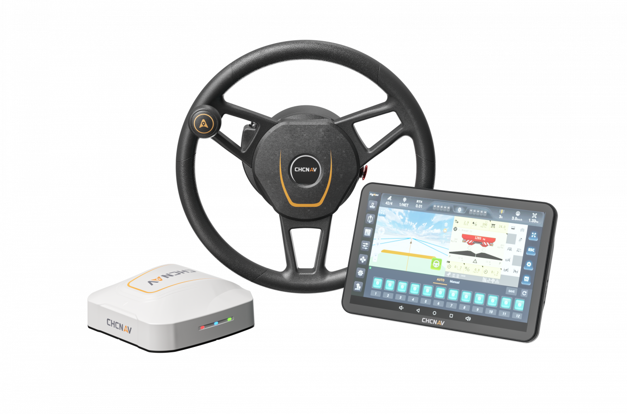
The TX63, a 3D guidance system, was developed to boost the efficiency of excavation activities. Because of the TX63’s accurate real-time guidance, which is supplied by dual-GNSS modules, IMU sensors, and EX-Tech’s mechanical model algorithm, operators can easily align the bucket with the design surface. The device features an industrial touchscreen and user-friendly software that offer fast access to controls and thorough work information to optimize excavation efforts.


There are no reviews yet.