
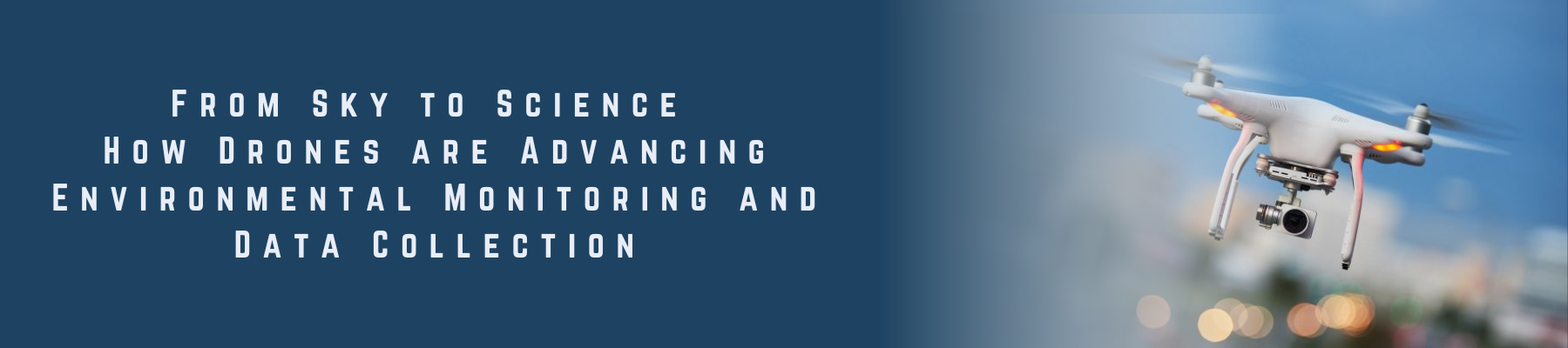
The eco-friendly way to monitor the environment – Drones for sustainable data collection
Drone-based environmental monitoring and data collection is becoming a vital tool for addressing environmental challenges. With advanced sensors and cameras, drones collect real-time data on air and water quality, temperature, and weather patterns.
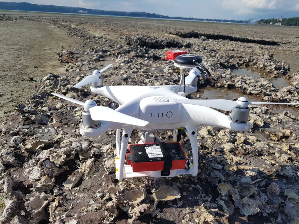
Compared to traditional methods, drones offer faster and more comprehensive data collection. They can easily cover vast areas in less time. Drones also operate in hard-to-reach places like forests, mountains, and oceans, where human access is limited or dangerous.
As a result, environmental scientists can gather and analyze data more accurately and efficiently. Machine learning processes drone data to detect patterns that humans may overlook.
Moreover, drones are cost-effective and require fewer people and resources. They also produce less noise and air pollution, making them an eco-friendly option.
In conclusion, drones offer a smarter and greener way to monitor the environment. As technology evolves, drone-based monitoring will continue to transform how we protect our planet.
Maximizing the Accuracy of Drone Survey Data with Xboom’s Advanced Techniques
- Equipment and Technology
- At Xboom, we use the latest equipment and software to ensure that the data we collect is of the highest quality.
- Our drones are equipped with high-resolution cameras and sensors that can capture detailed images and data.
- We use advanced post-processing software like Pix4D, DJI Terra and other to create highly accurate and precise 3D models and maps.
2. Pilot Expertise and Flight Planning
- Our team of pilots are highly trained and experienced in flying drones, and they use their expertise to ensure that the data collection is completed safely and efficiently.
- We use a flight plan that is optimized for data collection, which ensures that the data we collect is accurate and reliable.
3. Quality Control
- Additionally, we use Quality Control checks and procedures to verify the accuracy and precision of the data we collect.
- We use Ground Control Points (GCPs) and check points to ensure the accuracy of the data.
- Standards and Commitment
- At Xboom, we strive to meet and exceed industry standards in terms of accuracy and precision.
- Our Commitment to providing high-quality, accurate and precise data collection services is at the forefront of our business.
