001 / INDUSTRIAL DRONE OPERATIONS · INDIA

Drone services for real-world operations.

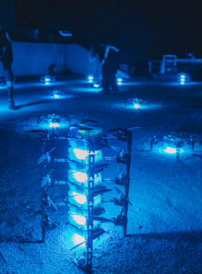
Inspection, mapping, surveillance, agriculture, logistics and aerial data workflows delivered as one complete service: mission planning, pilots, drones, sensors, processing and reports.

10y
In market
5K+
Drones deployed
PAN
India missions
002 / COMPLETE DRONE SOLUTION

Not just pilots.
Mission systems.

xBoom delivers fleet, trained pilots and data processing as one mission stack — so you buy outcomes, not equipment. Every deployment is scoped with the four capabilities below.

/ 01

Mission Planning

Define flight zones, permissions, safety plan, deliverables, timeline and risk controls before deployment.

Site scope Permissions
/ 02

Drone + Sensor Selection

Select multirotor, VTOL, thermal, RGB, LiDAR, multispectral or payload systems based on the work.

DJI Autel VTOL
/ 03

Field Operations

Trained drone pilots execute the mission safely and consistently, including critical inspections and complex sites.

Pilots SOPs
/ 04

Data & Reports

Process captured data using industry software into maps, models, thermal findings, inspection reports and dashboards.

Pix4D DJI Terra
003 / SERVICE LINES

Choose by mission.
Not by drone.

Six outcome-focused service lines instead of a long, mixed list of use cases. Pick the one that matches what you need delivered — we'll bring the right fleet and sensors.

Survey & Mapping
SURVEY · MAPPING · MODELS

Survey & Mapping

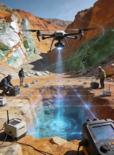
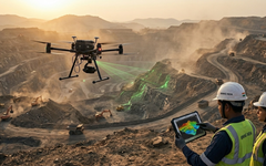
High-accuracy aerial data for land survey, construction planning, city planning, mining, agriculture and large-area progress tracking.

Orthomosaic DSM / DTM 3D model Volume
Industrial Inspection
ASSET · THERMAL · STRUCTURAL

Industrial Inspection

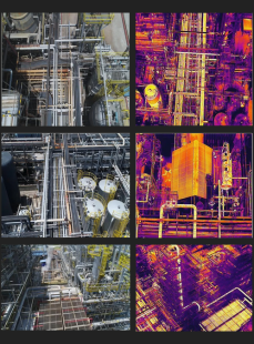
Inspect power plants, wind turbines, bridges, roads, communication towers, pipelines, solar farms, dams, canals and facilities with visual, thermal and specialised sensors.

Thermal Defect log Close visual Report
Surveillance & Monitoring
SECURITY · PUBLIC SAFETY

Surveillance & Monitoring

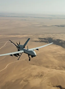
Live aerial monitoring for industrial facilities, public events, traffic, perimeter security, environmental monitoring and incident response.

Live feed Alerts Night ops Thermal
Agriculture Services
CROP · MULTISPECTRAL · SPRAY

Agriculture Services

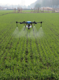
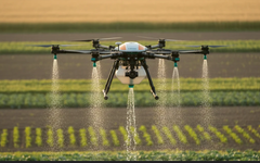
Crop monitoring, multispectral imaging, pest and disease detection, soil-health insights and spraying support for precision agriculture workflows.

Crop health NDVI Spray Advisory
Delivery & Transportation
PAYLOAD · MEDICAL · LOGISTICS

Delivery & Transportation

Drone delivery workflows for logistics, healthcare, emergency supplies and payload movement where speed and access matter.

Route plan Payload Tracking SOP
Events & Drone Shows
EVENTS · SHOWS · CROWD OPS

Events & Drone Shows

Aerial coverage, crowd monitoring and synchronised drone shows for brand launches, public events, weddings, sports and government celebrations.

Permissions Choreo Ops Safety
003B / SPECIALISED INSPECTIONS

Six industries.
One inspection stack.

Purpose-built drone-inspection missions for the six industrial assets that dominate Indian infrastructure spend. Same fleet, purpose-built sensors and repeatable reporting - so audits stay comparable year over year.

Solar Panel Inspection
SOLAR . PV . THERMAL

Solar Panel Inspection

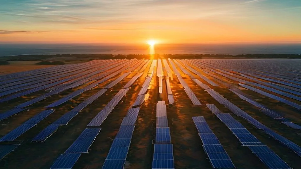
Aerial thermal + RGB inspection of utility-scale solar farms and rooftop installations. Detect hot spots, PID / snail-trails, cracked cells, junction-box faults and dust-soiling loss with panel-level heat maps.

Thermal map Hot spots Panel-level ROI report
Wind Mill Inspection
WIND . BLADE . TURBINE

Wind Mill Inspection

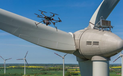
Close-visual blade inspection for onshore wind farms. Drone-captured high-resolution imagery of leading edge, trailing edge, tip and root - no rope access, no operational shutdown, full defect log with severity grading.

Blade CVI Zoom Defect log No shutdown
Power Grid Survey
GRID . TRANSMISSION . TOWER

Power Grid Survey

Transmission-line and substation aerial survey. Insulator condition, corona discharge, right-of-way vegetation encroachment, tower geometry and thermal anomalies captured in a single flight window per span.

Line survey ROW veg Thermal Insulators
Dam Inspection
DAM . SPILLWAY . RESERVOIR

Dam Inspection

Structural inspection of dam walls, spillway gates, penstocks and reservoir slopes with drone-captured RGB, thermal and photogrammetric data. Safer than rope-access, repeatable for annual audits and reservoir monitoring.

Crack map Spillway Photogrammetry Audit
Bridge Inspection
BRIDGE . SPAN . PIER

Bridge Inspection

Under-deck, pier and cable-stay inspection for highway, rail and pedestrian bridges. Reach every span without traffic closure or lift access. Deliverables include high-res defect imagery, condition rating and structural change over time.

Under-deck Pier No closure Rating
Industrial Inspection
PLANT . REFINERY . FACILITY

Industrial Inspection

General industrial asset inspection for refineries, chemical plants, steel works, cement plants and manufacturing facilities. Chimney and flare-tip inspection, tank-roof scans, insulation hot-spots and comprehensive facility mapping.

Flare tip Tank roof Insulation Facility map
004 / EXECUTION FLOW

A 5-stage mission,
not a booking.

01

Discovery & site scope

Understand objective, location, asset type, risk, data needs and business outcome.

02

Mission design

Select drone, payload, pilots, permissions, flight plan and reporting format.

03

Field deployment

Execute flights with trained pilots, SOPs, checklists and site safety controls.

04

Processing & analysis

Convert raw aerial data into maps, models, measurements, findings and dashboards.

05

Delivery & support

Share reports, review findings with teams and plan repeat missions where needed.

005 / INDUSTRY FIT

Built for the
work that matters.

Tab through the industries below for the problems solved, the stack we recommend and the deliverables you receive.

POWER · TRANSMISSION · SOLAR

Inspection without shutdown-heavy manual access.

Drone teams capture visual and thermal data for substations, transmission lines, power plants, solar panel installations and wind assets. The output is a clear defect log, thermal report or maintenance-ready dataset.

Problems solved Risky access, slow manual rounds, incomplete asset visibility.
Recommended stack Enterprise drone, thermal camera, zoom payload and mapping software.
Deliverables Thermal anomalies, close visuals, maps, inspection report and priority list.
006 / FLEET + SOFTWARE

The right aircraft
for the mission.

We organise the fleet by capability — mapping, inspection, agriculture and autonomous — so selection is driven by the work, not by brand clutter.

Survey drones

Survey drones

Multirotor and VTOL platforms for mapping, construction, mining and large-area surveys.

RGB · RTK · VTOL
Inspection drones

Inspection drones

Zoom, thermal and low-light payloads for power, oil & gas, facilities and infrastructure.

Zoom · Thermal
Agriculture drones

Agriculture drones

Spraying and crop-analytics systems for farms, plantations and agronomy teams.

Spray · NDVI
Autonomous systems

Autonomous systems

Drone docks, surveillance workflows and payload-delivery systems for repeat missions.

Dock · Delivery
007 / TRUSTED BY TEAMS

Enterprise-ready,
field-tested.

A selection of enterprise customers who have trusted xBoom drone services for inspection, mapping, surveillance and agriculture missions.

L&T
TATA POWER
RELIANCE
ADANI
TOYOTA CONNECTED
IIT HYDERABAD
ARCELOR MITTAL
SCINDIA SCHOOL
008 / MISSION PLANNER

Tell us the site.
We'll plan the mission.

Share the site, the service line and the window. A solutions engineer replies with a scoped mission brief — drone, payload, pilots, permissions, timeline and deliverables — within one business day.

What do customers receive?

Depending on the service: maps, models, thermal reports, inspection findings, live feed, measurements, route data or a mission summary — delivered with the raw dataset and a presentation-ready debrief.

Can this work pan-India?

Yes. xBoom operates pan-India as a mission partner, with deployment details — permissions, local logistics, site safety — confirmed during scoping.

Do I need DGCA permissions?

For most BVLOS, restricted-airspace and controlled missions — yes. xBoom handles permission filings, NOC coordination and regulator liaison as part of mission scope.

Plan your mission

Tell us the site, the service and the window — we reply with a scoped brief within one business day.

WhatsApp Chat
Hit enter to search or ESC to close