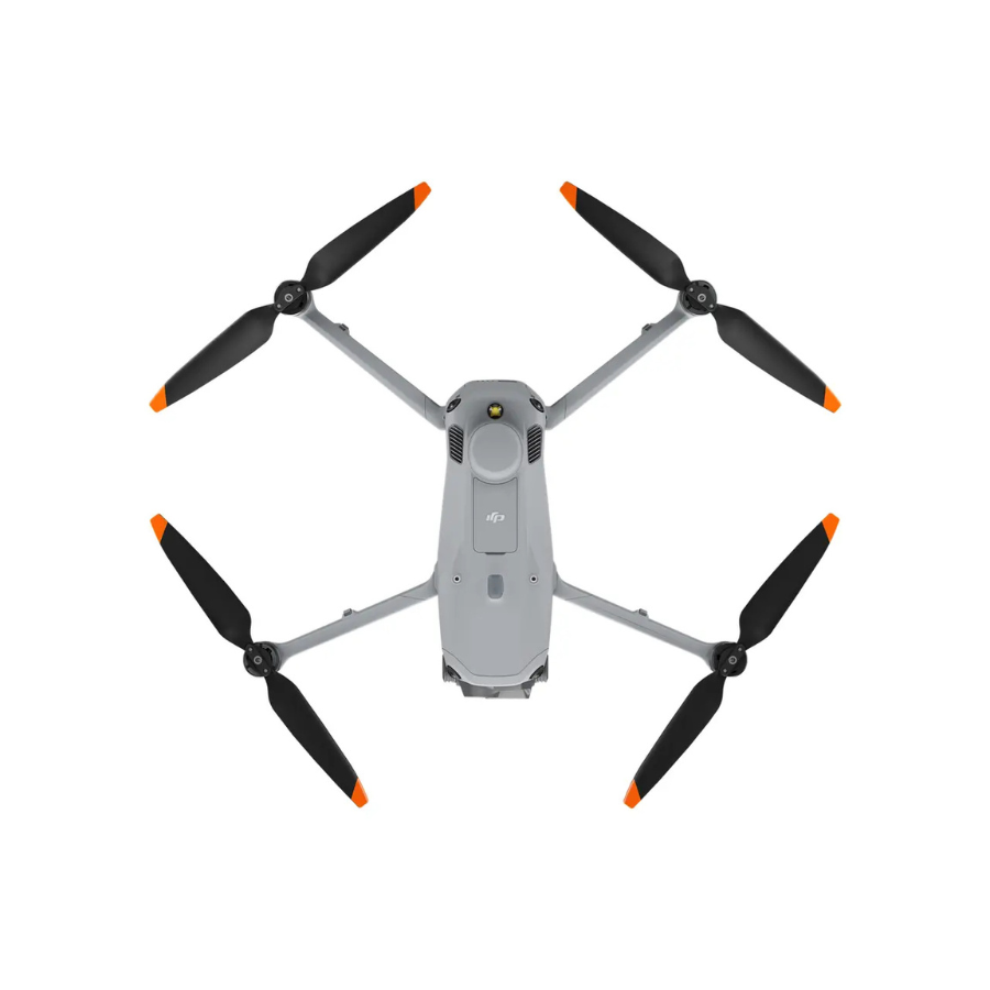
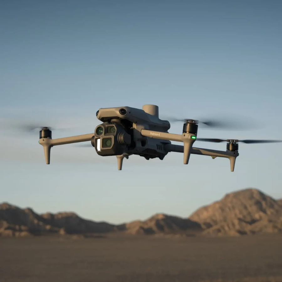
DJI Matrice 4E
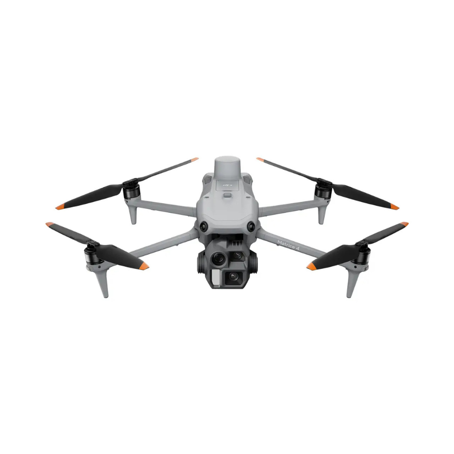
- Capture survey-grade imagery with a 4/3-inch CMOS wide camera delivering 20 MP resolution, plus a 3-lens multi-sensor system covering wide, medium tele, and telephoto perspectives.
- Fly for up to 49 minutes (standard propellers) in windless conditions, covering ground efficiently on a single charge.
- Achieve centimetre-level positioning accuracy with built-in RTK — 1 cm + 1 ppm horizontal and 1.5 cm + 1 ppm vertical — ideal for surveying, mapping, and construction applications.
- Omnidirectional obstacle sensing keeps every flight safe, with forward and backward detection up to 200 m and lateral sensing up to 200 m at full flight speed.
- Stay connected with the O4 Enterprise transmission system, delivering 1080p/30fps live view and a maximum range of 25 km (FCC) / 12 km (CE/SRRC/MIC). (Indian buyers operate under CE/SRRC limits — 12 km max.)
- Built to operate reliably from -10°C to 40°C, with a compact folded footprint of 260.6 × 113.7 × 138.4 mm and a takeoff weight of just 1,219 g.
- 3 months · ₹183,000
- 6 months · ₹91,500
- 9 months · ₹61,000
Select Snapmint at checkout · Available on orders above ₹3,000 · Subject to eligibility
- Trusted dealerDirect manufacturer partnership
- Pan-India deliveryInsured shipping, all states
- Post-sale supportTraining + service included
What makes it work
Introducing the DJI Matrice 4E
AI-Powered Recognition and Smart Operations with DJI Matrice 4E
Equipped with AI, the system can identify vehicles, vessels, and subjects during both search and rescue missions and routine flights. Features include Cruise, FlyTo, Smart Track, and POI modes for enhanced functionality.
DJI Matrice 4E
A 4/3-Inch 20MP Wide Camera, Centimeter-Level RTK Accuracy, and 49 Minutes of Flight Time
Full Specifications
| Specification | Details |
|---|---|
| Takeoff Weight | 1219g (standard propellers), 1229g (low-noise propellers) |
| Max Takeoff Weight | 1420g (standard propellers), 1430g (low-noise propellers) |
| Dimensions (Folded) | 260.6×113.7×138.4mm (L×W×H) |
| Dimensions (Unfolded) | 307.0×387.5×149.5mm (L×W×H) |
| Max Payload | 200g |
| Max Ascent / Descent Speed | 10m/s ascent, 8m/s descent (6m/s with accessories) |
| Max Horizontal Speed | 21m/s forward, 18m/s backward, 19m/s sideways (sea level, no wind) |
| Max Altitude | 6000m (4000m operating altitude with payload) |
| Max Flight Time | 49 minutes (standard propellers), 46 minutes (low-noise propellers), no wind |
| Max Hover Time | 42 minutes (standard propellers), 39 minutes (low-noise propellers) |
| Max Flight Distance | 35km (standard propellers), 32km (low-noise propellers), no wind |
| Max Wind Speed Resistance | 12m/s, during takeoff and landing |
| Operating Temperature | -10°C to 40°C |
| Satellite Positioning | GPS + Galileo + BeiDou + GLONASS (GLONASS requires RTK module enabled) |
| RTK GNSS Accuracy | RTK Fix: 1cm+1ppm horizontal, 1.5cm+1ppm vertical |
| Hovering Accuracy | ±0.1m (Vision System or RTK), ±0.5m (GNSS) |
| Ports | E-Port × 1 (official accessories/PSDK), E-Port Lite × 1 (tuning software/PSDK) |
| Specification | Details |
|---|---|
| Wide Camera Sensor | 4/3-inch CMOS, 20MP effective pixels |
| Wide Lens | 84° FOV, 24mm equivalent, f/2.8-f/11 aperture, focus 1m to infinity |
| Medium Tele Camera | 1/1.3-inch CMOS, 48MP; 35° FOV, 70mm equivalent, f/2.8, focus 3m to infinity |
| Telephoto Camera | 1/1.5-inch CMOS, 48MP; 15° FOV, 168mm equivalent, f/2.8, focus 3m to infinity |
| ISO Range | Normal: 100-25,600; Night Scene (Wide): 100-204,800; (Medium Tele/Tele): 100-409,600 |
| Shutter Speed | Wide: 2-1/8000s electronic, 2-1/2000s mechanical; Medium Tele/Tele: 2-1/8000s |
| Max Photo Size | Wide: 5280×3956; Medium Tele: 8064×6048; Tele: 8192×6144 |
| Minimum Photo Interval | 0.5 seconds |
| Photo Format | Wide: JPEG/DNG (RAW); Medium Tele & Tele: JPEG |
| Video Resolution | 4K: 3840×2160@30fps; FHD: 1920×1080@30fps |
| Video Format | MP4 (H.264/H.265) |
| Digital Zoom (Telephoto) | 16× (112× hybrid zoom) |
| Mapping Capture Modes | 5-Directional Oblique Capture, 3-Directional Ortho Capture, Smart 3D Capture |
| Specification | Details |
|---|---|
| Stabilization | 3-axis (tilt, roll, pan) |
| Mechanical Limits | Tilt: -140° to 50°; Roll: -52° to 52°; Pan: -65° to 65° |
| Controllable Tilt Range | -90° to 70° |
| Max Control Speed (tilt) | 100°/s |
| Angular Vibration Range | ±0.007° |
| Specification | Details |
|---|---|
| Sensing Type | Omnidirectional binocular vision system + 3D infrared sensor (bottom) |
| Forward / Backward Range | 0.4-200m detection, obstacle avoidance up to 21m/s flight speed |
| Lateral Range | 0.5-200m detection, obstacle avoidance up to 21m/s flight speed |
| Downward Range | 0.3-18.8m, obstacle avoidance up to 10m/s flight speed |
| Specification | Details |
|---|---|
| Live View Quality | 1080p/30fps on remote controller |
| Operating Frequency | 2.400-2.4835GHz, 5.150-5.250GHz (CE), 5.725-5.850GHz |
| Max Transmission Distance | 25km (FCC); 12km (CE/SRRC/MIC) — India operates under CE/SRRC limits, 12km max |
| Max Download Speed | 20MB/s |
| Latency | Approx. 130ms |
| Antenna | 8 antennas, 2T4R |
| Specification | Details |
|---|---|
| Capacity | 6741mAh |
| Standard Voltage | 14.76V |
| Energy | 99.5Wh |
| Cell Type | Li-ion 4S |
| Weight | 401g |
| Cycle Count | 200 |
| Charging Temperature | 5°C to 40°C |
| Power Adapter | 100W, 100-240V AC input, included in this package |
| Specification | Details |
|---|---|
| Screen | 7.02-inch, 1920×1200, 1400 nits, 60fps, 10-point touch |
| Built-in Battery | 2S2P 18650 Li-ion, 6500mAh @ 7.2V, 46.8Wh |
| Internal Battery Runtime | 3.8 hours |
| Storage | 128GB internal, expandable via microSD |
| Operating System | Android 11 |
| Connectivity | Wi-Fi 802.11a/b/g/n/ac/ax, Bluetooth 5.2, optional DJI Cellular Dongle 2 |
| Weight | 1.15kg (without external battery) |
| Operating Temperature | -20°C to 50°C |
| Specification | Details |
|---|---|
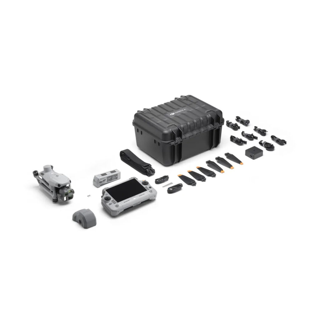
| In the Box | DJI Matrice 4E aircraft, 1× Intelligent Flight Battery, DJI RC Plus 2 Enterprise remote controller, 100W USB-C power adapter, gimbal protector, 3× spare propellers, DJI Cellular Dongle 2 pry bar, data/power cables, hard storage case with shoulder strap |
| Note | This package includes 1 battery and does not include the multi-battery charging hub — both are available as separate accessories for extended field operations |
Precision Mapping in the Field
A Three-Lens System Built for Survey-Grade Work
The Matrice 4E pairs a larger 4/3-inch, 20MP wide camera with a 48MP medium telephoto and a 48MP telephoto lens offering 16× digital (112× hybrid) zoom — enough to detect screws from 10 meters or read signage from up to 250 meters away without flying closer.
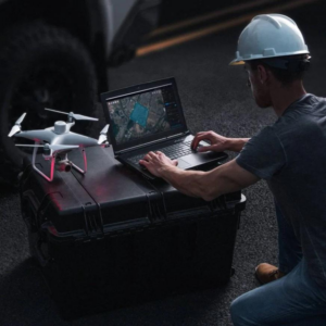
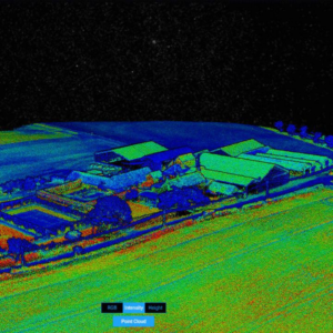
Built-in RTK delivers 1cm+1ppm horizontal accuracy, and the aircraft supports 5-Directional Oblique Capture, 3-Directional Ortho Capture, and Smart 3D Capture at 0.5-second shooting intervals — all designed to feed directly into DJI Terra for automated mapping reports.
4/3" 20MP Wide + Dual Tele
A larger wide sensor plus medium tele and tele lenses cover overview, detail, and long-range inspection in a single flight.
Centimeter-Level RTK
Built-in RTK delivers 1cm+1ppm horizontal accuracy for surveying, mapping, and construction work that demands precision.
Omnidirectional Sensing, 200m
Forward, backward, and lateral obstacle detection out to 200m keeps flights safe even at higher speeds.
O4 Enterprise Transmission
A 1080p live feed and up to 12km of range under CE/SRRC (the applicable standard in India) keep operators connected in the field.
See Every Detail
Compact for an Enterprise Airframe
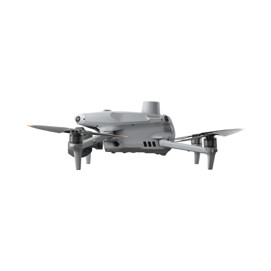
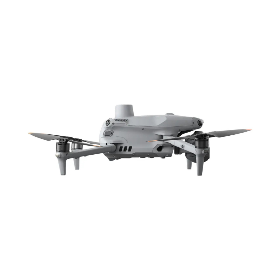
Despite carrying a three-lens camera system, RTK module, and omnidirectional sensing, the Matrice 4E folds down to 260.6 × 113.7 × 138.4mm — small enough to fit in the included hard case alongside its remote controller and spare batteries.


49 Minutes to Cover Ground
A single charge delivers up to 49 minutes of flight time and 35km of range with standard propellers in windless conditions — enough to cover large survey areas or long inspection routes without a battery swap mid-mission.
What Ships in This Package
This listing includes the aircraft, one Intelligent Flight Battery, the DJI RC Plus 2 Enterprise controller with its 7.02-inch screen, a 100W power adapter, spare propellers, a gimbal protector, and a hard storage case with shoulder strap — everything needed to start flying, though it does not include the optional multi-battery charging hub.

Every Tool for Enterprise Mapping & Inspection
Built for surveying, construction, and infrastructure teams that need precision, range, and reliable data capture in one aircraft.
3-Lens Multi-Sensor System
A 20MP 4/3" wide camera plus 48MP medium tele and tele lenses cover overview, detail, and long-range inspection.
Built-In RTK, 1cm+1ppm
Centimeter-level positioning accuracy without a separate ground station, ready for survey-grade mapping.
Omnidirectional Sensing, 200m
Binocular vision and infrared sensing detect obstacles in every direction, even at higher flight speeds.
O4 Enterprise, 1080p Live View
A stable 1080p feed to the RC Plus 2 Enterprise controller, with up to 12km of range under CE/SRRC standards.
5-Directional Oblique & 3D Capture
Automated oblique and ortho capture modes feed directly into DJI Terra for finished mapping reports.
AI-Powered Recognition
Identifies vehicles, vessels, and subjects automatically during search-and-rescue missions and routine flights.
49 Minutes, 35km Range
A 99.5Wh Intelligent Flight Battery covers large survey areas or long inspection routes on a single charge.
DJI RC Plus 2 Enterprise
A rugged 7.02-inch, 1400-nit display built for outdoor visibility and long field shifts.
16× Telephoto, 112× Hybrid
Read signage or inspect details from up to 250 meters away without needing to fly the aircraft in closer.
Built for Surveying, Construction & Infrastructure Teams
The Matrice 4E suits professional operators who need precise mapping data and long-range inspection capability in one aircraft.
Land Surveying & Mapping
RTK accuracy and oblique/ortho capture modes are built specifically for professional survey workflows.
Construction Site Monitoring
Repeated Smart 3D Capture flights track progress and generate volumetric data over time.
Mining & Quarry Volume Calculation
High-resolution ortho mapping supports accurate stockpile and excavation volume measurement.
Infrastructure Inspection
16× telephoto zoom reads instrument data and detects defects from a safe distance.
Search & Rescue Support
AI-powered recognition identifies vehicles, vessels, and people during search operations.
Agriculture & Forestry Mapping
Long flight times and wide-area capture modes suit large-acreage mapping projects.
See the DJI Matrice 4E in Action
Watch DJI's official introduction, a real-world mapping workflow, and hands-on unboxing and review coverage.
Frequently Asked Questions
What's the difference between the Matrice 4E and Matrice 4T?
Does this package include the multi-battery charging hub?
What mapping software does the Matrice 4E work with?
Is RTK built into the aircraft, or does it require a separate module?
What's the actual transmission range in India?
Accessory Upgrades for DJI Matrice 4E
Upgrade your experience with options like the Gimbal-Following Spotlight, Real-time Voice Speaker, D-RTK 3 Multifunctional Station, and the DJI RC Plus 2 Enterprise Remote Controller for improved functionality and control.
IN THE BOX
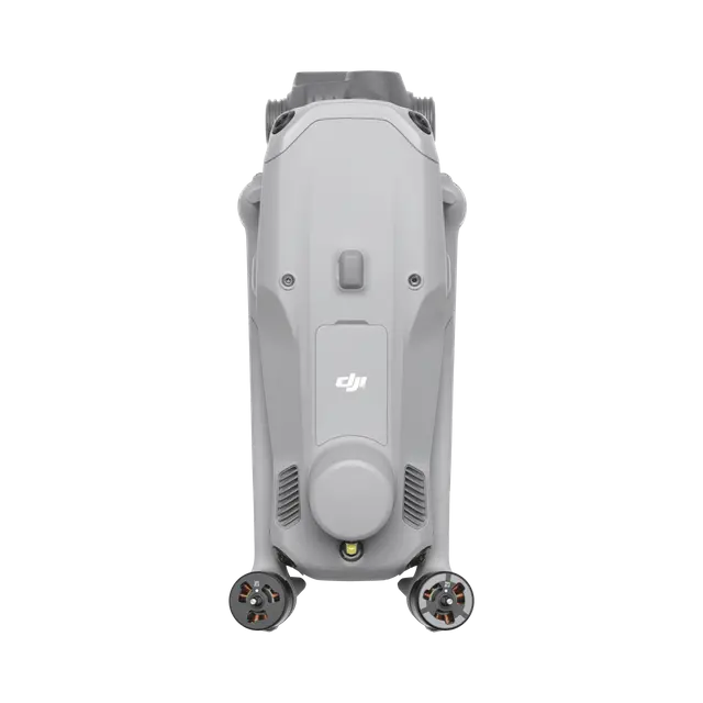
DJI Matrice 4E
× 1
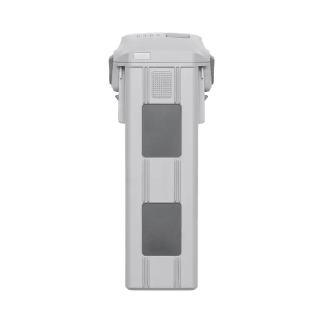
DJI Matrice 4 Series Battery
× 1
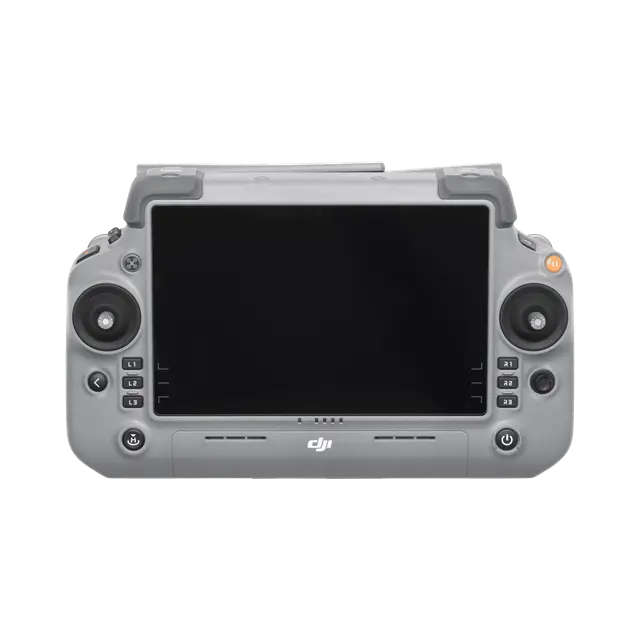
DJI RC Plus 2 Enterprise
× 1
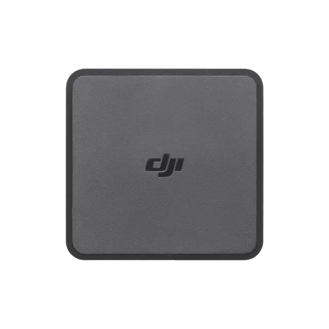
DJI 100W USB-C Power Adapter
× 1
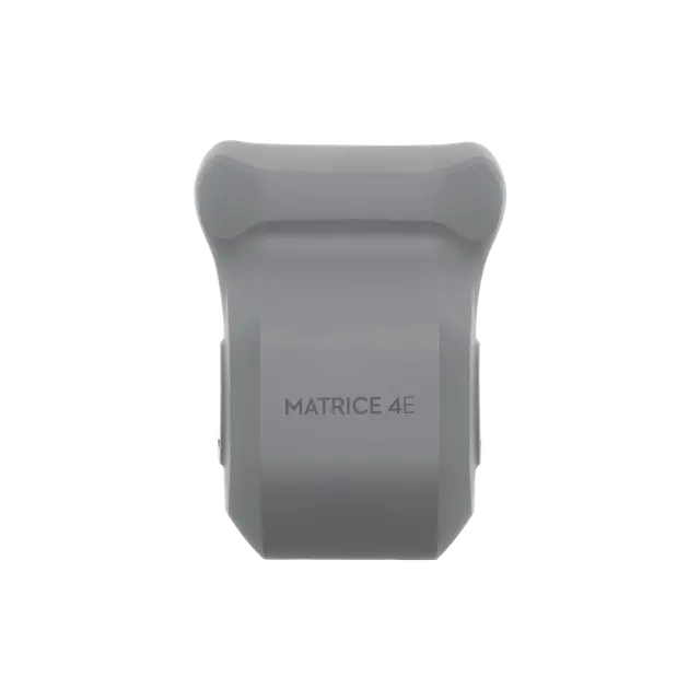
DJI Matrice 4E Gimbal Protector
× 1
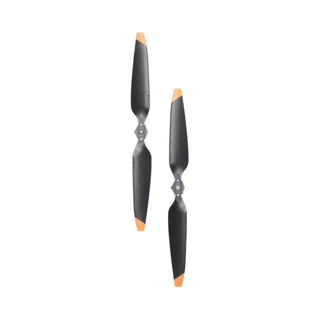
DJI Matrice 4 Series Propellers
× 3
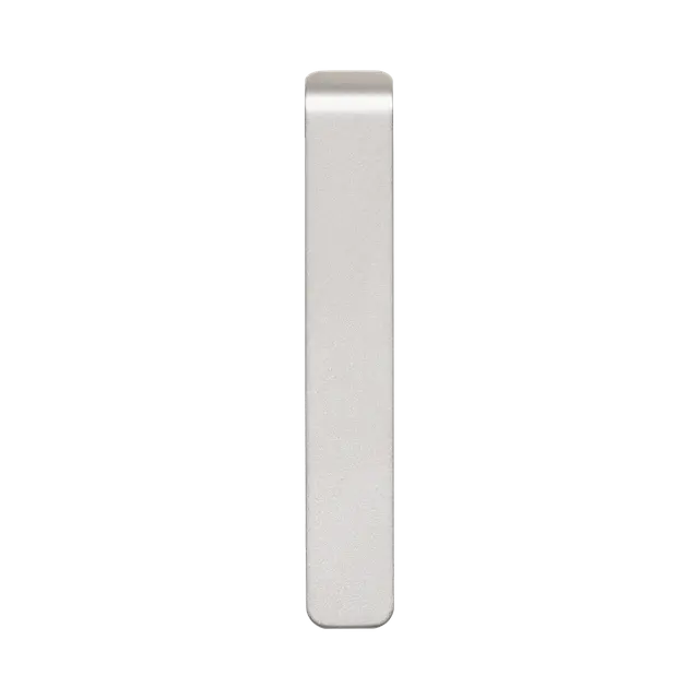
DJI Cellular Dongle 2 Pry Bar
× 1
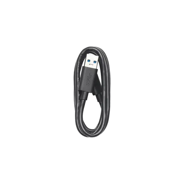
USB-A to USB-C Data Cable
× 1
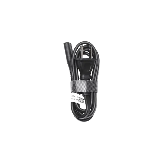
100W Power Adaptor AC Cable
× 1
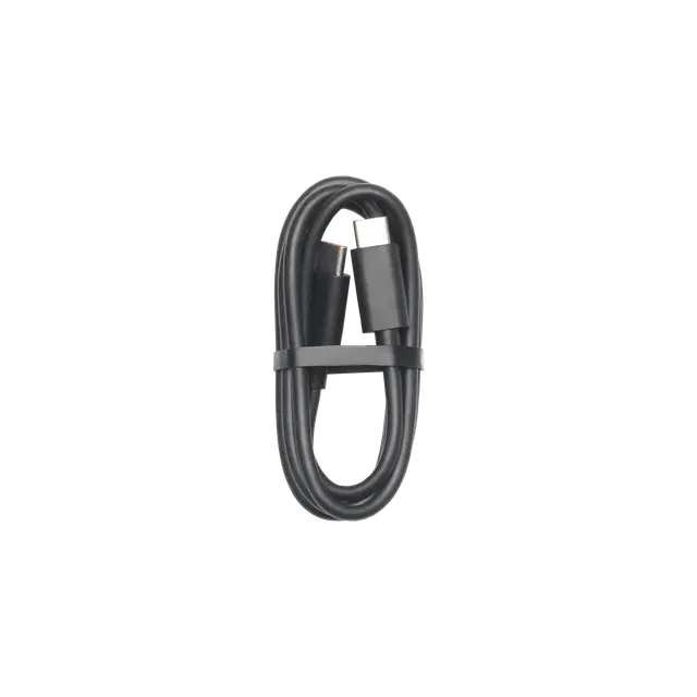
USB-C to USB-C Data Cable
× 1
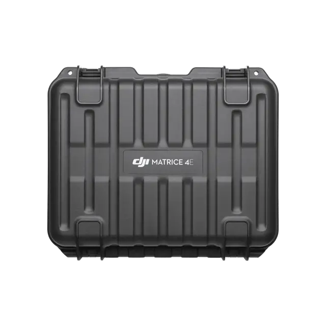
DJI Matrice 4 Series Storage Case
× 1
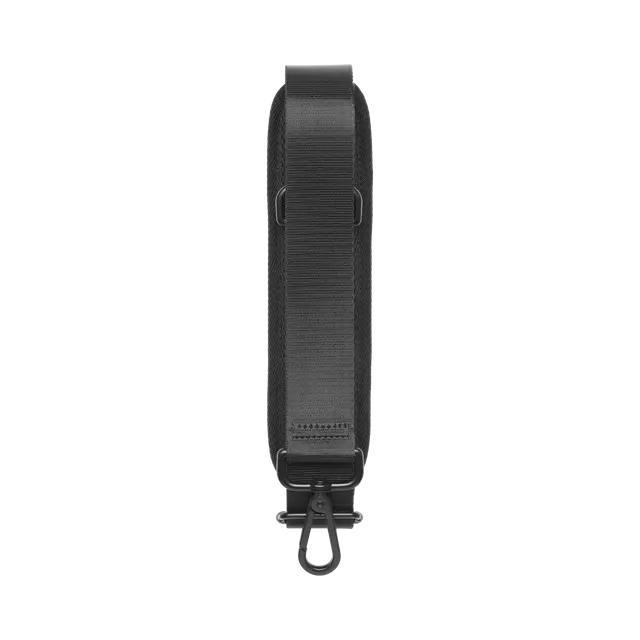
DJI Matrice 4 Series Storage Case Shoulder Strap
× 1


There are no reviews yet.