


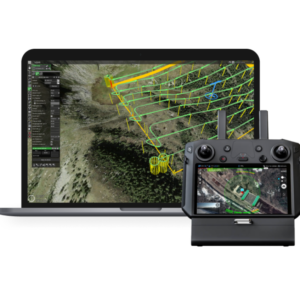
UgCS EXPERT Perpetual License
- Includes all UgCS PRO features plus tools for LiDAR surveys
- Buy once, own it forever, with one year of Support & Updates at no additional cost
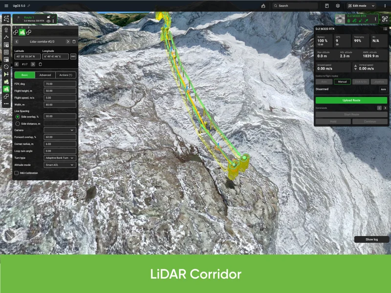
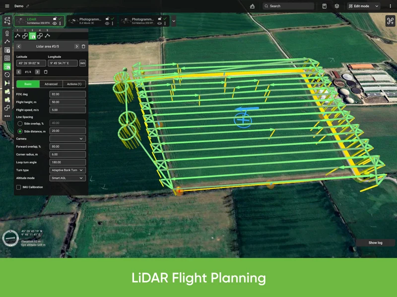
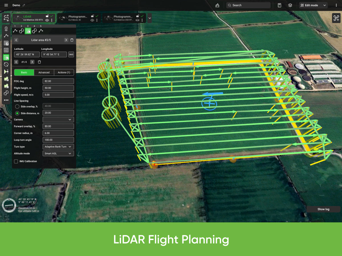
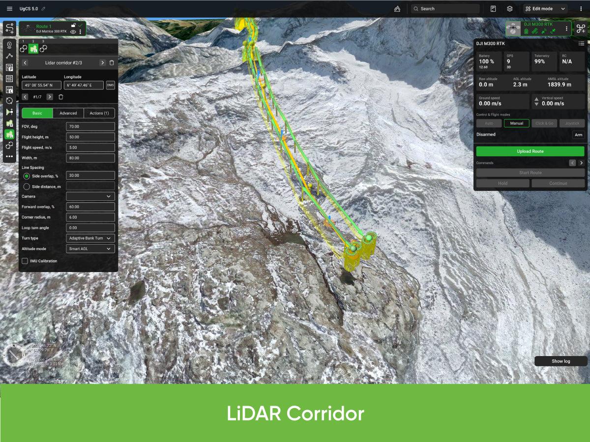
- LiDAR Area and Corridor tools, plus LiDAR flight planning based on FOV value
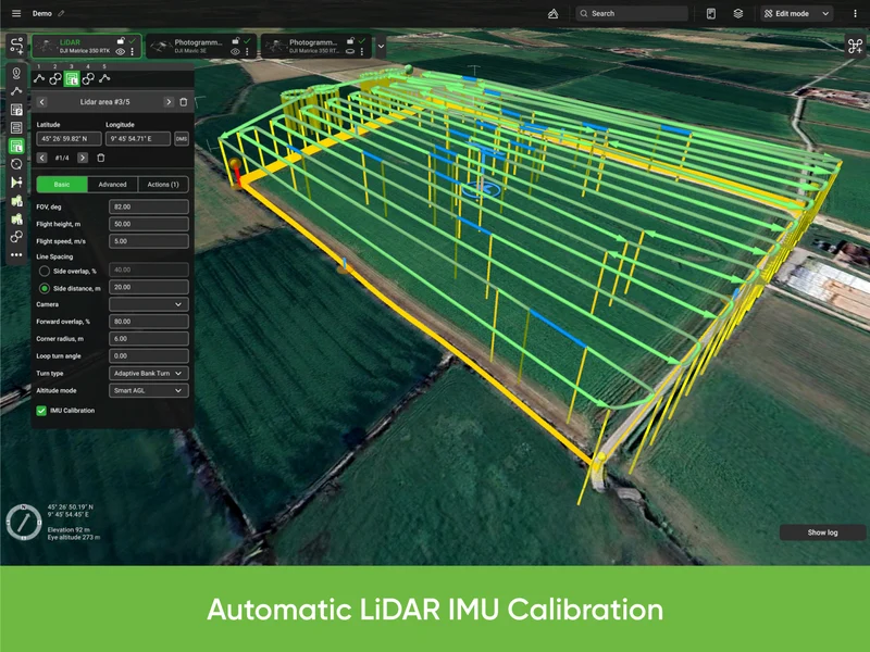
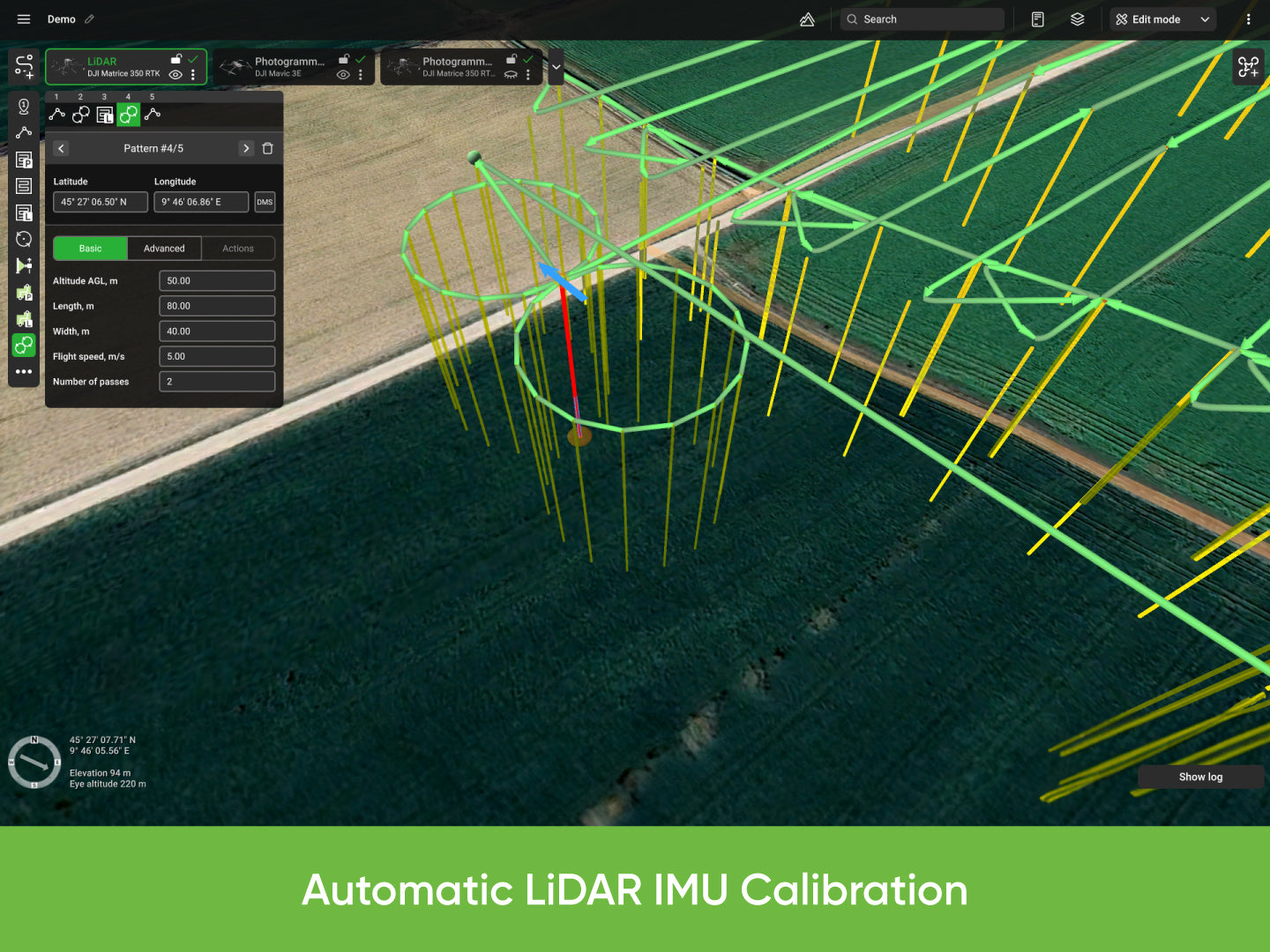
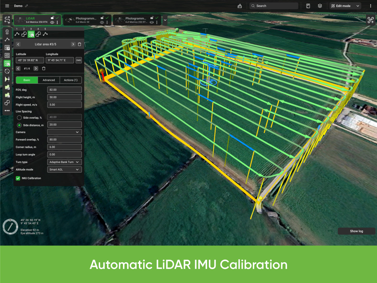
- Automated LiDAR IMU calibration patterns and the Smart AGL algorithm, which keeps an exact distance to the nearest surface
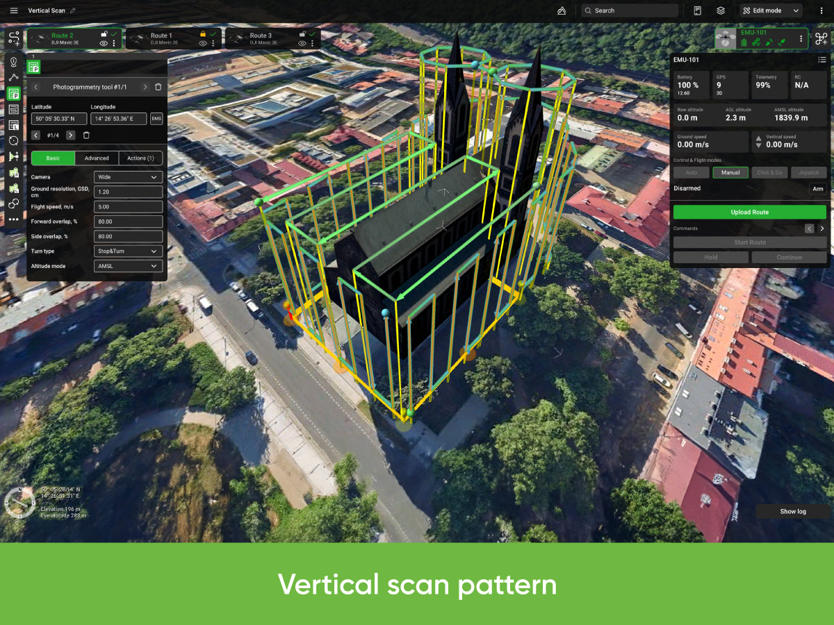
- Planning tools include Photogrammetry, Vertical (Facade) scan, Circlegrammetry, Corridor mapping, SAR and Area Scan, plus offline maps, KML/CSV import and DEM/DSM (.TIF) import
- Runs on Windows, macOS and Ubuntu 18.04. The LiDAR toolset works with DJI M300, M350, M600 and M2X0 drones, and activation covers one device
- Trusted dealerDirect manufacturer partnership
- Pan-India deliveryInsured shipping, all states
- Post-sale supportTraining + service included
What makes it work
UgCS EXPERT Perpetual License
UgCS EXPERT includes all features of UgCS PRO as well as tools for LiDAR surveys.
Buy once, own it forever. Includes one year of Support & Updates at no additional cost.

Why Choose UgCS EXPERT
UgCS EXPERT includes all features of UgCS PRO as well as tools for LiDAR surveys.
Faster LiDAR Planning
Decrease the time spent on LiDAR flight planning (up to 3 times) and let UgCS Expert pay back for itself within 1-2 projects.
Better Data Quality
Utilize industry-leading LiDAR flight planning algorithms to increase the quality of gathered data.
Automated IMU Calibration
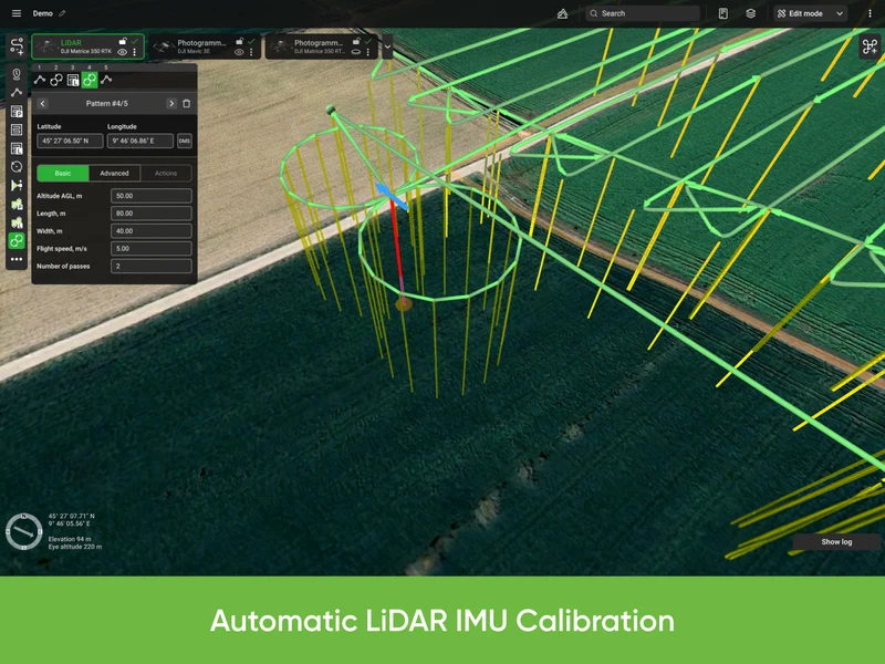
Automate LiDAR IMU calibrations using in-built calibration patterns in UgCS.
Smart AGL
Keep an exact distance to the nearest surface with the Smart AGL algorithm.
Key Features of UgCS EXPERT
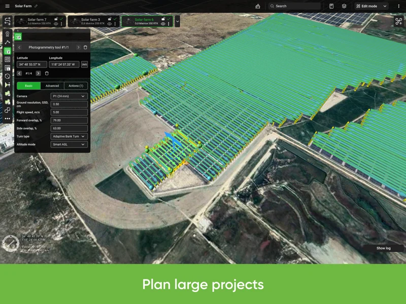
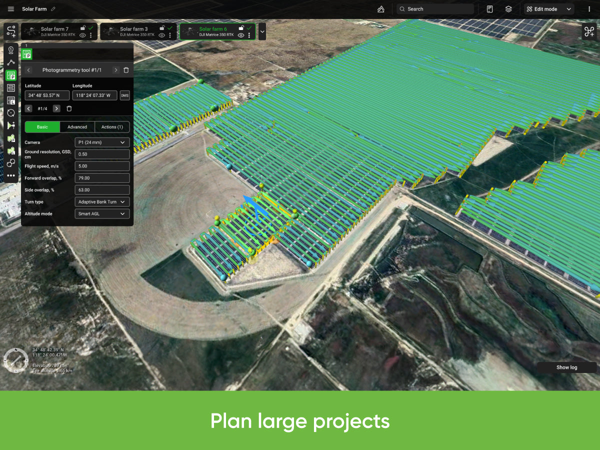
- Large Projects for magnetic surveying
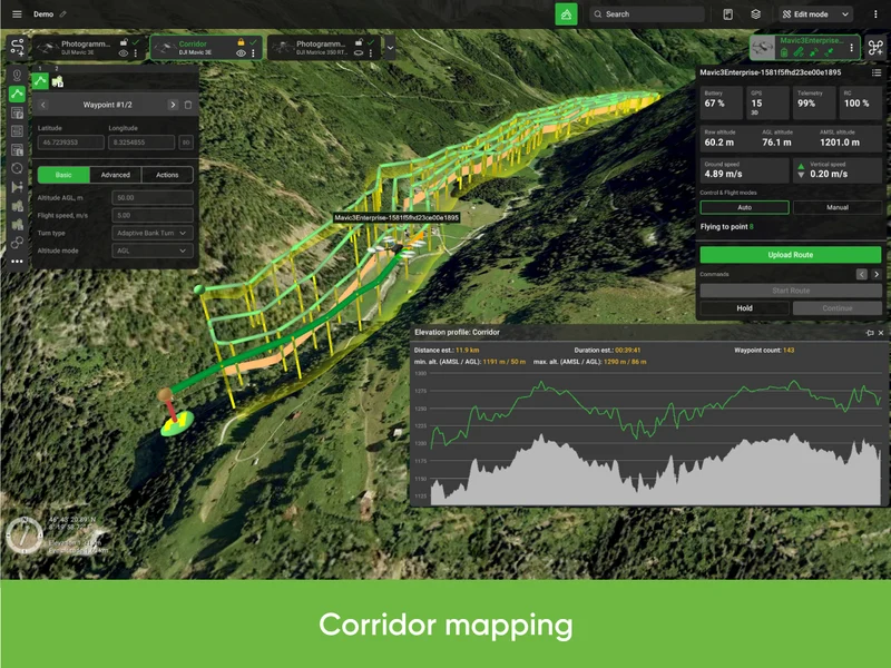
- LiDAR Area and LiDAR Corridor tools
- IMU Calibration route pattern (figure eight)
- IMU Calibration actions (figure eight, U-turn/J-hook)
- LiDAR flight planning based on FOV value
- Adjustable corner radius for smooth cornering and better data collection
- Loop turns for additional IMU calibration
- New Smart AGL algorithm
- Adjustable LiDAR area buffer size
Applications by Industry
Construction
Site surveys, road corridors, bridge and dam inspections, vertical building facade inspections.
Energy
Powerline corridors and towers, solar farm inspections.
Oil & Gas
Pipeline inspections, infrastructure monitoring.
Agriculture & Forestry
Crop and plant health monitoring, large area (>10 ha) flight planning, data gathering for creation of detailed DEM/DSM.
Search and Rescue
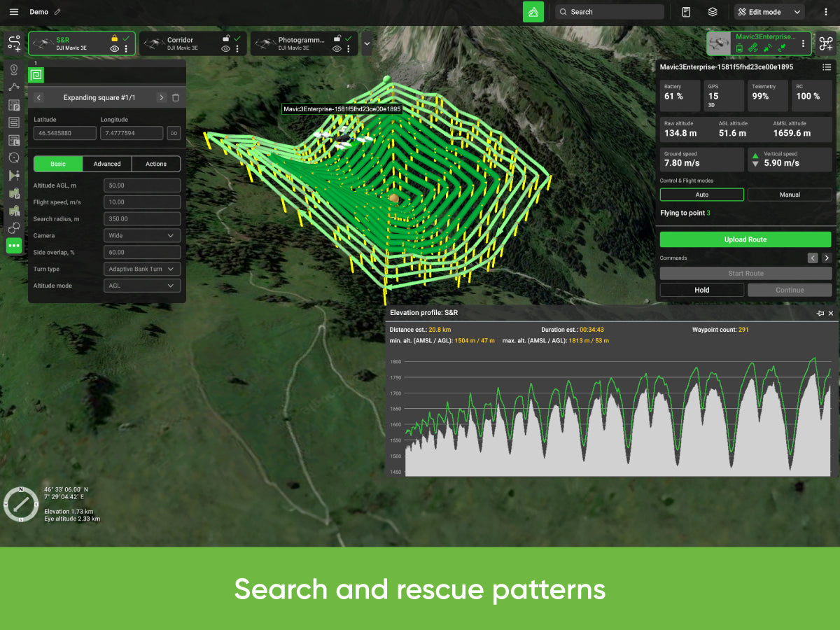
Plan search flights over large areas with changing terrain.
Mining
Quarry photogrammetry and LiDAR inspections, vertical high-wall inspections in open pit mines.
Planning Tools and More Features
Flight Planning Tools
- Photogrammetry
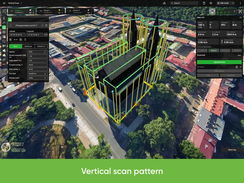
- Vertical (Facade) scan
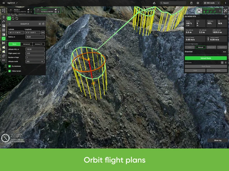
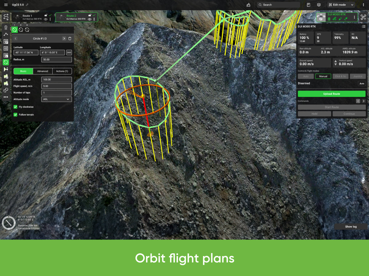
- Circlegrammetry
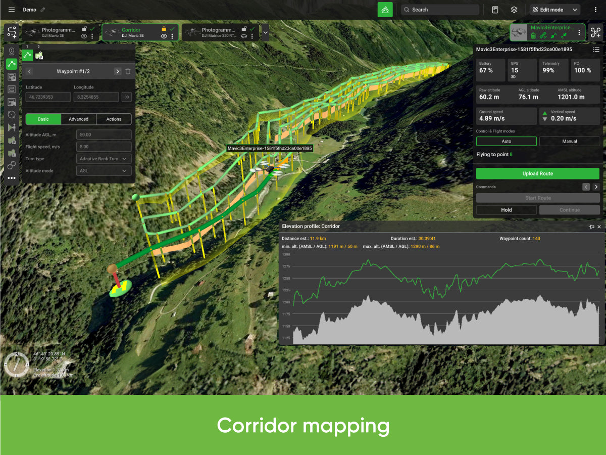
- Corridor mapping
- SAR
- Linear
- Circle
- Waypoint
- Perimeter
- Area Scan
More Features
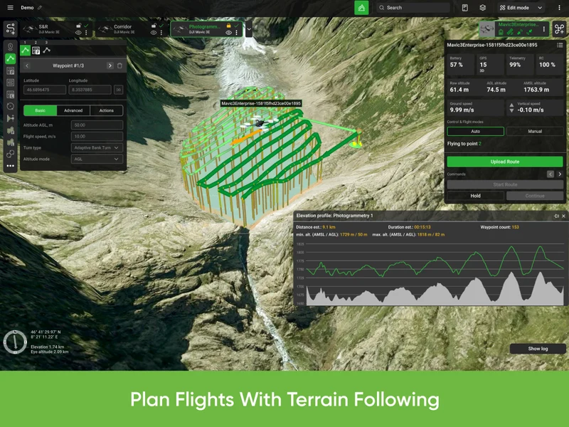
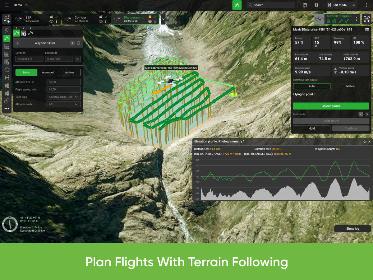
- Plan flights with terrain following
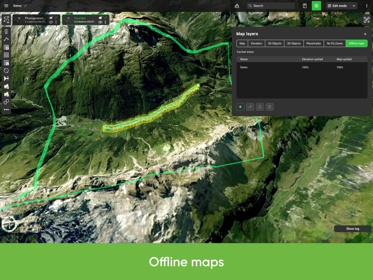
- Offline maps (fly without an internet connection)
- Route import from KML/CSV data
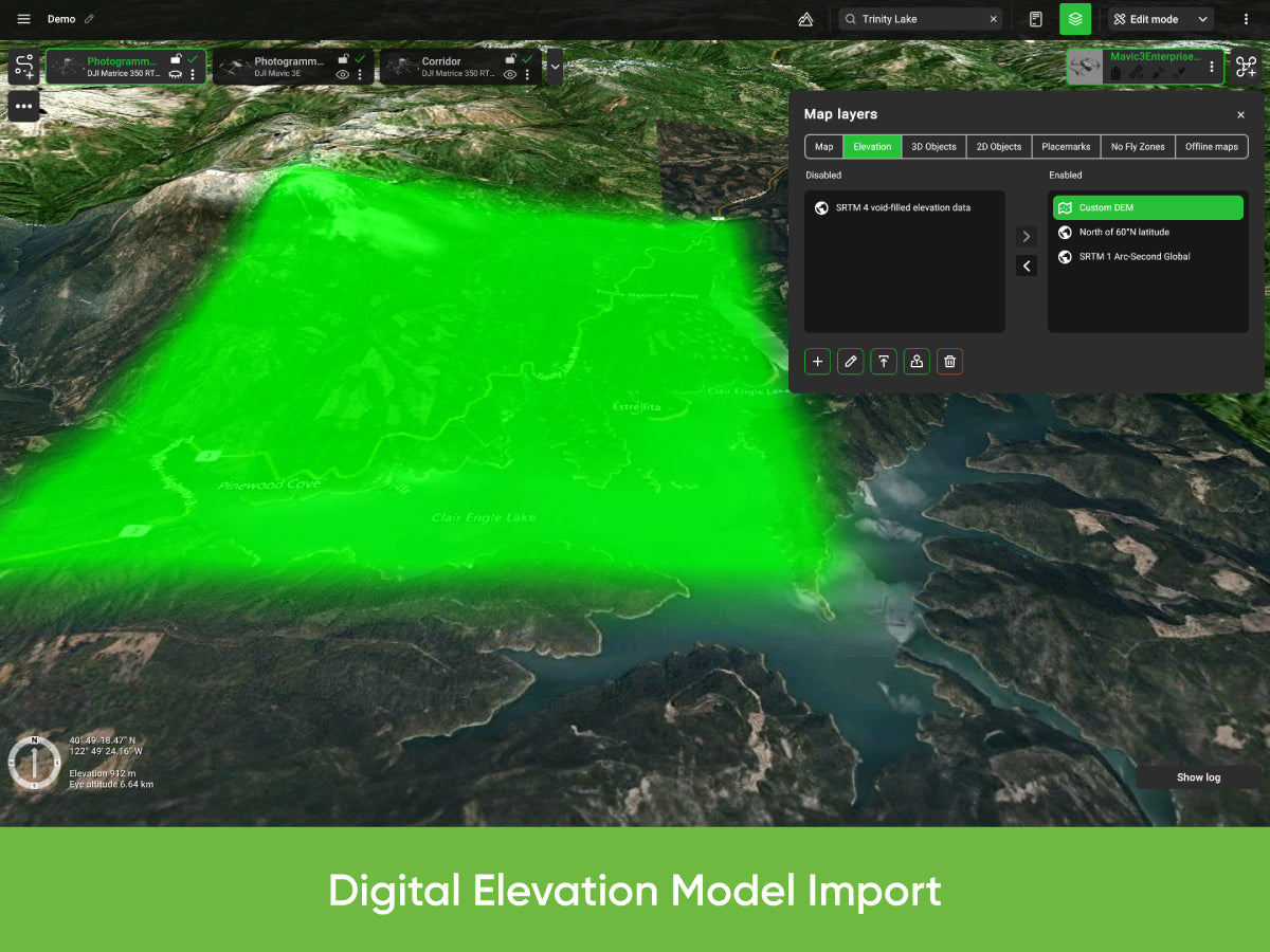
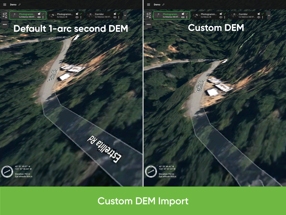
- DEM/DSM elevation data import from .TIF format
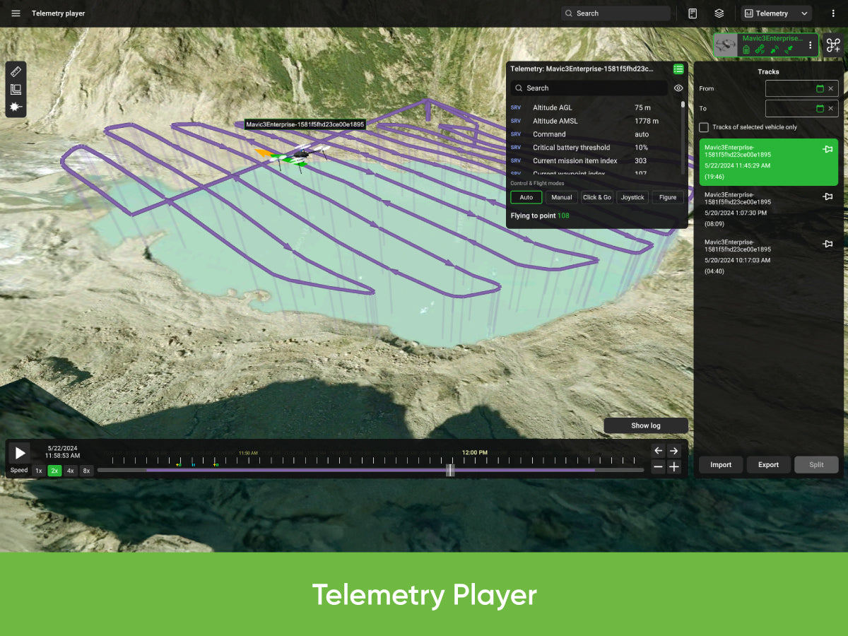
- Automatic telemetry recording
- Custom no-fly zones (NFZ)
- ADS-B Receiver support
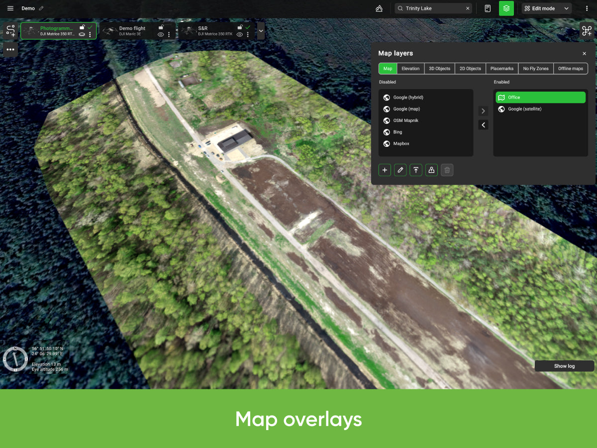
- Compatible with UgCS Mapper to process images and create map overlays
License and Compatibility
Perpetual License
Buy once, own it forever.
Includes one year of Support & Updates at no additional cost. To get technical support, software updates and new features after the first year, renew the Annual Support & Update Pack for UgCS EXPERT.
Includes activation on one device. To use it on two devices (e.g. office desktop + field laptop) simultaneously, add the Additional Device for UgCS EXPERT Perpetual License.
Compatibility
- Windows, macOS and Ubuntu 18.04
- LiDAR toolset: DJI M300, M350, M600, M2X0 (and other DJI) drones
- Support for the LiDAR toolset on other drones is coming soon
Supported LiDAR Sensors and Manufacturers
UgCS EXPERT is not restricted to any certain LiDAR sensors only. Officially supported sensors and manufacturers include:
- DJI L1
- DJI L2
- YellowScan
- Phoenix LiDAR
- RIEGL
- LIDAR USA
- GeoCue
- Rock Robotics
- GeoSun LIDAR
- 3DT Scanfly
- Topodrone
- Balko Tech
Specifications
| Product | UgCS EXPERT Perpetual License |
|---|---|
| Brand | SPH Engineering |
| SKU | UGCS-EXP-PERP |
| Type | Software, perpetual license |
| Includes | All features of UgCS PRO plus tools for LiDAR surveys |
| Support and updates | One year of Support & Updates included at no additional cost; afterwards renew the Annual Support & Update Pack for UgCS EXPERT |
| Devices | Activation on one device included; Additional Device add-on for use on two devices simultaneously |
| Operating systems | Windows, macOS, Ubuntu 18.04 |
| LiDAR toolset drones | DJI M300, M350, M600, M2X0 (and other DJI) drones; other drones coming soon |
| LiDAR sensors | Not restricted to certain sensors; officially supported manufacturers include DJI L1, DJI L2, YellowScan, Phoenix LiDAR, RIEGL, LIDAR USA, GeoCue, Rock Robotics, GeoSun LIDAR, 3DT Scanfly, Topodrone, Balko Tech |
Screenshots
Documentation and Support
Frequently Asked Questions
What does UgCS EXPERT include?
UgCS EXPERT includes all features of UgCS PRO as well as tools for LiDAR surveys.
Is this a perpetual license?
Yes. Buy once, own it forever. It includes one year of Support & Updates at no additional cost.
What happens after the first year?
To get technical support, software updates and new features after the first year, renew the Annual Support & Update Pack for UgCS EXPERT.
Can I use it on two computers?
The license includes activation on one device. To use it on two devices (e.g. office desktop + field laptop) simultaneously, add the Additional Device for UgCS EXPERT Perpetual License.
Which drones work with the LiDAR toolset?
The UgCS EXPERT LiDAR toolset is currently only compatible with DJI M300, M350, M600, M2X0 (and other DJI) drones. Support for other drones is coming soon.
Which LiDAR sensors are supported?
UgCS EXPERT is not restricted to any certain LiDAR sensors only. Officially supported sensors and manufacturers include DJI L1, DJI L2, YellowScan, Phoenix LiDAR, RIEGL, LIDAR USA, GeoCue, Rock Robotics, GeoSun LIDAR, 3DT Scanfly, Topodrone and Balko Tech.
Which operating systems are supported?
Windows, macOS and Ubuntu 18.04.
The full sheet
Related products
-
·XBM·00

-
·XBM·01
-
·XBM·02

-
·XBM·03




There are no reviews yet.