

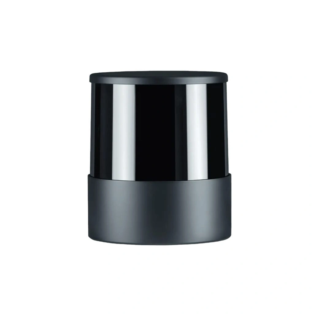

Unitree 3D lidar-16 channels
- Designed for Unitree Robots – Compatible with Unitree Go1 Edu, AlienGo, and B1 robots for advanced environmental perception and autonomous navigation. (Compatibility with G1 Edu is not officially confirmed.)
- 16-Channel 3D LiDAR Sensor – Delivers high-density 3D point cloud data for accurate environmental mapping, localization, and robotic perception.
- Supports Autonomous Navigation – Provides reliable spatial data for intelligent navigation, autonomous positioning, and efficient path planning.
- Dynamic Obstacle Detection & Avoidance – Enables robots to detect and respond to moving and stationary obstacles, improving operational safety and navigation performance.
- Real-Time 3D Mapping – Ideal for simultaneous localization and mapping (SLAM), allowing robots to build and update detailed 3D maps of their surroundings.
- Open-Source Development Support – Includes access to the LiDAR navigation source code, allowing developers to customize and extend robotics applications. (Some documentation may be available only in Chinese.)
- Optimized for Robotics & AI – Suitable for robotics research, autonomous inspection, warehouse automation, education, and industrial AI development.
- Professional OEM Integration – Designed for seamless integration with supported Unitree robotic platforms and compatible software environments.
- Reliable Environmental Perception – Enhances robot awareness for improved localization, navigation, terrain understanding, and autonomous operation.
- Built for Advanced Robotics Applications – An excellent solution for developers, universities, research institutions, and industrial automation projects requiring dependable 3D sensing.
- Trusted dealerDirect manufacturer partnership
- Pan-India deliveryInsured shipping, all states
- Post-sale supportTraining + service included
What makes it work
Unitree 3D LiDAR 16 Channels
The Unitree 3D LiDAR 16 Channels is a genuine RoboSense 16-beam mechanical LiDAR built for real-time 3D mapping, SLAM, and autonomous navigation on compatible Unitree platforms.
Up to 150m Range
Go1 EDU / AlienGo / B1
Open-Source Dev Support
300,000 Points/Sec
Full Specifications
| Specification | Details |
|---|---|
| Product | Unitree 3D LiDAR 16 Channels — a genuine RoboSense 16-beam mechanical LiDAR (RS-LiDAR-16 / Helios-16 family) |
| Compatible Platforms | Unitree Go1 EDU, AlienGo, and B1 (compatibility with the G1 EDU is not officially confirmed) |
| Channels | 16-channel 3D point cloud |
| Field of View | 360° horizontal; approximately 30° vertical (±15°) |
| Measuring Range | Approximately 0.2m to 150m (at 20% reflectivity); roughly 80m at 10% reflectivity |
| Accuracy | Approximately ±2cm (typical) |
| Point Rate | 300,000 points/second (single return), up to 600,000 points/second (dual return) |
| Frame Rate | Selectable 5Hz, 10Hz, or 20Hz |
| Laser | 905nm, Class 1 eye-safe |
| xBoom SKU | xboom-144938 |
| Specification | Details |
|---|---|
| Power Supply | DC 9-32V input, approximately 12W typical power consumption |
| Dimensions | Approximately 109mm diameter x 80.7mm height |
| Weight | Approximately 0.87kg (without cable) |
| Operating Temperature | -10°C to 60°C |
| IP Rating | IP67 dust and water resistance |
| Development Support | Open-source LiDAR navigation source code included (some documentation available only in Chinese) |
| Capabilities | Real-time 3D SLAM mapping, autonomous navigation, path planning, and dynamic obstacle detection and avoidance |
Real 3D Mapping for Legacy Unitree Platforms
Unitree 3D LiDAR 16 Channels: Genuine RoboSense Hardware for SLAM and Navigation
This is a genuine RoboSense 16-channel mechanical LiDAR, built for the Go1 EDU, AlienGo, and B1 platforms (compatibility with the G1 EDU is not officially confirmed, so check before assuming it fits). It scans a full 360° horizontally and roughly 30° vertically across its 16 beams, streaming up to 300,000 points per second on a single return — or 600,000 with dual-return enabled — out to a range of 150m, enough for genuine outdoor SLAM and mapping work, not just small indoor test spaces.
Beyond the raw sensor, xBoom also includes access to open-source LiDAR navigation source code, so developers can customize and extend the navigation stack rather than working with a closed black box (note that some of that documentation is only available in Chinese). Between the point cloud density, the 150m range, and the open development access, this sensor suits real robotics research and autonomous navigation work on a compatible Unitree platform, rather than just basic obstacle-avoidance duties.
Genuine 16-Channel RoboSense LiDAR
A real mechanical 3D LiDAR, not a simplified 2D substitute.
Real-Time 3D SLAM Mapping
Builds and updates detailed 3D maps of the robot’s surroundings.
Up to 150m Range
Enough reach for genuine outdoor mapping and navigation work.
Open-Source Dev Support
Access to LiDAR navigation source code for custom development.
The Sensor Unit
The RoboSense 16-channel LiDAR unit — a compact mechanical scanner that mounts on top of the robot’s chassis for full 360° 3D coverage.
Built for Real Autonomous Navigation
The Unitree 3D LiDAR 16 Channels brings genuine 3D perception and mapping to compatible Unitree platforms.
📡
16-Channel 3D Point Cloud
Dense multi-beam scanning for accurate environmental mapping.
🗺️
Real-Time 3D SLAM
Builds and updates detailed 3D maps as the robot moves.
🚧
Dynamic Obstacle Avoidance
Detects moving and stationary obstacles for safer navigation.
📏
Up to 150m Measuring Range
Covers both indoor spaces and larger outdoor environments.
💻
Open-Source Navigation Code
Customize and extend the robotics navigation stack directly.
🛡️
IP67-Rated Housing
Dust and water resistance for reliable outdoor operation.
Built for Teams Running a Go1 EDU, AlienGo, or B1
The Unitree 3D LiDAR 16 Channels suits operators who need dense 3D perception and open development access on a compatible Unitree platform.
SLAM & Autonomous Mapping
Build dense 3D maps for reliable localization and navigation.
Robotics Research
Open-source access supports serious custom development work.
Warehouse Automation
Reliable navigation and obstacle detection for automated tasks.
Autonomous Inspection
Long-range 3D sensing for outdoor and facility inspection tasks.
Education & AI Development
A well-documented platform for teaching 3D SLAM concepts.
Industrial AI Development
Dense point cloud data for custom perception model training.
See the 3D LiDAR in Use
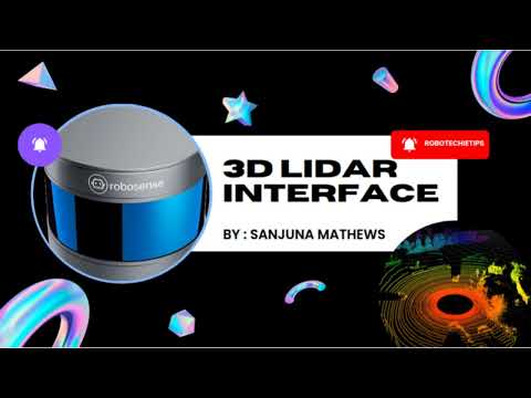
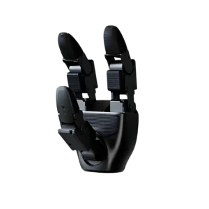
A real SLAM demo using this exact sensor class on the Go1, a dedicated ROS point-cloud tutorial, and the Go1 platform this sensor mounts to.




There are no reviews yet.