

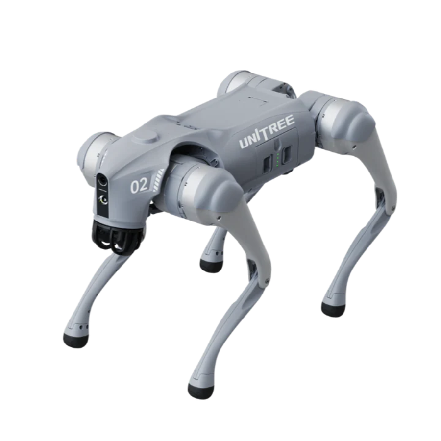
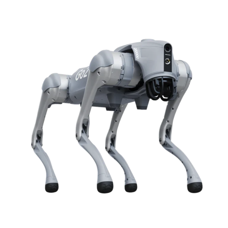
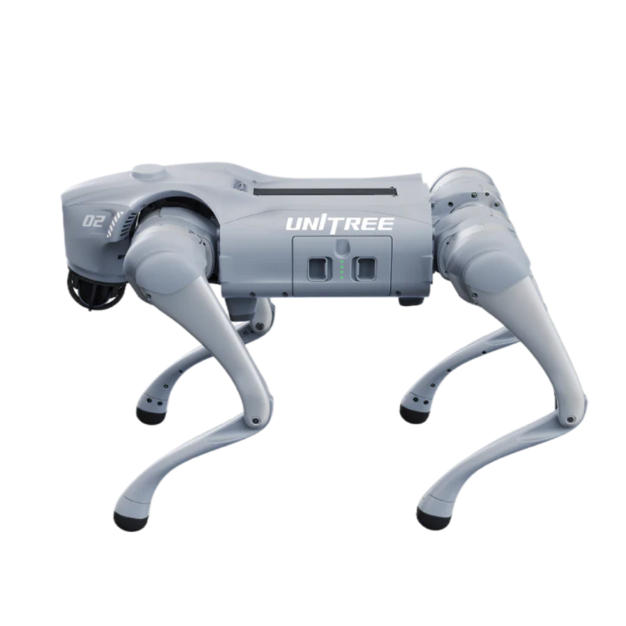
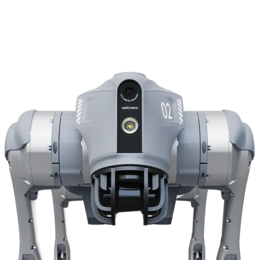
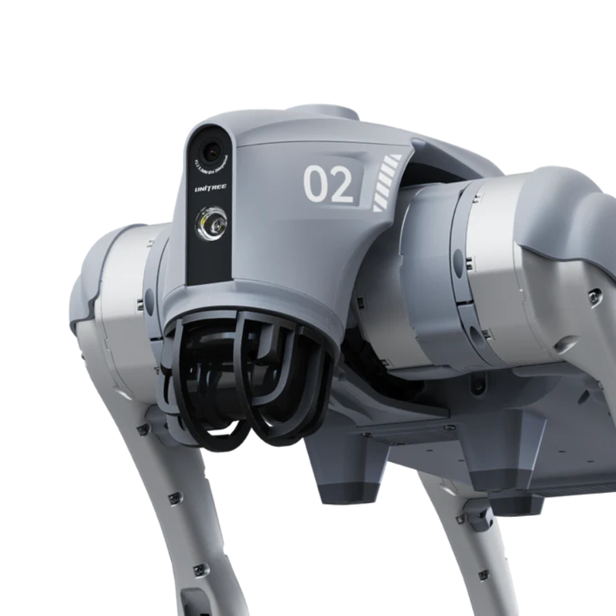
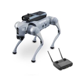
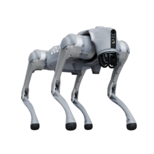
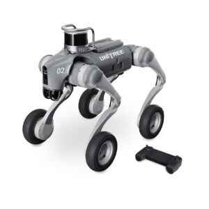
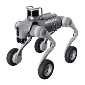
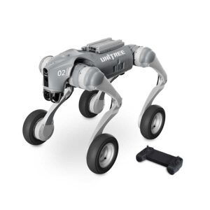
Unitree Go2 Pro - Robot Dog (With Controller)
- Advanced Mobility: Agile quadruped design for smooth movement across diverse terrains.
- AI Integration: Intelligent navigation with real-time obstacle detection and environment mapping.
- Payload Capability: Customizable to carry cameras, sensors, and other equipment for versatile tasks.
- Durable and Portable: Lightweight build with robust performance for indoor and outdoor use.
- Multi-Application Use: Perfect for surveillance, inspections, education, and robotics research.
- Remote Controller included with the unit.
- 3 months · ₹144,068
- 6 months · ₹72,034
- 9 months · ₹48,023
Select Snapmint at checkout · Available on orders above ₹3,000 · Subject to eligibility
- Product Variation Go2 Air, Go2 Edu, Go2 Pro
- Trusted dealerDirect manufacturer partnership
- Pan-India deliveryInsured shipping, all states
- Post-sale supportTraining + service included
What makes it work
Introducing Unitree Go 2 Pro Robotic, the Driving All-Terrain
Infinite Revolution with the New Creature of Embodied AI Unitree Go2 Pro Robot Dog
The Unitree Go2 Robot dog is a next-generation quadruped robot designed for advanced mobility, adaptability, and AI-powered functionality. Equipped with Unitree’s proprietary 4D LIDAR technology, it provides ultra-wide 360°x90° recognition, enabling precise navigation across various terrains with minimal blind spots. Through large-scale AI simulation, the Unitree Go2 Pro performs sophisticated movements like upside-down walking, obstacle climbing, and adaptive rollover with remarkable stability. It also offers flexible battery options, extending operational time, and features an Intelligent Side-follow System for improved positioning accuracy. Ideal for education, research, and industrial applications, the Unitree Go2 Pro redefines robotic capabilities in an easy-to-use, high-tech package.
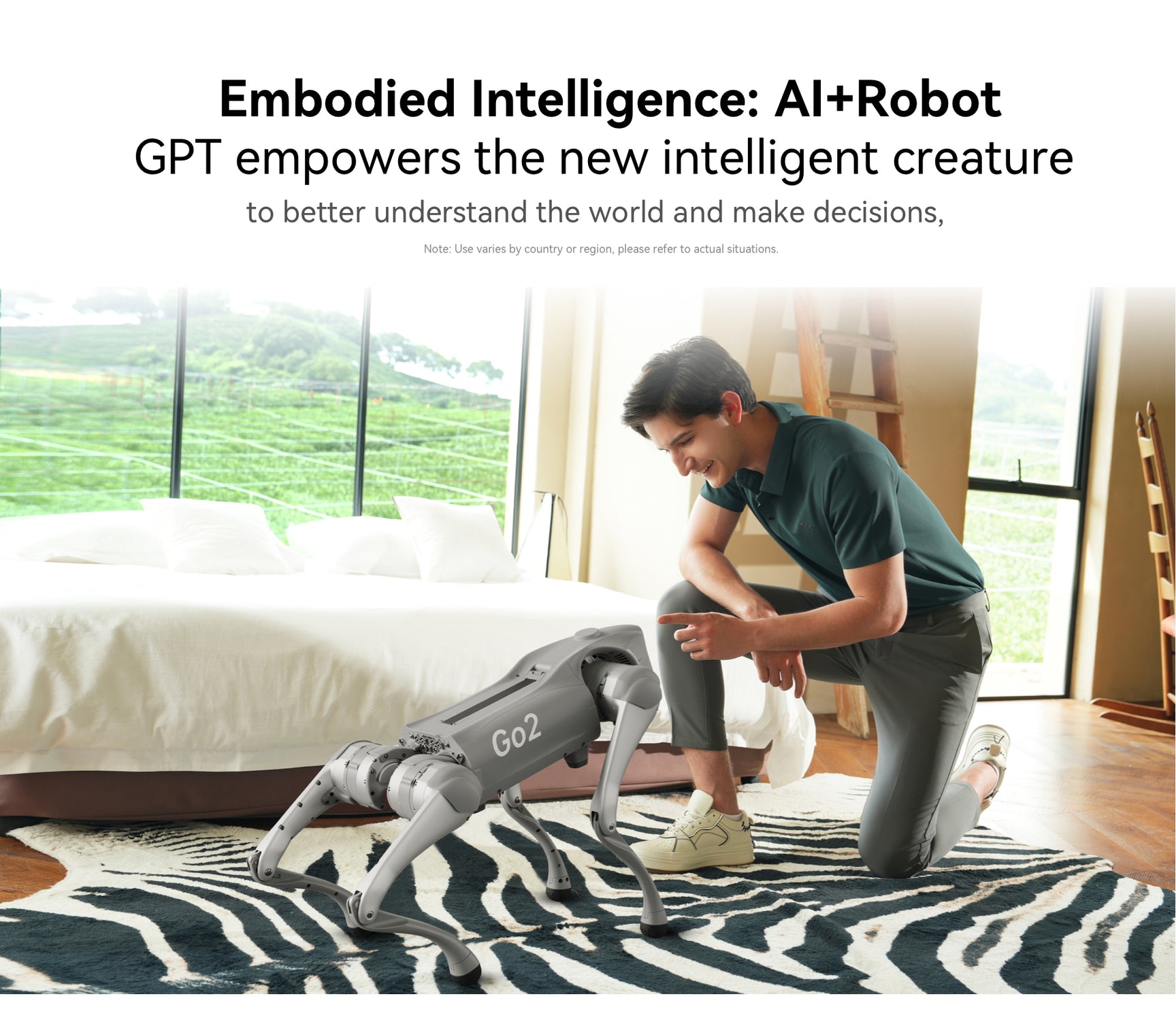
Unitree Go2 Pro Robot Dog – Additional Features
Advanced AI Mode
Through large-scale AI simulation training, the Go2 robot has learned advanced gaits such as upside-down walking, adaptive roll-over, and climbing over obstacles, with excellent flexibility and stability at the same time.
Various Actions and poses
Go2 boasts a variety of poses such as jumping, stretching, shaking hands, cheering, pouncing, and sitting down.
Battery capacity and endurance upgraded by 150%
Go2 is equipped with a battery capacity increased to 8,000mAh, as a 15,000mAh ultra-long life battery is optional, and a voltage increased to 28.8V to improve motor efficiency, power and stability.
ISS2.0 Intelligent Side-follow System
By adopting the new wireless vector positioning and control technology, the positioning accuracy is technically upgraded by 50%, the remote control distance is over 30m, and combined with the optimised obstacle avoidance strategy, it can make the robot better traverse complex terrain.
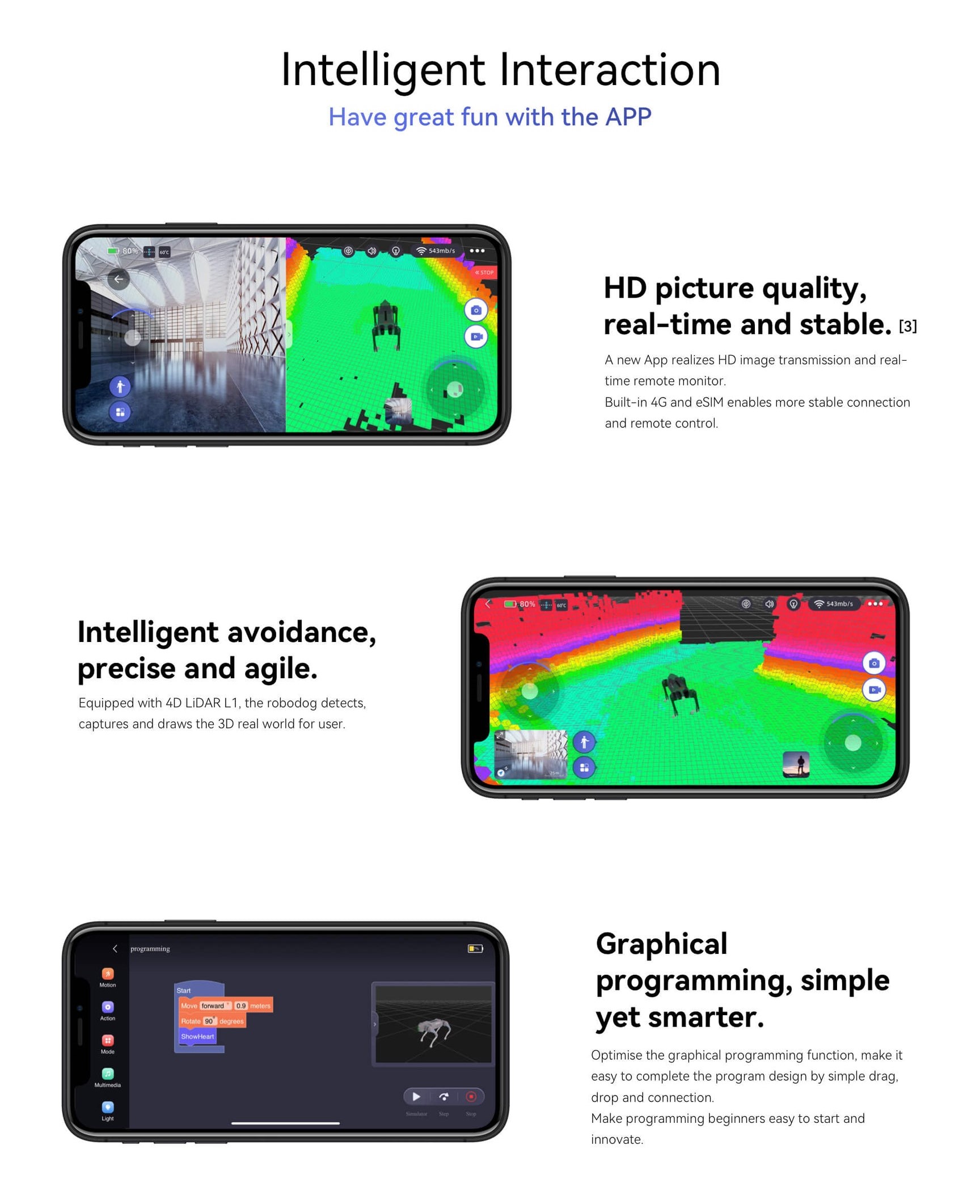
3D LiDAR Mapping
With L1 LiDAR and a dedicated App, you can construct point cloud map within a certain area, and specify a path for Go2 to move autonomously.
OTA Updates
Continuously advancing and becoming smarter. With user permission, the robot seamlessly connects to a cloud-based OTA service, allowing it to update its own software and enhance the overall user experience.
Standard Ultra-wide 4D LIDAR upgrades Recongnition system by 200%
Go2 features with Unitree’s self-developed 4D LIDAR L1 with 360°x90°hemispherical ultra-wide recognition, super small blind spot and a minimum detection distance as low as 0.05m, which makes Go2 realise all-terrain recognizing.
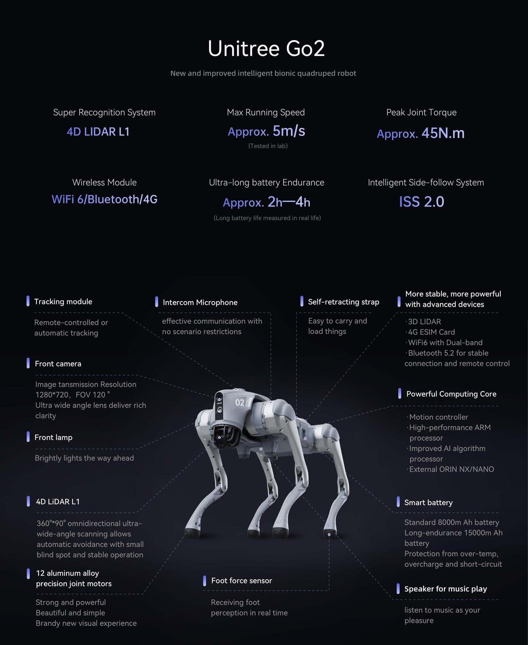
Specifications Comparison for different Models
Mechanical Specifications
| Specification | AIR | PRO | EDU |
|---|---|---|---|
| Dimension of standing | 70 x 31 x 40 cm | 70 x 31 x 40 cm | 70 x 31 x 40 cm |
| Dimension of crouching | 76 x 31 x 20 cm | 76 x 31 x 20 cm | 76 x 31 x 20 cm |
| Weight (with battery) | About 15 kg | About 15 kg | About 15 kg |
| Material | Aluminium alloy + High strength engineering plastic | Aluminium alloy + High strength engineering plastic | Aluminium alloy + High strength engineering plastic |
Electric Parameter
| Specification | AIR | PRO | EDU |
|---|---|---|---|
| Voltage | 28V ~ 33.6V | 28V ~ 33.6V | 28V ~ 33.6V |
| Peaking capacity | About 3000W | About 3000W | About 3000W |
| Payload | ≈ 7 kg (MAX ~ 10 kg) | ≈ 8 kg (MAX ~ 10 kg) | ≈ 8 kg (MAX ~ 12 kg) |
Performance Parameters
| Specification | AIR | PRO | EDU |
|---|---|---|---|
| Speed | 0 ~ 2.5 m/s | 0 ~ 3.5 m/s | 0 ~ 3.7 m/s (MAX ~ 5 m/s) |
| Max Climb Drop Height | About 15 cm | About 16 cm | About 16 cm |
| Max Climb Angle | 30° | 40° | 40° |
| Basic Computing Power | – | 8-core High-performance CPU | 8-core High-performance CPU |
| Max Torque | – | About 45 N.m | About 45 N.m |
Kinematic Parameters
| Specification | AIR | PRO | EDU |
|---|---|---|---|
| Aluminum knee joint motor | 12 set | 12 set | 12 set |
| Range of Motion (body) | -48° ~ 48° | -48° ~ 48° | -48° ~ 48° |
| Range of Motion (thigh) | -200° ~ 90° | -200° ~ 90° | -200° ~ 90° |
| Range of Motion (shank) | -156° ~ 48° | -156° ~ 48° | -156° ~ 48° |
Force Sensor Parameters
| Specification | AIR | PRO | EDU |
|---|---|---|---|
| Intra-joint circuit (knee) | ● | ● | ● |
| Joint Heat Pipe Cooler | ● | ● | ● |
| Super-wide-angle 3D LiDAR | ● | ● | ● |
| Wireless Vector Positioning Tracking Module | ● | ● | ● |
| HD Wide-angle Camera | ● | ● | ● |
| Foot-end force sensor | ○ | ○ | ● |
Feature List
| Feature | AIR | PRO | EDU |
|---|---|---|---|
| Basic Action | ● | ● | ● |
| Auto-scaling strap | ○ | ○ | ● |
| Upgraded Intelligent OTA | ● | ● | ● |
| RTT 2.0 image transmission | ● | ● | ● |
| Graphical programme | ● | ● | ● |
| Front lamp | ● | ● | ● |
| WiFi6 with Dual-band | ● | ● | ● |
| Bluetooth 5.2/4.2/2.1 | ● | ● | ● |
| 4G module (Only supports mainland China and Europe) | ○ | ○ | ● |
| Voice Function | ○ | ○ | ● |
| ISS 2.0 Intelligent side-follow system | ○ | ○ | ● |
| Intelligent detection and avoidance | ○ | ○ | ● |
| Charging Pile Compatibility | ● | ● | ● |
| Secondary development | ● | ● | ● |
Accessories
| Accessory | AIR | PRO | EDU |
|---|---|---|---|
| Manual controller | optional | optional | optional |
| High computing power module | – | – | Nvidia Jetson Orin (optional)
(40~100 tops computing power) |
| Smart battery | standard (8000mAh) | standard (8000mAh) | long endurance (15000mAh) |
| Battery life | About 1-2h | About 1-2h | About 2-4h |
| Charger | standard (33.6V 3.5A) | standard (33.6V 3.5A) | fast charge (33.6V 9A) |
FAQs related to Unitree Go2 Pro Robot Dog
What is the difference between the Unitree Go2 AIR, PRO, and EDU models?
The primary differences among these models lie in payload capacity, maximum speed, computing power, and available accessories. The EDU version is designed for research and development with advanced computing options like Nvidia Jetson Orin and higher battery capacity.
How does the 4D LIDAR enhance the Go2’s navigation capabilities?
The 4D LIDAR provides ultra-wide 360°x90° hemispherical recognition with minimal blind spots. This allows the robot to navigate complex terrains and detect obstacles as close as 0.05m, making it suitable for all-terrain applications.
Can the Go2 operate autonomously, and if so, how is it controlled?
Yes, the Go2 can operate autonomously using 3D LiDAR mapping and its ISS 2.0 Intelligent Side-follow System. Users can set paths and create point cloud maps via the dedicated app for autonomous navigation.
What is the battery life of the Unitree Go2, and are there upgrade options?
The standard battery life is around 1-2 hours with the 8000mAh battery. The EDU model offers an optional 15000mAh battery, extending operational time to about 2-4 hours.
What type of computing power does the Go2 support, especially in the EDU model?
The AIR and PRO models come with 8-core high-performance CPUs, while the EDU model supports an optional Nvidia Jetson Orin for higher AI and computing requirements, ideal for complex processing tasks in research environments.
How does the Intelligent Side-follow System (ISS 2.0) work, and what are its benefits?
ISS 2.0 utilizes wireless vector positioning, improving accuracy by 50% over previous systems. It allows Go2 to follow users or objects more accurately, even in challenging environments with obstacles.
Can the Unitree Go2 handle stairs or uneven terrain?
Yes, with a maximum climbing angle of 40° (PRO and EDU models) and advanced AI-driven mobility, the Go2 is capable of navigating stairs and uneven surfaces effectively.
Is it possible to program custom actions for the Go2?
Yes, the Go2 supports graphical programming, allowing users to create and customize actions. This feature is particularly useful in educational and research applications for experimenting with different movement patterns.
Does the Go2 support real-time monitoring and control over WiFi or Bluetooth?
Yes, the Go2 is equipped with WiFi6 dual-band and Bluetooth 5.2/4.2/2.1, allowing for real-time control, monitoring, and image transmission (RTT 2.0) over wireless connections.
What after-sales service and warranty options are available for the Unitree Go2?
The Go2 comes with a 1-year warranty and after-sales support, covering repairs and maintenance under specific terms.
The full sheet
| Weight | 895 g |
|---|---|
| Dimensions | 10.5 × 9.6 × 3.6 in |
| Product Variation | Go2 Air, Go2 Edu, Go2 Pro |
Related products
-
·LND·00
-
·LND·01
-
·LND·02
-
·LND·03



There are no reviews yet.