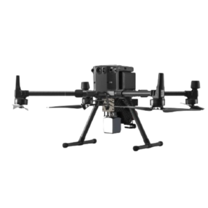
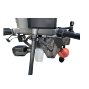
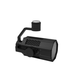
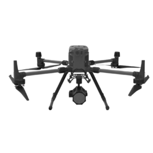
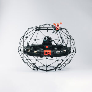
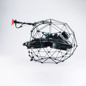
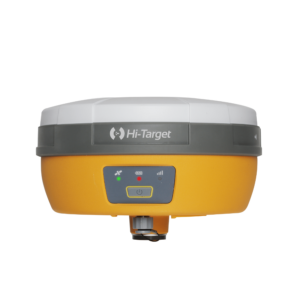
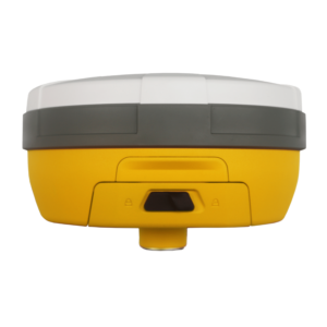
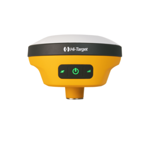
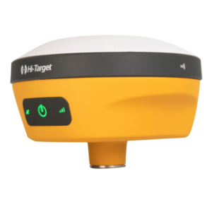
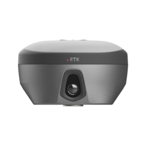
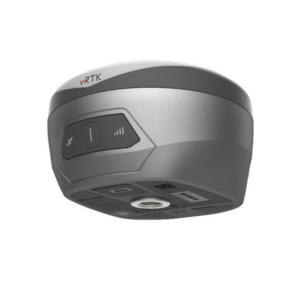
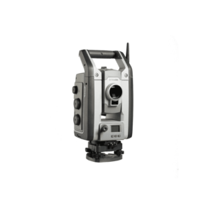
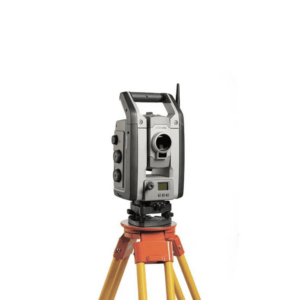
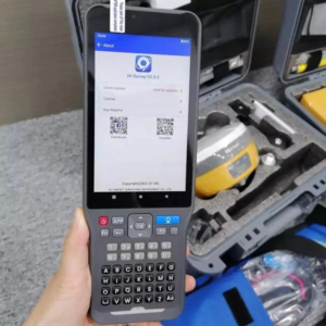
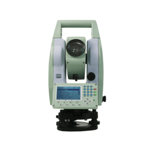
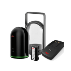
Xboom offers an extensive range of professional survey equipment, including survey drones fitted with high‑resolution mapping cameras (e.g. DJI Inspire 3, Parrot Anafi Ai) for aerial data capture across construction, bridges, roads, dams, and power infrastructure. Additionally, their land survey & LiDAR kits include ADTi 42 MP and 61 MP drone mapping cameras, FJD Trion S1 3D LiDAR scanners, and Hi‑Target iRTK5 GNSS systems—ideal for precision topography, thematic mapping, and industrial-grade measurements. These tools, coupled with Pix4D, DJI Terra, and AGISoft workflows, deliver survey-grade accuracy, versatile applications, and reliable insights.
-
·XBM·00
-
·XBM·01
-
·XBM·02
-
·XBM·03
-
·XBM·04
-
·XBM·05
-
·XBM·06
-
·XBM·07
-
·XBM·08
-
·XBM·09
-
·XBM·10
-
·XBM·11
-
·XBM·12
-
·XBM·13
-
·XBM·14

-
·XBM·15
-
·XBM·16
-
·XBM·17
-
·XBM·18
-
·XBM·19
-
·XBM·20
-
·XBM·21
-
·XBM·22
-
·XBM·23
-
·XBM·24
-
·XBM·25

Conclusion on Survey Equipment
Xboom’s range of survey equipment is built to meet the growing demand for precision, speed, and flexibility in today’s surveying tasks. Whether you work in infrastructure, land mapping, construction, or environmental monitoring, Xboom offers reliable tools that deliver highly accurate results.
The lineup includes survey drones, LiDAR scanners, GNSS receivers, and mapping cameras. These tools integrate easily with top software like Pix4D, DJI Terra, and AGISoft, creating a smooth, end-to-end workflow.
Every product is carefully chosen for its quality, ease of use, and adaptability across different terrains—from open fields to crowded urban spaces. Trusted brands such as DJI, FJDynamics, and Hi-Target ensure fast deployment, powerful features, and dependable performance.
Additionally, Xboom provides expert guidance to help professionals pick the right tools and apply them effectively. This leads to faster project completion, lower costs, and smarter decisions backed by accurate data.
In short, Xboom empowers surveyors, engineers, and GIS professionals to streamline their work and improve results. These tools are more than just equipment—they’re smart solutions for the future of land and aerial surveying in India.
