Description
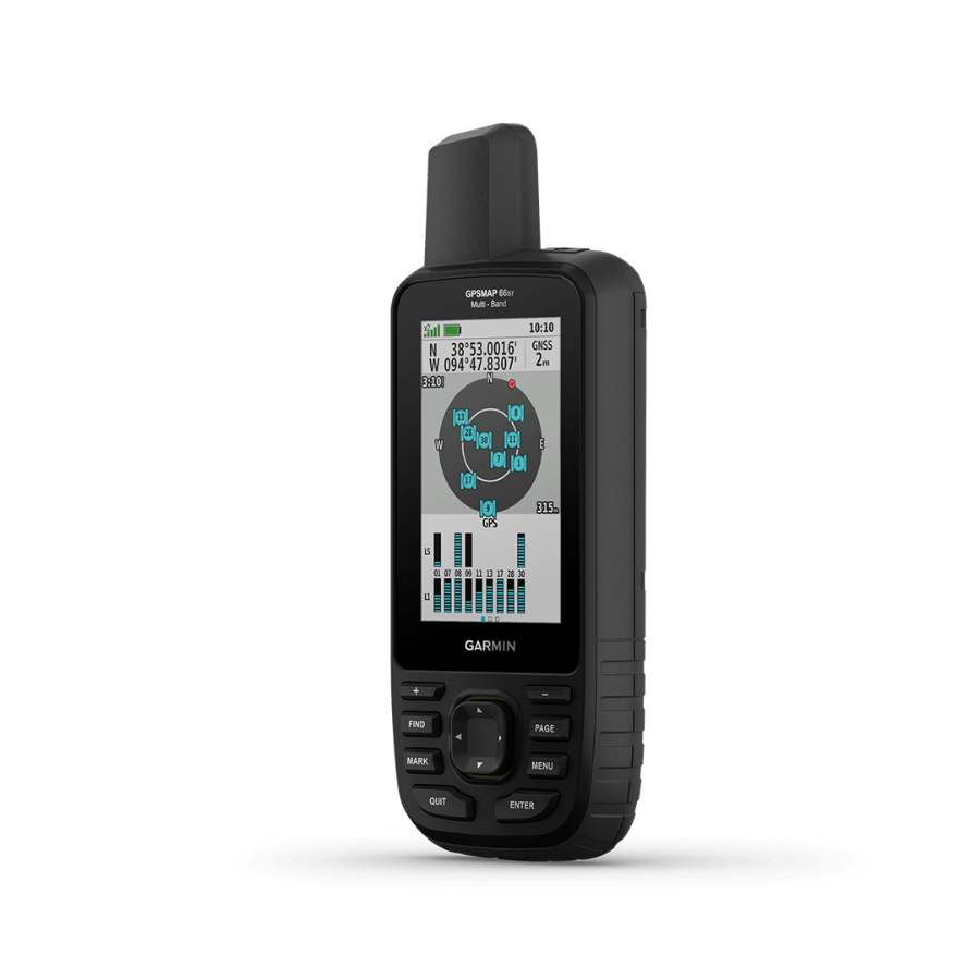
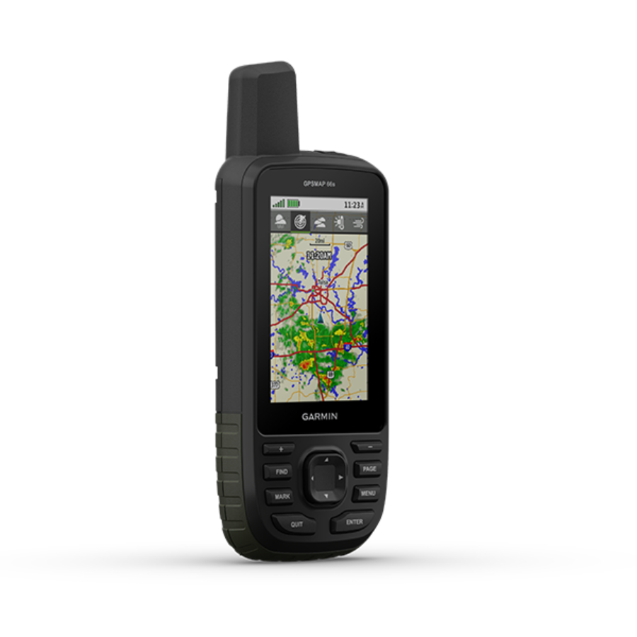
Color Touchscreen GPS/GLONASS Handheld with 3-axis Compass
- 2.6-inch color capacitive touchscreen
- 3-axis tilt-compensated compass
- GPS and GLONASS satellites for faster positioning
- 250,000 preloaded geocaches from Geocaching.com
- 4 GB memory to hold more maps
See the Way
eTrex Touch 25 features a sunlight readable, 2.6-inch color touchscreen display offering intuitive access to worldwide basemap with shaded relief. Durable and water resistant, eTrex Touch 25 is built to keep delivering vital mapping and tracking data no matter what the elements throw at you, standing strong against dust, dirt, humidity and water.
New Tools for Your Trek
The eTrex Touch 25 has a built-in 3-axis tilt-compensated electronic compass that displays your heading clearly even when you are standing stationary and does not require you to hold it level.
Go Anywhere
The eTrex Touch 25 is made to be used on ATVs, bicycles, boats, as a handheld device, and in your car thanks to a variety of compatible mounts. eTrex has the mapping and mounts to bring you wherever you think you might go with it.
Go Global
eTrex Touch 25 can track both GPS and GLONASS satellites simultaneously. Developed by the Russian Federation, GLONASS satellites “lock on” to a position (on average) faster than GPS receivers. Using both GPS and GLONASS means the receiver has the ability to lock on to 24 more satellites than using GPS alone.
Add Maps
The eTrex Touch 25’s microSD card port and 4 GB of internal memory allow you to load TOPO maps and start exploring the outdoors, plug in BlueChart® g2 preloaded cards for an enjoyable day on the water, or use City Navigator® NT map data for turn-by-turn navigation on highways. Additionally, the eTrex Touch 25 features BirdsEye Satellite Imagery, which enables you to download satellite images to your tablet and combine them with your maps (a subscription is necessary).
Find Fun
Geocaching.com has preloaded 250,000 geocaches on the eTrex Touch 25. Going paperless will increase efficiency while also preserving the environment. It is no longer necessary to manually enter coordinates or print out paper copies because the eTrex Touch 25 stores and displays crucial information such as location, topography, difficulty, hints, and descriptions. Put the GPX file on your device, then start looking for geocaches.
Plan Your Next Trip
With BaseCampTM, software that allows you to browse and organize maps, waypoints, routes, and tracks, take control of your next expedition. You may even build Garmin Adventures using this free trip planning tool, which you can then share with friends, family, or other travelers. On your computer screen, BaseCamp presents topographic map data in 2-D or 3-D, along with elevation profiles and contour lines. When used in conjunction with a BirdsEye Satellite Imagery subscription, it can also transfer an infinite number of satellite images to your device.


There are no reviews yet.